Ankaran - Ankaran (Bebler mountain trail)
Starting point: Ankaran (18 m)
| Lat/Lon: | 45,5787°N 13,7369°E |
| |
Name of path: Bebler mountain trail
Time of walking: 2 h
Difficulty: easy marked way
Altitude difference: 0 m
Altitude difference po putu: 200 m
Map: Primorje in Kras 1:50.000
Recommended equipment (summer):
Recommended equipment (winter):
Views: 13.440
 | 1 person likes this post |
Access to the starting point:
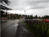
Take Ankaran, then turn off the roundabout onto Regent Street. Before the road starts to climb (after 10 metres), turn right in front of the post office to park in the pay parking lot in the centre of Ankaran.
Path description:
At the edge of the parking lot, near the Mercator shop, you will see an information board for the Bebler Mountain Trail. At first, we climb the stairs, where there are also signs for the Bebler Mountain Trail alongside Knafelč's markings, and the trail quickly leads us to an asphalt road, which we follow up past the parish church of St Nicholas in Ankaran. A little higher up, the road ends and we pass through a viewpoint into the forest. There is a cross-country climb through the forest, ascending the slopes of Črni vrh (also known as Iskra), and then reaching a dirt road, which you follow to the left (Črni vrh to the right). The road soon becomes tarmac, and at the crossroads you follow the markings. The way ahead takes you through Hrvatini, but when the priority road turns right, continue straight on, and cross the main road a little higher up. After crossing the main road, initially continue along a slightly narrower street, then go right after the Mercator shop.
Leave the Knafelč markings at the shop and continue following the Bebler Mountain Trail markings.
Continue to the Dr. Ales Bebler - Primož Primary School in Hrvatini, a few minutes away, with occasional views and no major changes in elevation, and then go right downhill after the school. After the school playground, go right again and start descending steeply. Cross the main road at a lower level and continue descending gently for some time. The path ahead takes you to the edge of the vineyards and starts to descend again a little more. Lower down, the view opens up towards the port of Koper, and lower still, the main road reaches Ankaran. Follow the road to the right, crossing it at the first pedestrian crossing, and then continue to the left. Walk briefly in the direction of Koper, then continue right towards the barracks. When you reach the fenced-off area, go right, and when the fenced-off area ends, you will soon reach a dirt road. Follow the road until you reach the football pitch ŠRC Katarina Ankaran, where NK Ankaran Hrvatini play their home matches, and after the football pitch you will reach St. Katarina (Polje Bay), where for the first time the road comes fully close to the Slovenian coast. The signs for the Bebler Mountain Trail then lead us along the coast, where we have a beautiful view of the sea and Koper, and soon we reach the cemetery of shells and snails. Through the marshy part we walk on a paved path, then the path climbs gently to the monument to Dr Ales Bebler. At the monument, reach the main road, walk along it to the roundabout, cross the main road at the pedestrian crossing, and then walk to the beginning or end of the circular path. The description refers to the situation in June 2018, while the pictures are from April and June 2018.

Pictures:
 1
1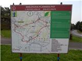 2
2 3
3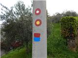 4
4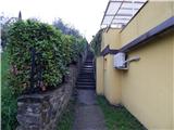 5
5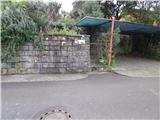 6
6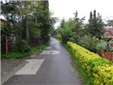 7
7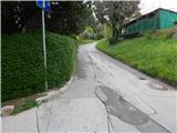 8
8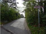 9
9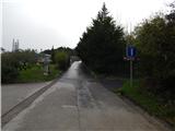 10
10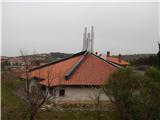 11
11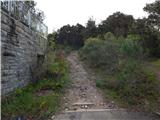 12
12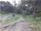 13
13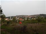 14
14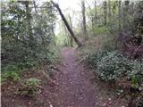 15
15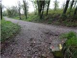 16
16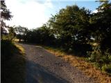 17
17 18
18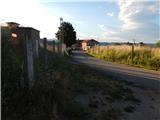 19
19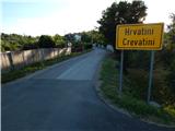 20
20 21
21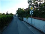 22
22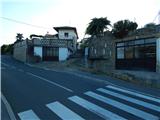 23
23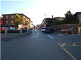 24
24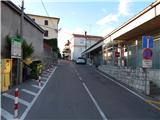 25
25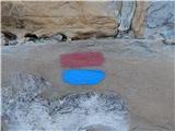 26
26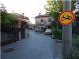 27
27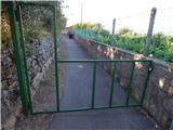 28
28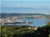 29
29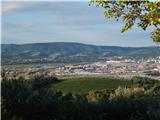 30
30 31
31 32
32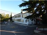 33
33 34
34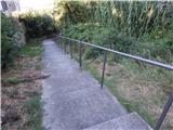 35
35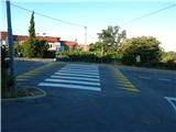 36
36 37
37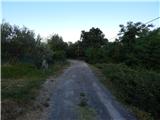 38
38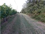 39
39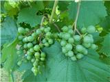 40
40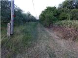 41
41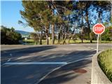 42
42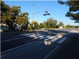 43
43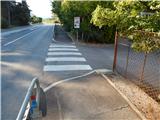 44
44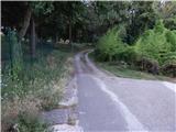 45
45 46
46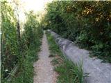 47
47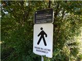 48
48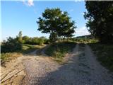 49
49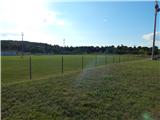 50
50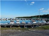 51
51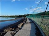 52
52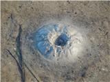 53
53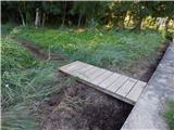 54
54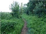 55
55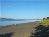 56
56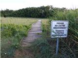 57
57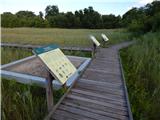 58
58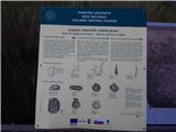 59
59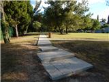 60
60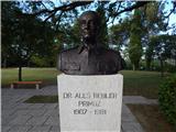 61
61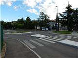 62
62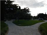 63
63
Discussion about the trail Ankaran - Ankaran (Bebler mountain trail)
|
| istrijan4619. 01. 2024 15:50:00 |
Od objave je že preteklo precej časa, zato se je dosti spremenilo.
Prvo bi rad dodal, da je to POT ZA SRCE IN DUŠO, zato so markacije označene s srčkom, ki je na eni strani pobarvano rdeče, na drugi modro. Simbolno torej: RDEČA: ENERGIJA. MODRA: MIR, SPROŠČENOST, DUŠA, kar je tudi misel v DRUŠTVA ZA SRCE.
Drugo. Sedaj takoj, ko konča vojaško območje je možno zaviti levo na ŠKOLJČNO SIPINO in po mostičku v pristanišče. Od tu dalje je narejen nov lesen mostovž, ki nas pripelje, mimo spomenika BEBLERJU v Ankaran.
|
|
|
|
| turbo19. 01. 2024 17:09:06 |
|
|
|