Bohinjska Bela (St. Marjeta) - Rečiška planina
Starting point: Bohinjska Bela (St. Marjeta) (468 m)
| Lat/Lon: | 46,3499°N 14,0695°E |
| |
Time of walking: 3 h 30 min
Difficulty: easy marked way
Altitude difference: 797 m
Altitude difference po putu: 915 m
Map: TNP 1:50.000
Recommended equipment (summer):
Recommended equipment (winter): ice axe, crampons
Views: 239
 | 1 person likes this post |
Access to the starting point:
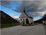
From the Bled - Bohinjska Bistrica road, drive in the direction of Bohinjska Bela, where you can park in the parking lot near the parish church of St. Marjeta.
Path description:
From the parking lot, continue along the asphalt road, which begins to climb gently through the village. The road soon becomes completely flat and leads past the post office and the Mercator shop to a crossroads, where you continue slightly right in the direction of the Klemuc apartments. After the small pond, go right in the direction of Mlina peč, Slamniki and Galetovec (slightly left Iglica and Široka peč) and start climbing up the cart track, along which you will be accompanied by the signs of the educational trail. At a small crossroads, go slightly left and climb crosswise to a small pass where a short path branches off to the right to the Mlina peč lookout, and we continue slightly left in the direction of Galetovec and Slamniki. There is an easy climb where you pass the casino, and we turn slightly to the right at the casino. When the Godrnjavčva trail turns right a little further on, we continue straight ahead, past the woodpile into the forest. We continue straight through the forest, at this point we see a lone marking, and then we cross a tarmac road, which we follow up to a marked crossroads.
From the crossroads, bear slightly right in the direction of Kavka and continue along the cart track, which climbs moderately for the most part. Cart track soon narrows to a footpath which turns slightly to the right and crosses a small stream, and continue following the signs for Rčitno. Once out of the forest, you will reach Kavka, where you continue to the right and pass a large wood pile to reach the forest, where you continue walking along cart track. At a higher altitude, cart track climbs steeply, then widens at the feed station into a less good road, which in a few minutes reaches a wider macadam road, which is followed to the left towards Rčitný.
The road then turns into a valley below Strešni brdo, and when you leave the valley, you move onto the slopes of Gač, from where you can get some views of the surrounding hills. The way forward is to return to the forest, and when we leave the forest we reach Rčitno, where there are a few huts.
In the middle of the lower part of mountain pasture, continue left in the direction Bohinjska Bela and follow the road, which soon turns into cart track, ascending in a moderate ascent to the upper southern edge of mountain pasture, where you continue to the right (straight ahead to Bohinjska Bela) past the huts into the forest. In the forest you will quickly see the signs for Pokljuka, and we climb crosswise to the forest road, which we follow to the right (we can reach Galetovec on the left). The road descends slightly, and then signs and markings direct us left onto a path that ascends crossways over a slightly steeper slope. Higher up, we reach cart track, and we follow it up a small valley, where we quickly reach a crossroads by a small hut. After the hut, continue to the right and the marked path leads to Forestry cottage Mali Vokel, situated at an altitude of 1145 m.
Go around the forestry cottage on the right, and then the signs will lead you into the forest, through which you will climb more steeply. A few minutes higher up, we cross a dirt road, and we continue straight ahead, also following the dirt road, and in a few 10 steps we reach the hunting lodge.
Walk around the hunting lodge on the left and continue walking on the worse road. When the road turns slightly to the right, continue straight ahead on the marked cart track, then follow the markings and climb up to the former ski slope Zatrnik, where you start descending (if you continue to the right you can climb to the top of the ski slope Berjanca in a minute or two, where you will have a beautiful view that reaches all the way to Triglav). There is a short descent, then cross the forest road and continue along the marked cart track. Cart track soon splits, and we take the upper right path, which continues to climb through the spruce forest. A few minutes higher up, take the marked path cart track to the left, which soon starts to descend to the north-eastern part of Rečiška mountain pasture. Then walk along Rečiška planina, passing a few huts.
Bohinjska Bela - Rčitno 1:45, Rčitno - G. k. Mali Vokel 0:50. Mali Vokel - L. k. Mali Vokel 0:10, L. k. Mali Vokel - Berjanca 0:10, Berjanca - Rečiška planina 0:35.
Description and figures refer to the situation in 2019 (November).

Pictures:
 1
1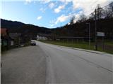 2
2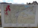 3
3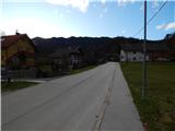 4
4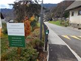 5
5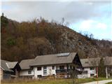 6
6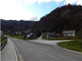 7
7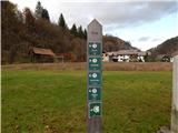 8
8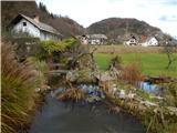 9
9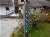 10
10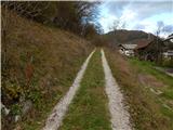 11
11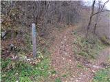 12
12 13
13 14
14 15
15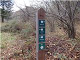 16
16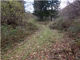 17
17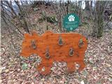 18
18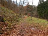 19
19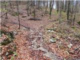 20
20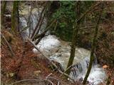 21
21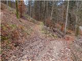 22
22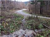 23
23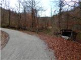 24
24 25
25 26
26 27
27 28
28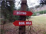 29
29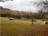 30
30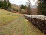 31
31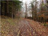 32
32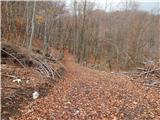 33
33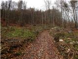 34
34 35
35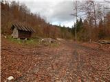 36
36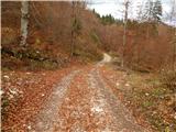 37
37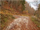 38
38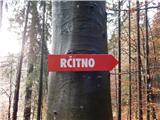 39
39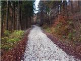 40
40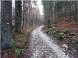 41
41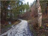 42
42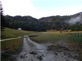 43
43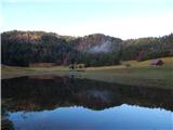 44
44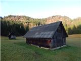 45
45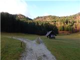 46
46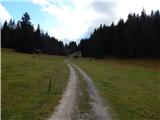 47
47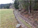 48
48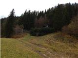 49
49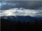 50
50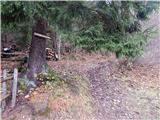 51
51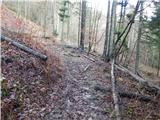 52
52 53
53 54
54 55
55 56
56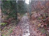 57
57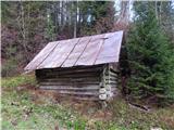 58
58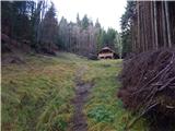 59
59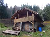 60
60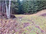 61
61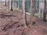 62
62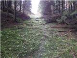 63
63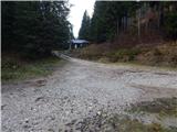 64
64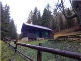 65
65 66
66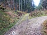 67
67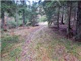 68
68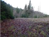 69
69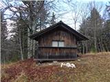 70
70 71
71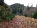 72
72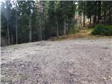 73
73 74
74 75
75 76
76 77
77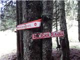 78
78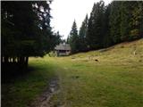 79
79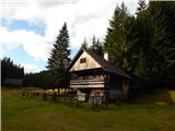 80
80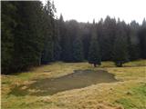 81
81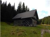 82
82
Discussion about the trail Bohinjska Bela (St. Marjeta) - Rečiška planina