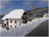
Starting point: Breznica (770 m)
| Lat/Lon: | 46,1676°N 14,2537°E |
| |
Time of walking: 40 min
Difficulty: easy marked way
Altitude difference: 255 m
Altitude difference po putu: 255 m
Map: Škofjeloško in Cerkljansko hribovje 1:50.000
Recommended equipment (summer):
Recommended equipment (winter):
Views: 62.744
 | 6 people like this post |
Access to the starting point:
First, drive to Škofja Loka and from there continue in the direction of Gorenje vas. In the village Podpulfrca (located just after Škofja Loka), leave the main road and turn right in the direction of the villages Breznik and Gabrovo (there is also a sign for the cottage at Lubnik). Follow the ascending road to the guesthouse "Pri Nacetu", which is located in the upper part of the village Breznik below Lubnik. Park in one of the parking lots along the road in front of or behind the village (parking in "Pri Nacetu" is only allowed for guests).
Path description:
In the vicinity of the guesthouse "Pri Nacetu" we see the mountain signs for Lubnik, which direct us to the footpath, which initially ascends crosswise over a grassy slope. The path then goes into the forest and joins the wide cart track a little higher up.
Continue in the same direction (sharp left Praprotno) along the initially rather winding cart track which is soon joined by the path from the village of Gabrovo. Continue along the wide cart track, which climbs slightly steeper. A little higher up, the path from Podlubnik joins us from the right, and we continue along the cart track, which leads us to the top of Lubnik after a few minutes' walk.
Pictures:
 1
1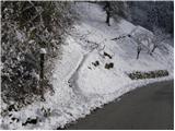 2
2 3
3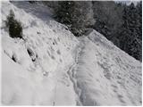 4
4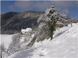 5
5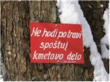 6
6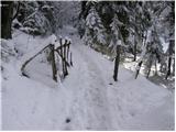 7
7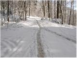 8
8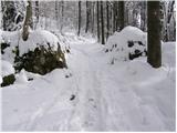 9
9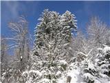 10
10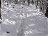 11
11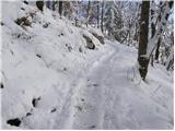 12
12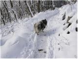 13
13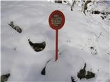 14
14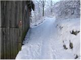 15
15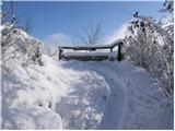 16
16 17
17
Discussion about the trail Breznica - Lubnik
|
| Guest3. 12. 2006 |
bilo je super
oskrbniki v koči zelo prijazni
še se bom vrnila na lubnik
planinski pozdrav
grozdana
|
|
|
|
| Guest16. 10. 2007 |
 Lahko bi oskrbnik lepše uredil okolico,katera deluje neurejeno če ne že zanikrno 
|
|
|
|
| Guest16. 10. 2007 |
zanikrno milo rečeno
|
|
|
|
| klavdy626. 04. 2009 |
Kljub oblačnemu vremenu lep izlet ob katerem se zanikrnosti sploh ne opazi
|
|
|
|
| Lisica17. 11. 2012 |
40 min? Mogoče iz vasi gor, če pa že ob cesti parkiraš je pa vsaj 1 uro+. Lep izletek, lep hrib. 
|
|
|
|
| marinca11. 05. 2013 |
Super izlet, rano prav hoje, primerno tudi za otroke. V koči na Lubniku so zelo prijazni. Splača pa se ustaviti v Breznici v okrepčevalnici Malina, kjer vam tudi dobro postrežejo!
|
|
|
|
| malihodec21. 06. 2013 |
Administratorja prosim, da preveri in popravi koordinate. Trenutno objavljene za Breznico vas bodo pripeljale v bližino Žirovnice na Gorenjskem. Na Navigonu sem izmeril koordinate: 46,1006 in 14,1512.
Glede izleta se pa strinjam z Marinco.
Hvala in lep planinski pozdrav
|
|
|
|
| Tadej21. 06. 2013 |
Sem preveril koordinate in so prave.
Pri vnašanju koordinat na svoje navigacijske naprave je potrebno paziti, da vnesete koordinate z decimalnim zapisom in ne tistih s stopinjami, minutami in sekundami.
Lp, Tadej
|
|
|
|
| glorija2. 05. 2021 15:34:50 |
Lepo označena pot,zelo prijazno osebje gospe oskrbnice,ki me je prijazo postregla z okusno hrano,z gospodom,ki dela tudi v koči pa poklepetava še na izhodišču po končani prehojeni poti...Toplo priporočam,z veseljem se bom vrnila ..lp
|
|
|