Črni Kal - Koprivnik (via Romovec)
Starting point: Črni Kal (1103 m)
| Lat/Lon: | 46,1724°N 14,1243°E |
| |
Name of path: via Romovec
Time of walking: 1 h
Difficulty: easy marked way
Altitude difference: 290 m
Altitude difference po putu: 315 m
Map: Škofjeloško in Cerkljansko hribovje 1:50.000
Recommended equipment (summer):
Recommended equipment (winter): ice axe, crampons
Views: 6.404
 | 2 people like this post |
Access to the starting point:
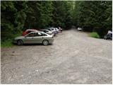
From Škofja Loka we drive towards Gorenjska vas, but only as far as the village Poljane above Škofja Loka. Here we continue to the right in the direction of the village of Javorje, following the ascending road, which leads us higher into the village. In the said village, from where we also join the road with Zapreval, we continue to the left in the direction of Blegoš (the crossroads are well marked). The road, which further crosses a few hamlets, leads us higher to a crossroads of several roads (Črni Kal), where there is also a slightly larger parking lot. At the parking lot we see direction signs for Blegoš and Koprivnik.
Path description:
From the parking lot, take the route cart track in the route Koprivnik. After a few 10 steps, you will notice direction signs along the way, which direct you to the right (straight Martinj vrh) to an initially less visible path that climbs steeply up a rather overgrown slope. The way forward becomes more distinct and quickly leads us to the western ridge of Romovec. The path then climbs steeper, then lays down and quickly leads us to the overgrown top of Romovec.
A short descent follows and the path, which runs through the forest the whole time, leads us to a pleasant bench by which we notice a registration box. Continue straight along the gently sloping path, which joins the wide cart track just a little further on. Follow Cart track in the direction of Koprivnik (right down Žetina), which gradually starts to climb more steeply. At the point where cart track begins to overgrow tall grass, you will see an initially less visible but marked path on the right, which branches off to the right with cart track. Next, we climb through the initially very dense forest, along a path which leads us higher up on partly scenic slopes, from which we have a view of the nearby Blegoš. A little further on, the steepness eases and the path quickly leads us over a blueberry patch to the top of Koprivnik.

Pictures:
 1
1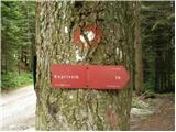 2
2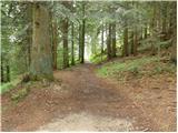 3
3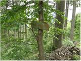 4
4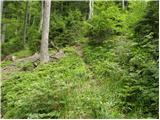 5
5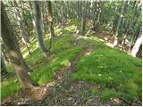 6
6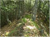 7
7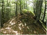 8
8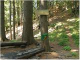 9
9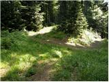 10
10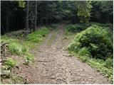 11
11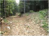 12
12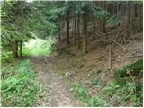 13
13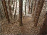 14
14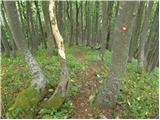 15
15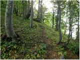 16
16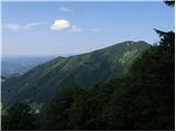 17
17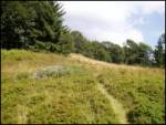 18
18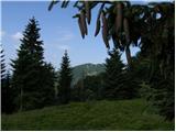 19
19 20
20
Discussion about the trail Črni Kal - Koprivnik (via Romovec)