Starting point: Dolenja Dobrava (404 m)
| Lat/Lon: | 46,1003°N 14,151°E |
| |
Time of walking: 1 h 30 min
Difficulty: easy marked way
Altitude difference: 497 m
Altitude difference po putu: 510 m
Map: Škofjeloško in Cerkljansko hribovje 1:50.000
Recommended equipment (summer):
Recommended equipment (winter): crampons
Views: 3.950
 | 1 person likes this post |
Access to the starting point:
a) From Žiri or Škofja Loka drive to Gorenjska vas, and in Gorenjska vas turn from the roundabout at the Petrol station in the direction of Vrhnika and Horjul. When you reach Dolenja Dobrava, you will see the Jager Inn on the right, and a little further on, the road to the village of Dobravšce branches off to the right. At this crossroads, the route described above begins. There are no parking spaces at the starting point.
b) From Horjul or Polhovy Gradec, drive to Lučine and then start descending towards Gorenjska vas. When you reach Dolenja Dobrava, the road to Dobravšce turns off to the left. At this junction, where there are no parking spaces, the route described above begins.
Path description:
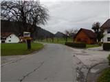
Start in the centre of Dolenja Dobrava, from where you head towards Dobravšce. At first, we walk past a few more houses in Dolenja Dobrava, and then we arrive quite unobtrusively in Dobravšce, where, a little further on from the chapel, we arrive at a junction of three roads, where we take the middle road. Continue walking on the asphalt road, then at the point where the asphalt road turns slightly right, continue straight on to the grassy cart track. Continue on the grassy cart track, which will take you in a few minutes to the Dršak stream, which you will cross via a footbridge. On the other side of the stream, the path continues along cart track and soon turns left and forks. Continue on the right cart track, and follow the best-beaten track higher up. Higher up, cross a few more dirt tracks and an asphalt road, and then follow the signposts at the crossroads, which are very sparse or non-existent in the lower part. A little further on, the path is laid and leads us past an interesting tree out of the forest, where we cross the asphalt road once more to the right of a nearby farmhouse. The way forward leads us past a sign, after which the path returns to the forest.
Once out of the forest, we reach the next asphalt road, where the path from Gorenje vas joins us on the right, and we continue along the upper road towards the hunting lodge. Above this crossroads, the road from Žiri joins from the right, and we continue to the left, passing the top of the hill to reach the hunting lodge at Javorč.
Description and pictures refer to the situation in 2017 (November).

Pictures:
 1
1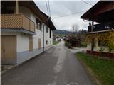 2
2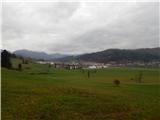 3
3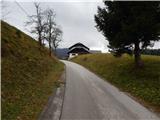 4
4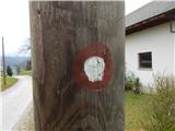 5
5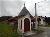 6
6 7
7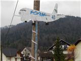 8
8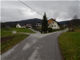 9
9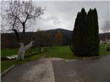 10
10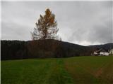 11
11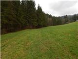 12
12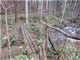 13
13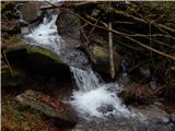 14
14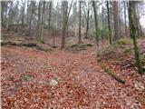 15
15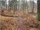 16
16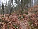 17
17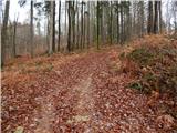 18
18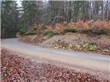 19
19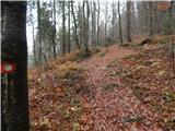 20
20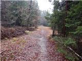 21
21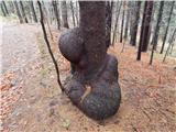 22
22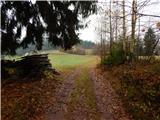 23
23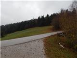 24
24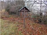 25
25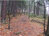 26
26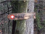 27
27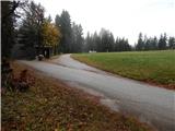 28
28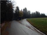 29
29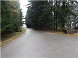 30
30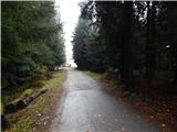 31
31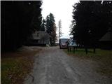 32
32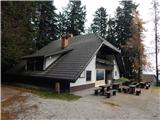 33
33 34
34
Discussion about the trail Dolenja Dobrava - Javorč
|
| TMravinec21. 02. 2024 10:30:27 |
Stanje na dan 17. 2. 2024: Brv na sliki 13 je odnesla povodenj poletja 2023. Potok se sicer da prečkati po skalah, a previdnost ne bo odveč.
|
|
|