Dolina Zaplaninščice - Črni vrh (Čemšeniška planina)
Starting point: Dolina Zaplaninščice (378 m)
| Lat/Lon: | 46,2178°N 14,9379°E |
| |
Time of walking: 2 h 30 min
Difficulty: easy marked way
Altitude difference: 826 m
Altitude difference po putu: 826 m
Map: Posavsko hribovje - zahodni del 1:50.000
Recommended equipment (summer):
Recommended equipment (winter): ice axe, crampons
Views: 5.593
 | 1 person likes this post |
Access to the starting point:
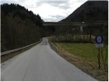
a) From the Ljubljana - Maribor motorway, take the Trojane exit and then continue along the parallel old road towards Vransko. After a few kilometres downhill, you will see signs for Zaplanina, which will direct you to the right onto a narrower local road. The road first crosses a stream and then leads under a motorway viaduct. This is also the best place to park. Parking is also possible higher up in a suitable place along the road.
b) From the motorway Maribor - Ljubljana take the exit Vransko and then continue along the parallel old road towards Trojany. Before the road starts to climb steeply, you will notice signs for Zaplanina, which direct you left onto a narrower local road. The road first crosses a stream and then leads under a motorway viaduct. This is also the best place to park. Parking is also possible higher up in a suitable place along the road.
Path description:
From the starting point, continue along the asphalt road, which climbs first gently and then moderately along the valley of the Zaplaninščica stream. The road continues past a few houses and then reaches a small crossroads, where you continue along the road on the left. The route continues along the asphalt road, and we climb to the next crossroads at the foot of Šmarnega ridge and with a view of Čemšeniška mountain pasture. Here we continue straight towards the Podlesnik farm (right Zaplanina), and the macadam road leads us through the forest for some time. After a few minutes, the forest ends and the road turns to the right, leading to Podlesnik Farm. Here the road leads us between houses (beware of the big dog!) and, after the first house on the left, turns sharp left onto cart track, which continues to climb across the grassy slope. The reasonably well-marked cart track climbs in 15 minutes to a nearby dirt road, which is followed to the left. The way ahead leads us past a signpost marking the beginning of the municipality of Tabor, and we walk along it to the Presedlje prevala, where there is a chapel and, on a tree next to it, a mountain signpost.
Here we continue to the right (straight down Tabor, Krvavica and Zajčeva koča) and walk to the nearby NOB monument. At the monument or grave, the trail, which continues along the cart track, turns slightly to the left and then climbs crosswise over a grassy slope with a view. The marked path soon turns right and enters the forest, through which it quickly climbs to the next forest road. Follow the road to the left and then, just after the ramp, continue along the upper right-hand road, which ascends in a few minutes to where the signs for Čemšeniška mountain pasture direct you sharp right onto a slightly steeper footpath. The path continues to climb through the forest and leads us in a few long detours to a marked crossroads below Črnim vrh.
Here we continue to the left (right Koča na Čemšeniški planini 15 minutes) and follow the path which continues through the forest to the registration box on or just below the Black Peak.
Here we continue to the right (left Vrhe and Sveta planina) and then at the next crossroads, which is located just a few steps further on, we turn right again (straight down Koča na Čemšeniški planini). The way forward leads us past the place where the old hut stood and past the huts of the radio amateurs. The summit, which can be reached easily, is located just a few steps above the above-mentioned amateur radio hut.

Pictures:
 1
1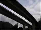 2
2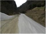 3
3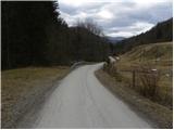 4
4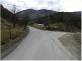 5
5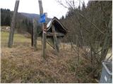 6
6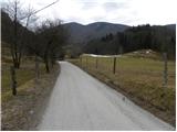 7
7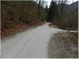 8
8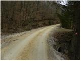 9
9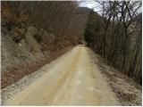 10
10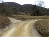 11
11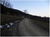 12
12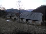 13
13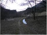 14
14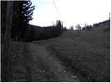 15
15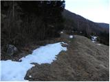 16
16 17
17 18
18 19
19 20
20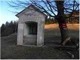 21
21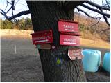 22
22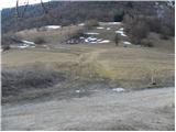 23
23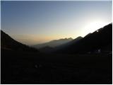 24
24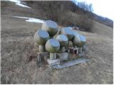 25
25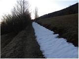 26
26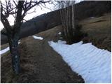 27
27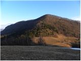 28
28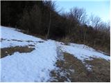 29
29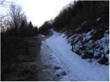 30
30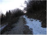 31
31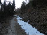 32
32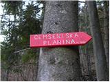 33
33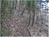 34
34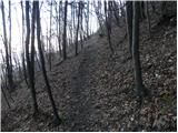 35
35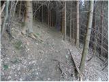 36
36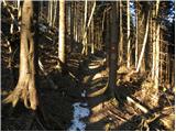 37
37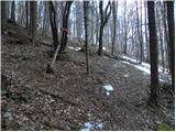 38
38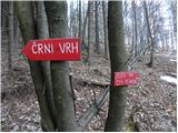 39
39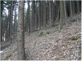 40
40 41
41 42
42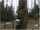 43
43 44
44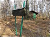 45
45 46
46
Discussion about the trail Dolina Zaplaninščice - Črni vrh (Čemšeniška planina)
|
| bruny13. 03. 2012 |
Bi skoraj !? rekel  , da smo se srečali v nedeljo ko sva sestopala v dolino Zaplaninščice...ampak nisva srečala nikogar...Lepa pot in enkrat jo bo potrebno skombinirati tudi navzgor v širši kombinaciji. Hudega psa nisva srečala !? - morda je takrat počival. Čestitke za odličen opis...
|
|
|
|
| Tadej14. 03. 2012 |
Pot sem prehodil v nedeljo, od takrat so tudi slike. Sem pa izlet podaljšal še do Svete planine in Zajčeve koče.
|
|
|