Gornje Retje - Grmada on Mala gora
Starting point: Gornje Retje (580 m)
Time of walking: 1 h 40 min
Difficulty: easy marked way
Altitude difference: 307 m
Altitude difference po putu: 350 m
Map:
Recommended equipment (summer):
Recommended equipment (winter):
Views: 6.531
 | 1 person likes this post |
Access to the starting point:
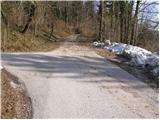
From Ljubljana, drive to Kočevje or vice versa. Just about a kilometre after (from Kočevje before) Veliki Lašče, you will reach a crossroads, where you turn left towards the village of Gornje Retje (from Kočevje, right). The road then takes you over a narrow overpass over the railway line to a crossroads, where you continue to the right. After a short climb, the road quickly leads to Gornje Retij, where a sign directs you left up a steep road. Follow the steep asphalted road for about 100 m to a place where you will notice a yellow mountain sign with the inscription Grmada, which directs you to a worse macadam road, along which you can then park (you can also park under the village near the containers for separate waste collection, but in such a way that you do not hinder the eventual collection of waste).
Path description:
From the starting point, continue in the direction of Grmada along the deteriorating road, which turns into cart track higher up. Cart track changes from forest to extensive meadows higher up, over which the route continues without any significant change in elevation. The path then goes into a short lane of wodland, where it descends gently, crosses a dirt road and climbs to a small hamlet on the other side. Shortly before the hamlet, the path turns right and continues climbing gently up the upper side of the next meadow. The pleasant path soon crosses another short lane of wodland, after which it passes onto uncultivated slopes from which a view opens up towards Grmada. A gentle ascent takes you over a grassy slope, then the path dips into the forest again, where you cross the next forest road in a gentle descent. The path then re-emerges from the forest and continues along the wide, partly rocky cart track, which turns quite to the right at the hunting observation post. The markings then direct us to the left onto a slightly steeper grassy slope, which we follow up to the edge of the forest, where we join the path from Kamen vrh on our left.
Continue on the marked path, which goes slightly further left into the forest and follow it in a moderate slope to the top of Grmada.
Due to the numerous crossroads and sometimes rather sparse markings, orientation on the trail is difficult.

Pictures:
 1
1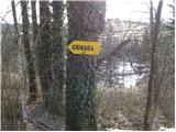 2
2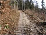 3
3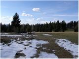 4
4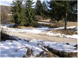 5
5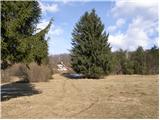 6
6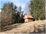 7
7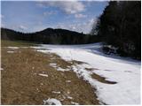 8
8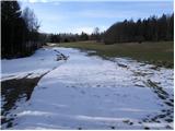 9
9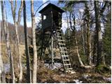 10
10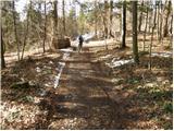 11
11 12
12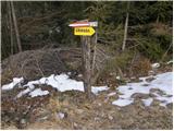 13
13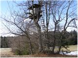 14
14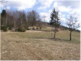 15
15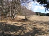 16
16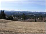 17
17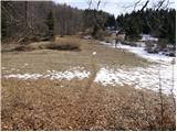 18
18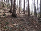 19
19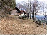 20
20 21
21
Discussion about the trail Gornje Retje - Grmada on Mala gora