Gornji Grad - Sveti Florjan above Gornji Grad (steep path)
Starting point: Gornji Grad (436 m)
| Lat/Lon: | 46,295°N 14,8068°E |
| |
Name of path: steep path
Time of walking: 1 h
Difficulty: easy marked way
Altitude difference: 307 m
Altitude difference po putu: 307 m
Map: Kamniške in Savinjske Alpe 1:50.000
Recommended equipment (summer):
Recommended equipment (winter):
Views: 5.411
 | 1 person likes this post |
Access to the starting point:
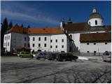
From the Savinja Valley or from Kamnik via the Črnivec Pass, drive to Gornji Grad, where you can park in the parking lot next to the main bus station.
Path description:
From the parking lot, continue along the main road towards Savinjska dolina. After a few 10 m you will reach a small crossroads, where the signs for Dom na Menini planini direct you to the right onto Prod. Just after the first house, we come to a marked crossroads, where the path through Borovnica branches off to the right, and we continue straight on towards Menina mountain pasture past Semprimožnik. Continue along the road for a while and then you will come to a larger chapel, after which you will turn right onto a forest road. The road quickly leads to a small stream, after which it turns into a steep cart track. The ascent continues along the marked cart track, which turns left at a higher altitude and leads us a little further to a marked crossroads.
Continue right along the steep path which, after about 20 minutes' further walking, leads us past a 17th century plague marker to an undistinguished preval, where we are joined on the right by a sloping path. On the pass, continue left and, after a few steps of further walking, you will reach the church of St Florjan, which offers a beautiful view.

Pictures:
 1
1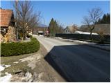 2
2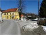 3
3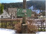 4
4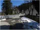 5
5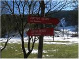 6
6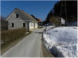 7
7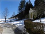 8
8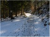 9
9 10
10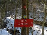 11
11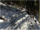 12
12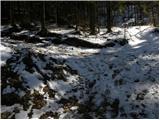 13
13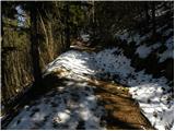 14
14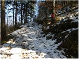 15
15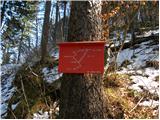 16
16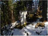 17
17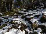 18
18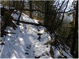 19
19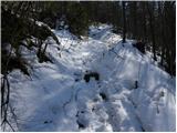 20
20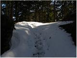 21
21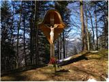 22
22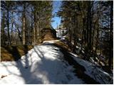 23
23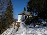 24
24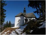 25
25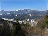 26
26
Discussion about the trail Gornji Grad - Sveti Florjan above Gornji Grad (steep path)
|
| sergejom1. 10. 2010 |
1 uro, ne se hecat. Normalne hoje (sprehod varijanta) je 30 minut.
|
|
|