Kraljev hrib - Črnuški dom na Mali planini (via Škorenca, Kačjek and Gamsove streže)
Starting point: Kraljev hrib (540 m)
| Lat/Lon: | 46,3061°N 14,6088°E |
| |
Name of path: via Škorenca, Kačjek and Gamsove streže
Time of walking: 4 h
Difficulty: partly demanding unmarked way
Altitude difference: 986 m
Altitude difference po putu: 1200 m
Map: Kamniške in Savinjske Alpe 1:50.000
Recommended equipment (summer):
Recommended equipment (winter): ice axe, crampons
Views: 4.810
 | 1 person likes this post |
Access to the starting point:
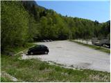
First we drive to Kamnik, then continue in the direction of Kamnik Bistrica and the cable car to Velika planina. At Stahovica, turn left (direction Kamniška Bistrica and cable car Velika planina) and follow the road ascending moderately, then follow it to the large parking lot near the bottom station of the cable car to Velika planina (the parking lot is on the right hand side of the road).
Path description:
From the parking lot, turn onto the macadam road in the direction of King's Hill and Velika planina. At the first right turn, a marked path branches off to the left towards mountain pasture Dol, Velika planina and Konje, and we follow the wide road to the first major left turn. In the middle of the bend, just after the electricity pylon, leave the road leading to the Kraljev hrib guesthouse and continue right along the forest road, which leads past the chapel to the next left turn (you can also get here by car). As with the first turn, continue to the right, but now follow cart track, which branches off from the road at the animal feeding station.
Continue on the gently sloping cart track, which gradually turns into a well-traced hunting track. The path crosses the slopes to the right for some time, crosses the Šimnov landslide, and then begins to climb steeply in numerous switchbacks. Higher up, you reach a well-marked and partially visible crossroads. On one of the trees directly next to the crossroads, we see an R sign and a left arrow below it (R - indicating the approach along the hunting trail to Rigelj), and we continue to the right along the cross trail leading to the Sivnik hunting lodge. We continue along the well-traced, but leaf-covered path, which leads us through ravines and sometimes steeper slopes to the Sivnik hunting lodge. It takes about 1. 5 hours of moderate walking to get here.
At the hunting lodge, another of the paths leading to Rigelj branches off to the left, and we continue straight ahead on a cross path which, shortly after the hunting lodge, passes to the other side of an undistinguished ridge. The path crosses many ravines and steep slopes and leads us over the slopes of Škorenca and Kačjek to the completely forested Gamsovih servers. Here the long crossing of the slopes ends, and the path turns slightly to the left and begins to climb steeply. Higher up, the path again veers to the right and then leads us in a cross-climb to a place where we enter the marked path Stahovica - Velika planina.
Once on the marked trail, continue left (straight mountain pasture Kisovec, right Stahovica) along the trail, which gradually begins to climb steeper and steeper. Higher up, the path lies and leads over a pasture fence to the southern edge of the plateau Velika planina. Just a few metres above the grazing fence, we cross a wider path, and we continue straight ahead on a slightly less visible track, which soon leads us to the first huts on mountain pasture. Follow the gently sloping path across the pastures to the memorial to those who died in the Allied plane crash in 1944. Just a few metres before the memorial, continue left (Jarški dom on the right) and then, after a moderately steep path, you will reach the Črnuški dom na Mali mountain pasture in 5 minutes' further walking.

Pictures:
 1
1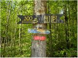 2
2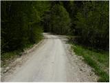 3
3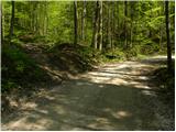 4
4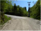 5
5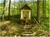 6
6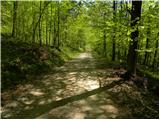 7
7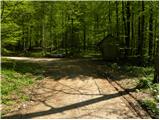 8
8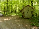 9
9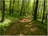 10
10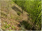 11
11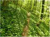 12
12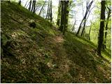 13
13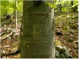 14
14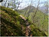 15
15 16
16 17
17 18
18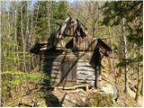 19
19 20
20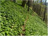 21
21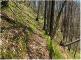 22
22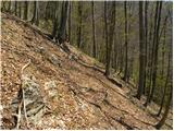 23
23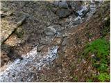 24
24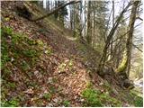 25
25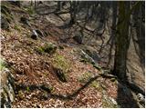 26
26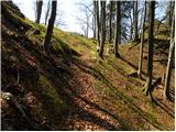 27
27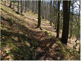 28
28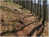 29
29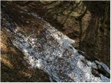 30
30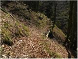 31
31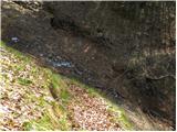 32
32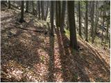 33
33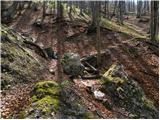 34
34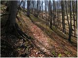 35
35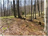 36
36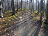 37
37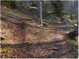 38
38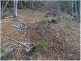 39
39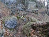 40
40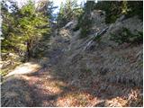 41
41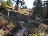 42
42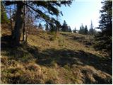 43
43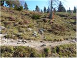 44
44 45
45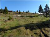 46
46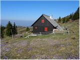 47
47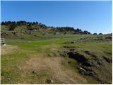 48
48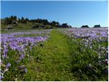 49
49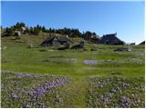 50
50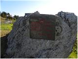 51
51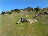 52
52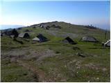 53
53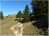 54
54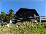 55
55
Discussion about the trail Kraljev hrib - Črnuški dom na Mali planini (via Škorenca, Kačjek and Gamsove streže)
|
| janez601. 08. 2012 |
Če nadaljujemo pot od bivaka na Sivniku ( ruševine )tako, da sledimo še kar dobro vidni stezi, ki se začenja za podirajočo se zgradbo v pol ure dosežemo prečno lovsko stezo, ki se proti levi priključi stezi čez Rigelj, če pa gremo desno prečimo strma travnata pobočja tik nad gozdno mejo, dokler se spet ne spustimo v gozd, v katerem proti levi ( v isti smeri kot smo prišli do tod ) kmalu dosežemo široko podrto grapo. Sledimo njenemu levemu robu, dokler nam ne omogoči prehoda na drugo stran, pri čemer merimo na grebensko ramo na drugi strani ( ostanki steze ).Na rami spet ujamemo lovsko stezico, ki nas strmo naravnost navzgor in nato proti desni nad stenami privede na rob planote blizu Domžalskega doma. Planoto dosežemo v bližini vodnega izvira imenovanega "Curla".  Zahtevna orientacija, primerno za raziskovanja željne brezpotnike 
|
|
|