Starting point: Kuk (430 m)
| Lat/Lon: | 46,1962°N 13,9361°E |
| |
Time of walking: 3 h 30 min
Difficulty: easy unmarked way
Altitude difference: 1414 m
Altitude difference po putu: 1450 m
Map: Škofjeloško in Cerkljansko hribovje 1:50.000
Recommended equipment (summer):
Recommended equipment (winter): ice axe, crampons
Views: 7.350
 | 1 person likes this post |
Access to the starting point:
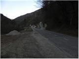
a) First drive to Škofja Loka, then continue to Železniki, Podbrdo and on to Tolmin. Shortly after the end of Podbrdo, a narrow and steep road turns off to the right towards the village of Kuk. Park on the main road at a suitable place near the crossroads.
b) Drive to Bača pri Modreju, then continue driving towards Podbrdo and Železniki. After Hudajužna, the road first turns left towards the villages of Znojile, Stržišče and Kal, and we follow the main road for about 1 km before reaching a crossroads where a steep asphalt road turns sharp left towards the village of Kuk. Park along the main road in a suitable place near the junction.
Path description:
From the starting point, first carefully cross the main road and then take the road towards the village of Kuk. The road first climbs steeply across a steep slope, then leads to a ridge where it turns sharply to the right. After a few minutes' walk, the path leads to the village.
In the middle of the village, turn slightly right, onto a road that ends some 10 metres higher. Continue left on the wide cart track, which immediately turns right and climbs steeply up a steep slope. Soon we come to a crossroads of tracks, and we choose the one that turns sharp left. The track then climbs over a short hayfield, then enters the woods and crosses the western slopes of Durnik Peak. Higher up, you reach a small saddle, where the path passes to the right side of a hill called Krn. Cross the summit without any major changes in altitude, and then at the next saddle, switch back to the left side of the ridge. This time, we will walk around the left side of the Stonbont peak, which, at 882 m, is the highest peak of the ridge we have been walking on for some time. A short descent follows and the path, which opens up a beautiful view of the Lower Bohinj Mountains, quickly leads us to the village of Kal, where we reach the marked path.
In the village of Kal we see the markings for Črna prst, which lead us past a water trough and some houses to a cart track that first climbs over a grassy slope and then passes into a forest, through which we then climb for some time. Higher up, we join a less good forest road, which we follow to the right, and we walk along it to a marked crossroads at Sedlo saddle.
From Sedlo, where the path from Podbrdo joins, continue left and follow cart track for only a short time, as the signs then direct us left onto a footpath that begins to climb steeply through the forest. Higher up, the path transitively lays down a little, and then leads to a lookout with a bench. A little beyond the bench, the path splits into two (the right-hand path is the more beaten track), and then after about 15 minutes they join again. Just above the merging of the two paths, you reach the next bench, which offers a beautiful view towards Kobla and the peaks above Soriška mountain pasture.
From the bench, we continue through the forest for a short distance, then the trail switches to grassy slopes that are increasingly more scenic. Once out of the forest, the path slowly starts to turn slightly to the right, then turns left and climbs cross-country to the Čez Suho saddle, where the path from the Bohinj side joins us.
Here, continue left and, with views of Baška grapa, Bohinj and the highest peaks of Julian Alps, you will climb in a few minutes to the Doma na Črna prst, which is located just a few metres below the summit.
Go around the Zorko Jelinčič House on the left and climb the short steep slope to the summit in a few steps.

Pictures:
 1
1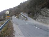 2
2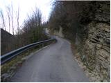 3
3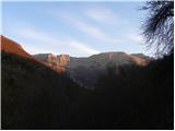 4
4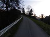 5
5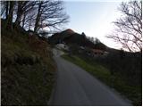 6
6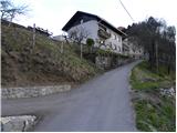 7
7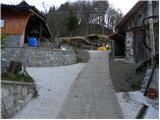 8
8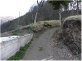 9
9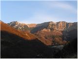 10
10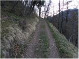 11
11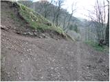 12
12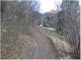 13
13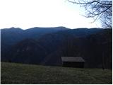 14
14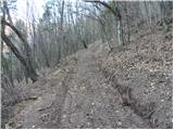 15
15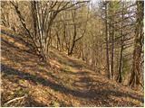 16
16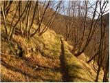 17
17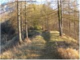 18
18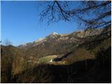 19
19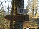 20
20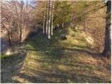 21
21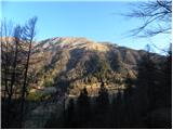 22
22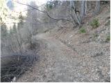 23
23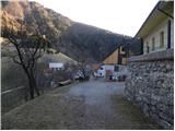 24
24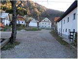 25
25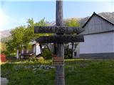 26
26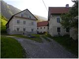 27
27 28
28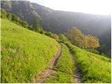 29
29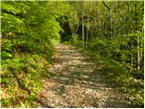 30
30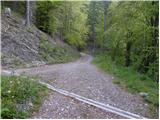 31
31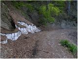 32
32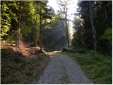 33
33 34
34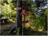 35
35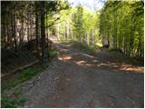 36
36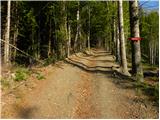 37
37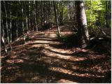 38
38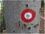 39
39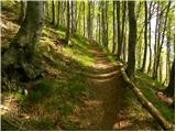 40
40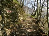 41
41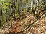 42
42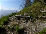 43
43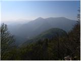 44
44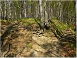 45
45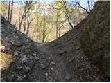 46
46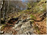 47
47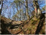 48
48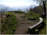 49
49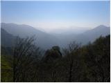 50
50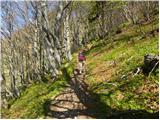 51
51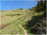 52
52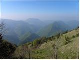 53
53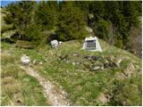 54
54 55
55 56
56 57
57 58
58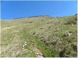 59
59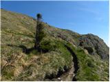 60
60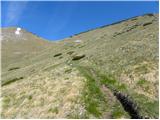 61
61 62
62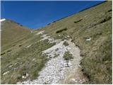 63
63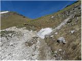 64
64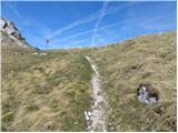 65
65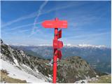 66
66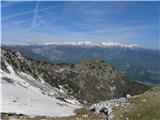 67
67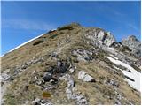 68
68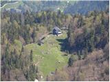 69
69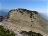 70
70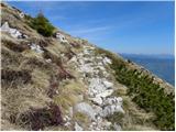 71
71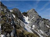 72
72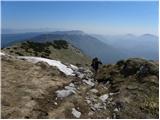 73
73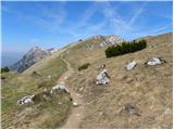 74
74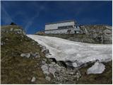 75
75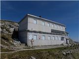 76
76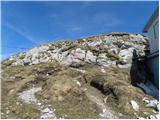 77
77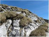 78
78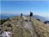 79
79 80
80
Discussion about the trail Kuk - Črna prst