Starting point: Mašun (1022 m)
| Lat/Lon: | 45,62826°N 14,36613°E |
| |
Time of walking: 4 h
Difficulty: easy marked way
Altitude difference: 774 m
Altitude difference po putu: 840 m
Map: Snežnik 1:50.000
Recommended equipment (summer):
Recommended equipment (winter): ice axe, crampons
Views: 7.090
 | 2 people like this post |
Access to the starting point:
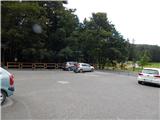
From Ilirska Bistrica or Pivka, drive to Knežak, and from there follow the signs for Mašun. It is then a few kilometres drive along a slightly winding but fully asphalted road to Mašun. Park in the asphalted parking lot near the Mašun guesthouse.
Path description:
From the parking lot, walk to the nearby crossroads, from which you continue slightly right in the direction of the European footpaths E6 and Snežnik. At first you are still walking on an asphalt road, but the asphalt soon ends and you continue on a wider dirt road, which you follow until you reach a more distinct left turn. At the bend, which takes about 20 minutes to reach, turn right onto the marked cart track, which quickly turns into a less well-trodden forest track, where you follow the European footpath markings. A little further on, you reach a dirt road, which you turn onto just as you reach a turning point, and from the turning point go slightly left and continue along cart track, which initially descends slightly, but then continues without any significant change in elevation. At a small crossroads, where the wider cart track turns slightly to the right, go straight ahead and then reach another forest road, which you follow to the left. There are a couple of small crossroads where you continue straight on, and when you reach a wider dirt road, follow it to the right in the direction of Snežnik and Sviščakov. The way forward leads us past the Škrli huts, at a marked crossroads where a road sign for Snežnik and Sviščaki points to the right and continue straight ahead and follow the markings. A few minutes further on, the signs for the European footpath E6 direct us to the right to the steeper cart track, which we climb through the forest. At a small fork in the tracks, go right, and at a slightly higher level, take the cart track slightly left onto a footpath, which soon reaches a dirt road. Follow the road briefly to the left, and then faint signs point you slightly right, where you climb over a newer clearing. When you reach the road again, follow it up over the left-hand serpentine, and at an abandoned byre, bear right onto a minor road, where you continue to follow the signs for the E6 route. At a nearby crossroads, bear left again, and when the road turns sharp left, leave it and continue right onto a waymarked path, which after a few minutes reaches the next road, and follow it to the right. There is a moderate climb on a dirt road, and when you reach a crossroads where the E6 trail branches off to the left, and the road continues on to Sviščaki, bear left onto a track following the signs for the European E6 footpath. The cart track soon turns into a steeper footpath climbing through beech woods. When you reach the initially indistinct forested ridge of Maly Snežnik, you join the path from Grda Draga, where the classic Knafelč markings also appear for the first time.
Continue in the direction of Snežnik and Malá Snežnik, this time on a slightly steeper path that leads past the memorial. Above the memorial, we get our first extensive view, which stretches across the Nanos all the way to the Alps. We continue our ascent along the path that leads us through the dwarf pines. When the steepness subsides, we reach the old trigonometric point stone, located at the top, or a few steps below the top of Mali Snežnik, from where we have a view of Veliki Snežnik, Istria, Primorska, Notranjska, etc.
From Mali Snežnik we continue along the path which descends, barely noticeably, along the unmarked eastern ridge of Mali Snežnik. The trail then passes to the western and very scenic ridge of the Big Snežnik, along which it continues mostly in a gentle to occasionally moderate ascent. A little further on, the Matetova path joins us from the right, and a little further on, the usual path from Sviščakov.
At both crossroads, continue straight ahead, then ascend the steeper slope of Veliki Snežnik, which is dangerous for slipping in the snow. After a few minutes you reach the Shelter on Veliki Snežnik, before which you continue left and climb in a few steps to the 1796 m high summit.
Description and pictures refer to the situation in September 2020.

Pictures:
 1
1 2
2 3
3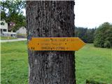 4
4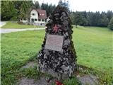 5
5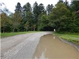 6
6 7
7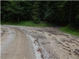 8
8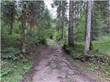 9
9 10
10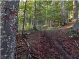 11
11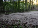 12
12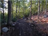 13
13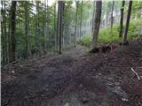 14
14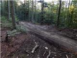 15
15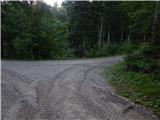 16
16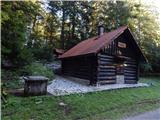 17
17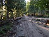 18
18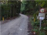 19
19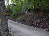 20
20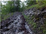 21
21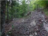 22
22 23
23 24
24 25
25 26
26 27
27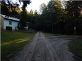 28
28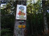 29
29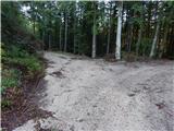 30
30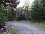 31
31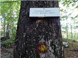 32
32 33
33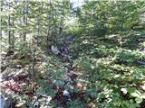 34
34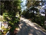 35
35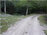 36
36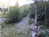 37
37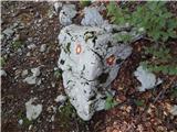 38
38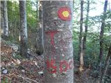 39
39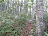 40
40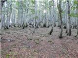 41
41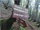 42
42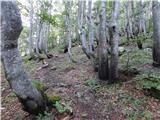 43
43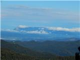 44
44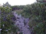 45
45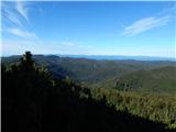 46
46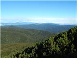 47
47 48
48 49
49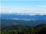 50
50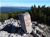 51
51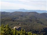 52
52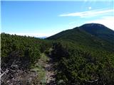 53
53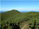 54
54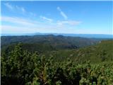 55
55 56
56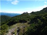 57
57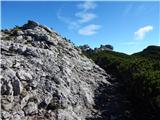 58
58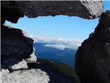 59
59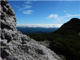 60
60 61
61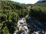 62
62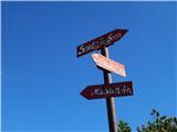 63
63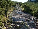 64
64 65
65 66
66 67
67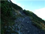 68
68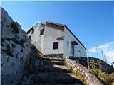 69
69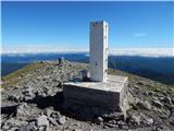 70
70 71
71
Discussion about the trail Mašun - Snežnik