Muta (Spodnja Muta) - Sveti Jernej above Muta (via Sveti Primož)
Starting point: Muta (Spodnja Muta) (330 m)
| Lat/Lon: | 46,6128°N 15,167°E |
| |
Name of path: via Sveti Primož
Time of walking: 2 h 50 min
Difficulty: easy marked way
Altitude difference: 708 m
Altitude difference po putu: 750 m
Map: Pohorje - izletniška karta 1:50.000
Recommended equipment (summer):
Recommended equipment (winter): ice axe, crampons
Views: 478
 | 1 person likes this post |
Access to the starting point:
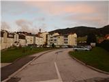
a) First drive to Dravograd, then continue driving in the direction of Maribor. After crossing the Mučka Bistrica river, turn left into Muta and park in a suitable place in the middle of Spodnja Muta. Some car parks are for residents only.
b) Drive to Maribor, then follow the signs for Dravograd. A little after Zgornja Vižinga, turn right in the direction of Muta, and park in a suitable car park in the centre of Spodnja Muta. Some car parks are for residents only.
Path description:
The route starts along the Primož Road and climbs gently north-eastwards. After a few minutes, we reach a crossroads where a mountain sign for Bricnik directs us to the left, and we quickly reach the beginning of the village of Sv. Primož nad Muto. At the next crossroads, the signs direct us to the left, and we then climb cross-country over a grassy slope. When the road turns right a little higher up, it loses its asphalt coating and transitions into the forest, where it makes a right-hand serpentine. Soon we are back out of the forest, where the path leads past the Sušek homestead, and slightly above the homestead we continue straight ahead or slightly right from the crossroads. Follow the macadam road around the turnoff to the Breznik excursion farm, and at the next crossroads, by the sign for the Janež farm, leave the road and continue along the marked path, which climbs steeply through the forest, but when it is laid, it joins the macadam road. Continue along the scenic road, from which a beautiful view opens up towards Pohorje, Uršlji gori, Peć, and in the distance you can also see the Kamniško Savinjske Alps. Pass the Pentat farm buildings on the left, then reach the asphalt road, which you just cross and continue towards Bricnik (the direction sign for Zavetišče Onuk - Glavar points to the right, but it is better to continue towards Bricnik for this destination as well). Then climb through the forest, and when you reach the Žaucer farmhouse, pass it on the right. There is a few minutes' cross-climb to the right and a left serpentine, after which the asphalt road and the marked crossroads are reached again.
From the crossroads, continue left (straight up Bricnik, right Shelter Glavar) and after a few minutes' walk along the asphalt road you will reach the Church of St. Primož and Felicijan, which offers a beautiful view.
Continue towards St. Jernej, where the route follows a dirt road, heading north, along the western slopes of Bricnik. Leave the road, which offers occasional views to the west, at a left-hand bend and continue straight ahead on the wide cart track. From cart track go left after a few 10 paces and cross the Vud stream. On the other side of the stream, start climbing steeply up the marked cart track, and once out of the woods you will reach a hunting observation post at the edge of the pasture, where the cart track ends. Cross the pasture, where there is no track, and continue slightly left, crossing the road to the nearby road, which you reach at the Ižek farm.
The road, which initially offers a beautiful view towards Uršlji gora, is followed to the right and then turns into a forest, through which it climbs for some time. Once out of the forest, there are a few minutes of moderate climbing before you reach the Primož homestead, where there is a registration box next to a mighty linden tree.
From the registration box, continue in the direction of the Bistriški ditch and Pernice and follow the road, which will take you up to the church of St. Jernej in about 5 minutes.
Muta - St. Primož 1:20, Bricnik - St. Jernej 1:30.
Description and pictures refer to the situation in 2018 (October).

Pictures:
 1
1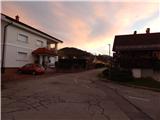 2
2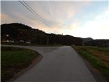 3
3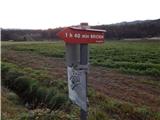 4
4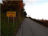 5
5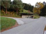 6
6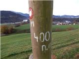 7
7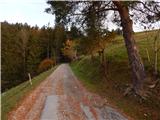 8
8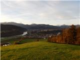 9
9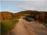 10
10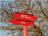 11
11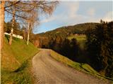 12
12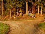 13
13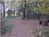 14
14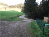 15
15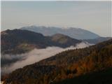 16
16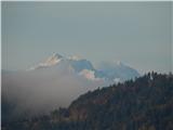 17
17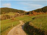 18
18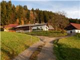 19
19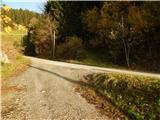 20
20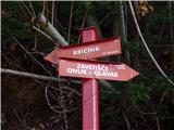 21
21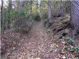 22
22 23
23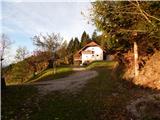 24
24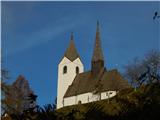 25
25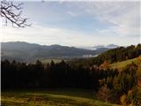 26
26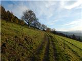 27
27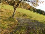 28
28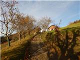 29
29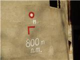 30
30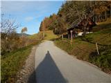 31
31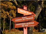 32
32 33
33 34
34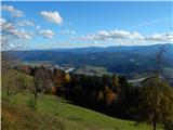 35
35 36
36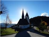 37
37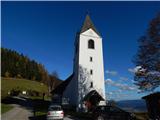 38
38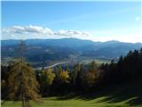 39
39 40
40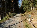 41
41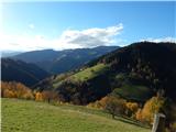 42
42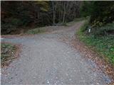 43
43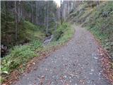 44
44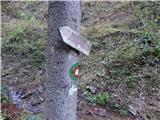 45
45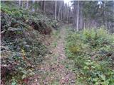 46
46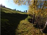 47
47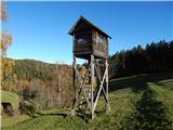 48
48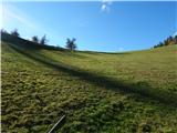 49
49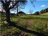 50
50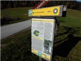 51
51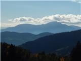 52
52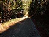 53
53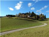 54
54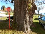 55
55 56
56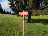 57
57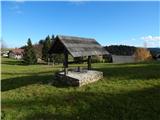 58
58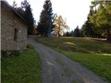 59
59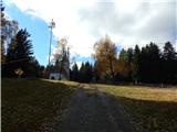 60
60 61
61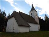 62
62
Discussion about the trail Muta (Spodnja Muta) - Sveti Jernej above Muta (via Sveti Primož)