Mužac / Moggio di Sopra - Monticello (path 420, 421 (over La Forcia and on military mule track))
Starting point: Mužac / Moggio di Sopra (373 m)
Name of path: path 420, 421 (over La Forcia and on military mule track)
Time of walking: 3 h 30 min
Difficulty: easy marked way
Altitude difference: 989 m
Altitude difference po putu: 990 m
Map: Alpi Carniche Orientali Canal del Ferro; Foglio 18
Recommended equipment (summer):
Recommended equipment (winter): ice axe, crampons
Views: 932
 | 1 person likes this post |
Access to the starting point:
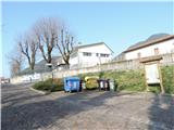
a) From Kranjska Gora, past Trbiž / Tarvisio, and along the old road towards Udine until the Moggio turn-off on the right. Then left and right again to Moggio di Sopra. Then along the main road via Abbazia until the turn-off for via Cjavecic, where you park in a parking lot.
b) From Nova Gorica or Sezana take the Italian motorway to Palmanova, here take the route Trbiz / Tarvisio to the Carnia exit, then follow the old main road towards Trbiz to the left turn-off for Moggio, then follow description a.
Path description:
From the parking lot, walk back along Via Abbazia for a while, then right into Via don Domenico Tessitori. Follow it all the way to the last house (20 minutes to get here), where you will see the first sign and 420 marker to the right of it, the trail goes gently past a garden with fruit trees at first, then you come to the edge of the forest, where the trail goes mostly straight without climbing under the slope to the right above it. You then come to an old bridge which you cross over the Rio Travans. The path goes left along the stream, then turns slightly away into a pine forest, mostly flat, crosses a ravine, then starts to climb steeply. After quite a lot of steep switchbacks, you reach the crossroads of la Forcia with the chapel (another 1 h 30 min to get here), where you turn right onto 421. Continue through the pine forest, partly on switchbacks, quite steep at the beginning, then the steepness increases, with a view of the Sernio and the summit of Monticello in between. After a bit of a viewpoint, the trail turns right, climbs slightly, then left again higher up, and then we reach a junction where the 421 trail branches off to the right and we turn left towards the summit (it's a good hour from the chapel to get here). After about 5 minutes we reach a junction, continue left on the military mulatier, and to the right the trail goes along the Creste delle Betulle ridge. The mulatiera is still clearly visible, although the ravages of time have somewhat eroded it, but a solid path leads us nicely in the keys to the base of the summit, where there is a cave at one of the last bends (half an hour to get here), and in another 5 minutes we reach the summit of Monticello from the north side.

Pictures:
 1
1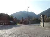 2
2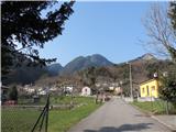 3
3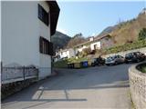 4
4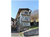 5
5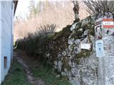 6
6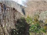 7
7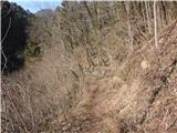 8
8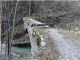 9
9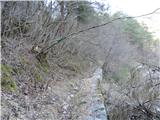 10
10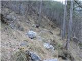 11
11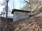 12
12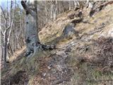 13
13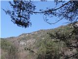 14
14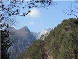 15
15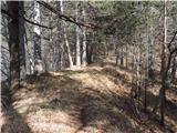 16
16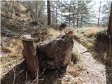 17
17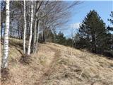 18
18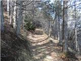 19
19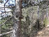 20
20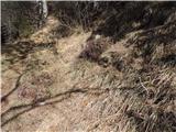 21
21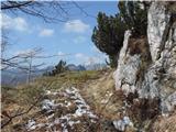 22
22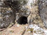 23
23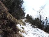 24
24 25
25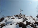 26
26
Discussion about the trail Mužac / Moggio di Sopra - Monticello (path 420, 421 (over La Forcia and on military mule track))