Starting point: Podgora (438 m)
| Lat/Lon: | 45,828°N 14,7014°E |
| |
Time of walking: 1 h
Difficulty: easy marked way
Altitude difference: 345 m
Altitude difference po putu: 375 m
Map:
Recommended equipment (summer):
Recommended equipment (winter): crampons
Views: 4.524
 | 2 people like this post |
Access to the starting point:
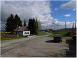
a) From the Ljubljana - Novo Mesto motorway, take the Grosuplje exit (from the Ljubljana direction, you can also take the Cikava exit), and then continue driving towards the centre of Grosuplje. From Grosuplje, drive towards Veliko Mlačevo, Mala and Velika Račna and Vidmo. From Veliko Mlačevo, turn right (straight ahead to Lobček and Luce), then continue towards Vidmo. At Vidmo, the road from Rašice joins, and we follow it to the left (south) to the road branch to the village of Podgora, which is located at the edge of the Dobrepolje field. The village is reached after a few 100 metres of further driving, and our route starts near the church. Park at the beginning of the village in a suitable place along the road so as not to disturb the work of the inhabitants.
b) From the road Ljubljana - Kočevje at Rašica turn left (from Kočevje turn right) in the direction of Ponikev, Predstruge and Vidmo. When we reach Predstruge we reach the Dobrepolje valley, and we follow it through Videm to the road branch to Podgora. We reach the village after a few 100 metres of further driving, and our route starts near the church. We park at the beginning of the village in a convenient place along the road, so as not to disturb the work of the locals.
Path description:
From where we parked, we first walk to the church, and from there we continue along the initially wide cart track, which turns into a forest. Climb cart track for a few minutes, then an arrow on a tree points you left to the old and steeper logging trail. Follow the markings carefully as you climb, and the path returns to the wider cart track higher up. A little further on, cross a dirt road, and just a few metres higher, reach another road, which is also crossed (Grmada on the left).
Continue ascending through the forest on a well-marked path, which becomes higher and turns to the right. There is a short downhill, then the path turns slightly left and climbs moderately to where the mountain path from Grmada joins us on the left. From the crossroads, continue along the mountain path for a short distance, then reach a forest road, which you follow to the right and which leads you up to the nearby Kamen vrh hut.
From the hut, continue to the right and follow a slightly steeper path to the top, 2 minutes away, where a beautiful view opens up.

Pictures:
 1
1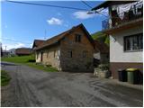 2
2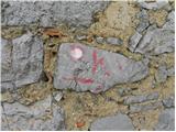 3
3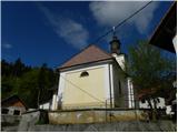 4
4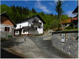 5
5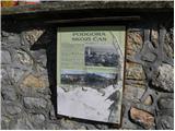 6
6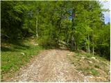 7
7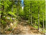 8
8 9
9 10
10 11
11 12
12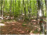 13
13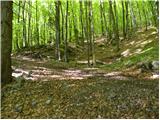 14
14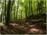 15
15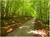 16
16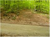 17
17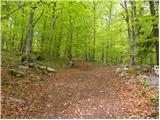 18
18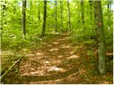 19
19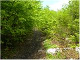 20
20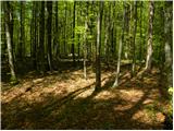 21
21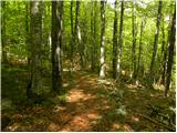 22
22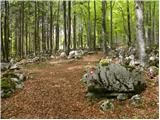 23
23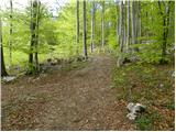 24
24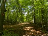 25
25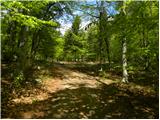 26
26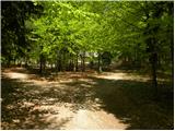 27
27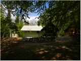 28
28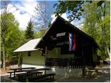 29
29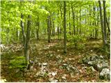 30
30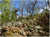 31
31 32
32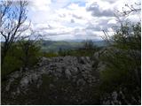 33
33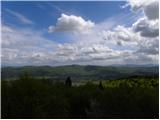 34
34 35
35
Discussion about the trail Podgora - Kamen vrh