Podljubelj - Dom na Kofcah (via Kal and past the chapel)
Starting point: Podljubelj (658 m)
| Lat/Lon: | 46,3979°N 14,2876°E |
| |
Name of path: via Kal and past the chapel
Time of walking: 2 h 10 min
Difficulty: easy marked way
Altitude difference: 830 m
Altitude difference po putu: 830 m
Map: Karavanke - osrednji del 1:50.000
Recommended equipment (summer):
Recommended equipment (winter): ice axe, crampons
Views: 15.597
 | 1 person likes this post |
Access to the starting point:
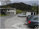
From the motorway Ljubljana - Jesenice, take the exit Podtabor (Tržič, Ljubelj), then continue to Ljubelj. After about 6 km from the petrol station at Bistrica pri Tržiču, we leave the main road, as the signs for Podljubelj direct us to the right onto the local road. Just a little further on, we arrive at the next crossroads, where we continue right and then after a few 10 m we park in a suitable place in the middle of the village.
Path description:
From the starting point, walk to the primary school in Podljubelj, and then turn left at the crossroads in the direction of Kala and Kofc. The path initially follows a dirt road which climbs moderately along the Jezernica stream. A few minutes higher up, the road makes a long right turn, but leave it and continue slightly left along the wide and marked cart track. Cart track or the worse road ends a little higher up at a dilapidated house, and we continue on the worse cart track, which turns into a forest. We continue to climb up the right side of the stream for a short distance, then cross it and take the left side. A little further on, you come to another small stream, along which you climb up to a nearby farmhouse. Go around the house on the right and then immediately after it to the left. A few metres higher, signs direct you to the right on a grassy slope, along the edge of which you climb up to a nearby wooden hut. Here the path turns slightly left and crosses a pasture fence a little further on. The path, which is less visible for some time, continues straight up across the pasture, then as you leave the pasture it passes into the woods and crosses cart track a little higher up. Continue straight on past a large rock and continue climbing towards Kala. The path continues along a small valley and occasionally climbs steeper. At a higher altitude, you will reach cart track, which leads quickly out of the forest and up to the nearby Shelter on the Kalo.
From the shelter, continue along the dirt road and quickly reach a marked crossroads where the "direct" route to Dom na Kofcah branches off to the left, and we continue straight ahead and continue along the dirt road. Higher up (just past the quarry), leave the road as the markings direct you slightly left onto a footpath, which first climbs steeply and then cross-climbs to the right. A little further on you reach another forest road, which you only cross as the signs for Dom na Kofcah - past the chapel, direct you to a wide cart track. After a few metres of ascent, continue along the right-hand cart track, which quickly leads to the Mrzlje studenec. After the wells, the path goes through the woods and then leads to a clearing, at the edge of which stands a larger chapel. From the chapel, continue left into the woods, through which you climb to a nearby pasture fence. After crossing the pasture fence, the path is partly lost, but if you continue along the slope slightly to the left, you will reach the mountain home at Kofce without much difficulty.

We can extend the trip to the following destinations: Planina Spodnja Dolga njiva,
Tegoška planina,
Planina Pungrat,
Planina Ilovica,
Zavetišče na planini Šija,
Planina Zgornja Dolga njiva,
Mala Košuta,
Kofce gora,
Toplar,
Malo Kladivo,
Veliki vrh (Košuta) (2 h 5 min),
Veliko Kladivo
Pictures:
 1
1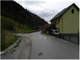 2
2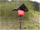 3
3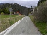 4
4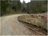 5
5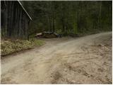 6
6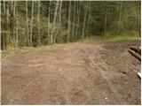 7
7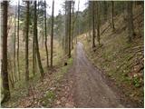 8
8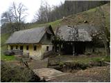 9
9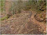 10
10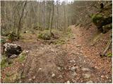 11
11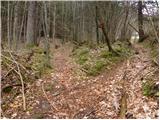 12
12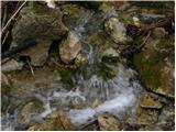 13
13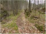 14
14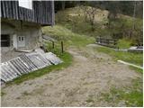 15
15 16
16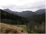 17
17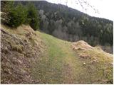 18
18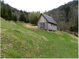 19
19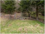 20
20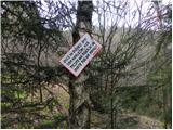 21
21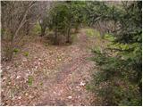 22
22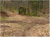 23
23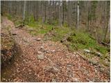 24
24 25
25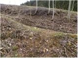 26
26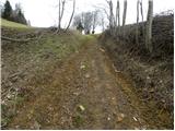 27
27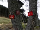 28
28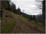 29
29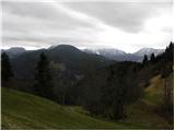 30
30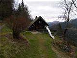 31
31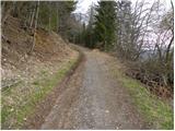 32
32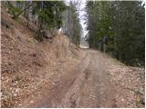 33
33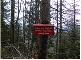 34
34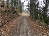 35
35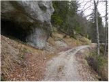 36
36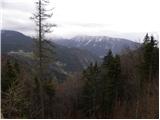 37
37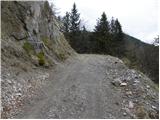 38
38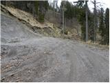 39
39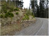 40
40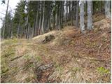 41
41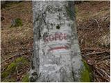 42
42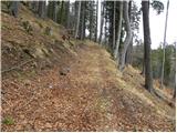 43
43 44
44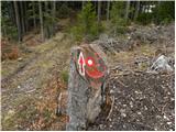 45
45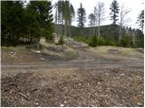 46
46 47
47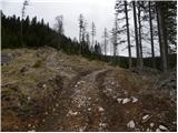 48
48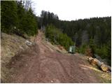 49
49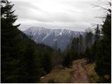 50
50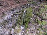 51
51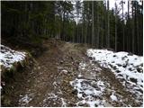 52
52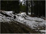 53
53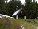 54
54 55
55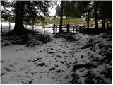 56
56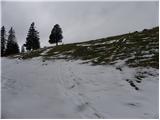 57
57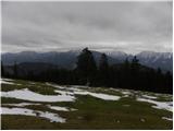 58
58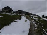 59
59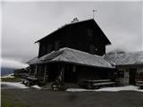 60
60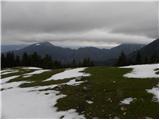 61
61
Discussion about the trail Podljubelj - Dom na Kofcah (via Kal and past the chapel)