Podmeja - Črni vrh (Čemšeniška planina)
Starting point: Podmeja (724 m)
| Lat/Lon: | 46,1861°N 15,0618°E |
| |
Time of walking: 3 h 30 min
Difficulty: easy marked way
Altitude difference: 480 m
Altitude difference po putu: 715 m
Map: Posavsko hribovje - zahodni del 1:50.000
Recommended equipment (summer):
Recommended equipment (winter): ice axe, crampons
Views: 4.753
 | 1 person likes this post |
Access to the starting point:
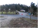
a) From the motorway Ljubljana - Celje, take the Šempeter exit and continue towards Prebold and later Trbovlje. Follow the serpentine road to the Podmeja Pass, where you will park in the parking lot near the hunting lodge.
b) From Zasavje, first drive to Trbovlje, then continue to Prebold. When you reach the Podmeja Pass, park in the parking lot near the hunting lodge.
Path description:
From the Podmeja pass, head west on the worse macadam road towards Svete mountain pasture. After some 10 steps leave the road and continue along cart track, which climbs gently through the forest. Higher up, cart track becomes completely flat and gradually changes from an undefined ridge to an axial side. Here the marked cart track turns sharp right (poorly marked) and starts to descend more visibly. At the end of the descent, you come to a wide cart track, which you follow in a few steps to an asphalted road, which you follow to the right. Next, looking towards Kum and climbing past a few houses, ascend to a marked crossroads, where you continue towards "Sveta planina - footpath" (to the right Sveta planina access by car).
Continue along a winding dirt road for some time, then reach a small hamlet where you turn sharp right and then immediately after the house left onto the ascending cart track. Cart track first leads us through grassy hay meadows, even briefly descends a little higher up and then leads us into a dense forest, where it starts to climb steeply. Higher up, the path turns to the left and, after some 10 steps of further walking, leads us to a marker next to which stands a lonely house. Behind the house the path widens again and leads us past a water trough to the vast grassy slopes north of Svete mountain pasture.
Here the path to Javor branches off to the right, and we continue along the road to a nearby crossroads. At the crossroads, continue right (left Sveta planina for 5 minutes) and follow the road as it descends across the initially still scenic hillside. The road then turns into a forest and leads to a crossroads where you continue right in the route Planinski dom Vrhe. Continue along the left-hand side, crossing the slopes of Javor, and then reach a crossroads, in the middle of which is the NOB (National Liberation Front) monument. Continue straight ahead here, passing the Church of St Lenart, and within a few minutes you will reach Planinski dom Vrhe.
From the Mountain Home Vrhe, take the minor road towards Čemšeniška mountain pasture. Walk along the road for a short distance, then turn right onto the steeper cart track, which gradually turns into a forest. Higher up, we also leave the wide cart track, as the signs for Čemšeniška mountain pasture direct us slightly right on a path that almost completely lays down. There is a few minutes of crossing, and then the path turns slightly right and leads us out of the forest onto a scenic slope. Here the path turns left and begins to descend over a moderately steep grassy slope. At a lower level you reach the Gunet homestead, where you also get on the road.
When you get on the road, turn right and after a few steps you will arrive at the next crossroads.
Continue straight ahead and follow the road, passing Gunet's Head (926 m) on the left. On the other side of the summit we reach a lookout saddle, and the road turns to the left here, and we walk along it for only 100 m, then the signs for Čemšeniška mountain pasture direct us sharp right to cart track, which first crosses the lane of a forest, and then leads us to an overlook slope, from which we have a beautiful view towards Krvavica. Here, the cart track, which continues to climb for some time, turns to the left and then gradually turns into a slightly steeper footpath. Higher up, the footpath splits into two parts, and we have the choice of continuing along the rather steep and less well maintained marked mountain path, or along the slightly less steep parallel 'Lojzova cesta', which is newly surfaced and marked with light blue dots. Higher up, the two paths merge, and the path gradually flattens out and leads us to the edge of a steep ridge. The path continues along the right-hand side of the ridge, which then flattens out and descends to a crossroads at a registration box.
Continue straight on here (right down Vransko) and then at the next crossroads, which is located a few steps further to the right (straight down Hut na Čemšeniška mountain pasture). The way ahead takes you past the site of the old hut and past the hut of the radio amateurs. The summit, which can be reached easily, is located just a few steps above the above-mentioned amateur radio hut.

Pictures:
 1
1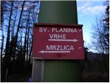 2
2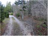 3
3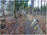 4
4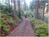 5
5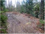 6
6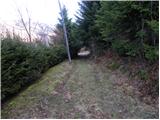 7
7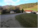 8
8 9
9 10
10 11
11 12
12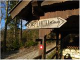 13
13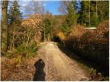 14
14 15
15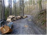 16
16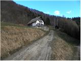 17
17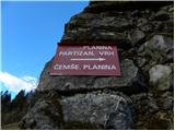 18
18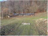 19
19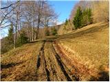 20
20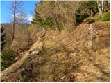 21
21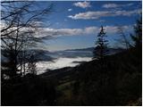 22
22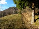 23
23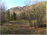 24
24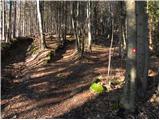 25
25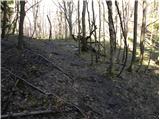 26
26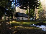 27
27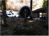 28
28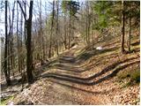 29
29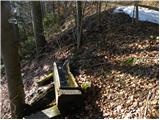 30
30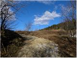 31
31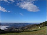 32
32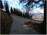 33
33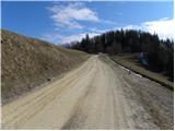 34
34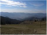 35
35 36
36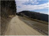 37
37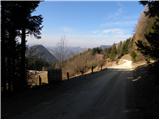 38
38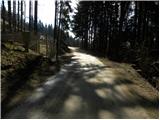 39
39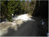 40
40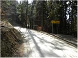 41
41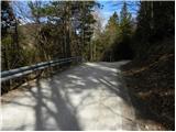 42
42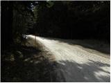 43
43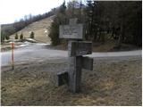 44
44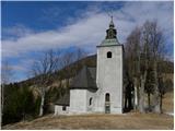 45
45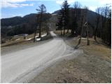 46
46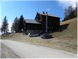 47
47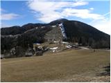 48
48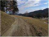 49
49 50
50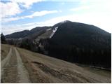 51
51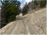 52
52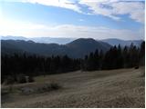 53
53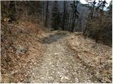 54
54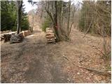 55
55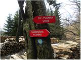 56
56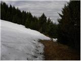 57
57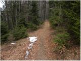 58
58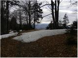 59
59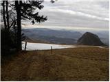 60
60 61
61 62
62 63
63 64
64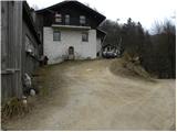 65
65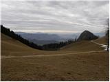 66
66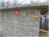 67
67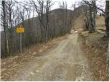 68
68 69
69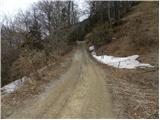 70
70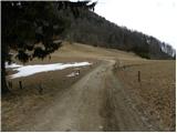 71
71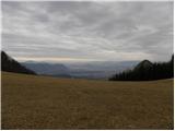 72
72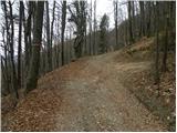 73
73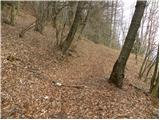 74
74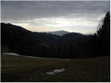 75
75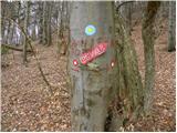 76
76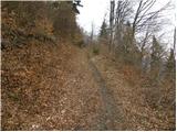 77
77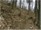 78
78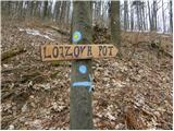 79
79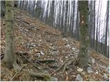 80
80 81
81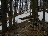 82
82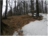 83
83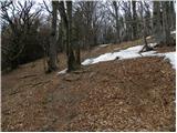 84
84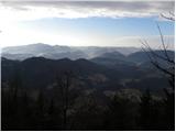 85
85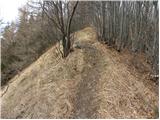 86
86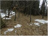 87
87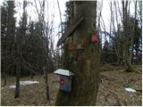 88
88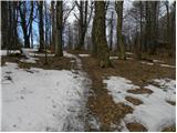 89
89 90
90 91
91
Discussion about the trail Podmeja - Črni vrh (Čemšeniška planina)