Podnar / Bodenbauer - Ovčji vrh (Kozjak) / Geissberg (Kosiak) (via Karweg and southeast path)
Starting point: Podnar / Bodenbauer (1052 m)
| Lat/Lon: | 46,4678°N 14,2152°E |
| |
Name of path: via Karweg and southeast path
Time of walking: 2 h 45 min
Difficulty: easy unmarked way
Altitude difference: 972 m
Altitude difference po putu: 1030 m
Map: Karavanke - osrednji del 1:50.000
Recommended equipment (summer):
Recommended equipment (winter): ice axe, crampons
Views: 2.468
 | 2 people like this post |
Access to the starting point:
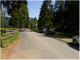
We drive to the Ljubelj border crossing and on to the Austrian side. Shortly after, when you see a small church on the left side of the road, the road to the village of Žabnica / Bodental branches off to the left. At the crossroads after Slovenji Plajberk / Windisch Bleiberg turn left towards Žabnica / Bodental. In Žabnica / Bodental you will reach the mountain signs for Celovška koča / Klagenfurter Hütte to the left and right. Turn left and follow the road to the end of the asphalt, where you will park in the parking lot near the pasture fences.
Path description:
From Podnart near which you park on the widened road, take the macadam forest road closed to public traffic in the direction of Mlake / Märchenwiese and Klagenfurter Hutte / Klagenfurter Hütte. The road, which begins to climb gently, soon leads us to the first crossroads, where a path branches off to the right towards the farm Vgriz / Ogrisbauer, and we continue straight on in the direction of the Klagenfurt hut. The road goes a little further into the forest and splits into two parts. Take the marked road to the left, and after about 30 minutes' walk from the starting point, it leads to Mlaka (a flat, spacious and scenic meadow).
Here the road turns slightly to the right, and we continue straight ahead on a parallel, but slightly less visible, marked path that continues across the meadow. On the other side of the meadow, the path returns to the woods and gradually begins to climb moderately. After a short climb, we reach a small crossroads where a touring-skiing path branches off to the left, and we continue straight ahead along a small torrential gully. A few 10 steps higher, we leave the ravine, as the markings direct us to the right (straight along the ravine at first, but higher up, through vast scree fields, a fainter, partly pathless path leads towards the Belščica saddle) to a path that joins the forest road only a few metres higher. Once on the road, follow it to the left, and we follow it only as far as the first right-hand bend. At the end of the bend, we leave the marked trail that initially follows the road and take a sharp left onto an unmarked but well-traced path. After a few metres, the track turns slightly to the right and first starts to climb cross-country through the forest. Higher up, the track starts to climb steeply through the forest, which thins out after a while. A little further on, the forest is gradually replaced by lane of dwarf pines and bushes, and the increasingly scenic path, which offers beautiful views of the Palec walls, Pautz, Vertatscha and the nearby Bielschitza, leads us to a place where we return to the marked path (the marked path is a little longer and technically more difficult, but it is well marked). When you reach the marked path, you first climb up it to a small spring, and from there to the nearby crossroads on the Vrata / Matschatcher Sattel pass. At the above-mentioned pass, a less well-trodden unmarked path branches off to the left, leading "directly" to the Belščica saddle, while we continue straight ahead and start descending towards the Celovška hut. At the part of the trail where the path widens to cart track, a marked trail branches off to the right (to Ovčji vrh), and the trail continues straight ahead towards Celovška hut.
From the crossroads, turn sharp right and start climbing steeply through dwarf pines. From the relatively steep path, we continue to get better and better views of Vertatscha, Bielschitza, Celovška špica, Stol. . . Higher up, the path is completely laid for a while, and the dwarf pines starts to thin out. A moderate climb of a few minutes follows up the slope, which is adorned with alpine flowers in the summer months and, in all seasons, if there is no fog, with exceptional views of the northern walls of the Karavanke Mountains. After a few minutes, the path lays down again, and we see a vast grassy plain ahead of us, at the end of which stands a larger cross, and this one at the very top. A few minutes of pleasant walking follow, and a few steps below the summit, the south-westerly path from the Celovška hut joins it. When you reach the top, you are rewarded with a view to the north, which on fine days reaches all the way to the High and Low Tur mountains.

Pictures:
 1
1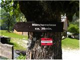 2
2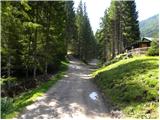 3
3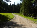 4
4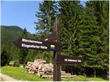 5
5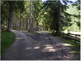 6
6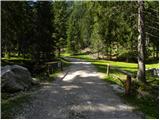 7
7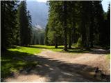 8
8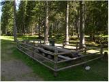 9
9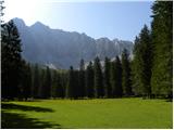 10
10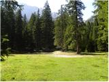 11
11 12
12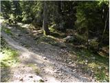 13
13 14
14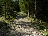 15
15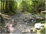 16
16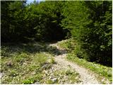 17
17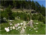 18
18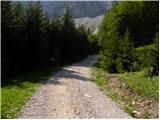 19
19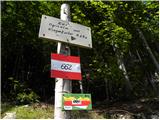 20
20 21
21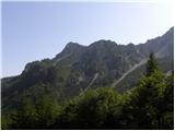 22
22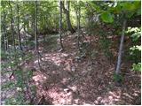 23
23 24
24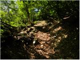 25
25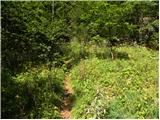 26
26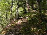 27
27 28
28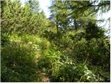 29
29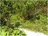 30
30 31
31 32
32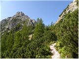 33
33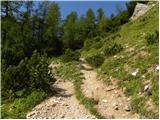 34
34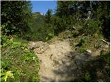 35
35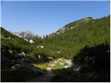 36
36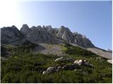 37
37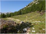 38
38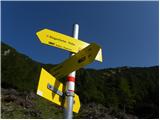 39
39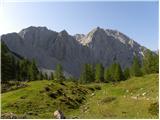 40
40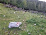 41
41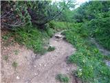 42
42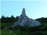 43
43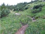 44
44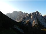 45
45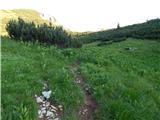 46
46 47
47 48
48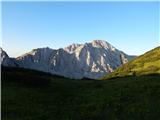 49
49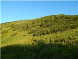 50
50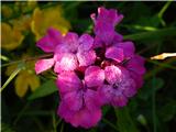 51
51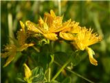 52
52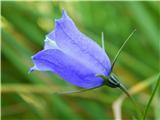 53
53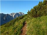 54
54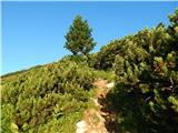 55
55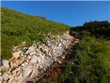 56
56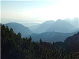 57
57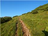 58
58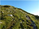 59
59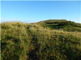 60
60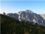 61
61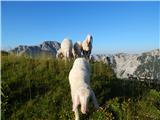 62
62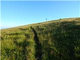 63
63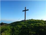 64
64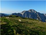 65
65 66
66
Discussion about the trail Podnar / Bodenbauer - Ovčji vrh (Kozjak) / Geissberg (Kosiak) (via Karweg and southeast path)