Poljšica pri Gorjah (Zatrata) - Hotunjski vrh (by road)
Starting point: Poljšica pri Gorjah (Zatrata) (660 m)
| Lat/Lon: | 46,3707°N 14,0697°E |
| |
Name of path: by road
Time of walking: 2 h
Difficulty: easy unmarked way
Altitude difference: 447 m
Altitude difference po putu: 485 m
Map: TNP 1:50.000
Recommended equipment (summer):
Recommended equipment (winter):
Views: 1.250
 | 1 person likes this post |
Access to the starting point:
a) Take the Bled, then continue driving in the direction of Pokljuka. When you arrive at Zgornje Gorje, turn left at the crossroads by the church in the direction of Poljšice. Continue along the narrow road past the church, then turn right at the nearby crossroads after the chapel. Just a little further on, at the next crossroads, go left in the direction of Poljšice, and when you arrive in the village, go right at the first crossroads, and then left after 10 metres in the direction of the hamlet of Zatrata. At the beginning of the hamlet, the Riklijeva path branches off to the right, we continue along the asphalt road, and after a few metres we reach the next crossroads, where the described path begins. Park in a suitable place somewhere nearby.
b) Leave the Gorenjska motorway at exit Lipce, then follow the signs for Kočna and later Spodnje Gorje. At Spodnje Gorje join the road from Bled, and we continue in the direction of Pokljuka. When you reach Zgornje Gorje, turn left at the crossroads by the church in the direction of Poljšice. Continue along the narrow road past the church, then turn right at the nearby crossroads after the chapel. Just a little further on, at the next crossroads, go left in the direction of Poljšice, and when you arrive in the village, go right at the first crossroads, and then left after 10 metres in the direction of the hamlet of Zatrata. At the beginning of the hamlet, the Riklijeva path branches off to the right, we continue along the asphalt road, and after a few metres we reach the next crossroads, where the described path begins. Park in a suitable place somewhere nearby.
Path description:
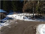
From the starting point, follow the road southwards, which first opens up a beautiful view towards Stolo, then the road turns into a forest. Through the forest, there is first a moderate climb, followed by a short descent to where you join the road from Bled.
Follow the road to the right, and the road climbs mainly gently to moderately at times. During the ascent, the marked path from Zaka joins us first from the left, and higher up, behind the trough below Križi, the footpath from Poljšice pri Gorje joins us from the right.
Further on, as we walk along the road, we are also accompanied by Knafelč's markings. The road, which is quite winding and follows a small valley for a while, turns right higher up and becomes steeper and more and more like a wide cart track. During the ascent on the worse road, we get a passing glimpse of some views in the direction of Galetovec, but when the path returns to the dense forest, it also splits.
Continue straight along the wider marked path (the worse road) (on the path to the right, along which you can see some faded markings, it is possible to get to Hotunjski vrh), along which you soon see the signs that we have arrived at Rčitno, but at first we are still in the forest. The forest soon ends, and then cart track leads us along the bottom of the vast mountain pasture, and we pass several individual huts and climb to the upper part of mountain pasture, where we get a nice view.
From the upper part of mountain pasture, continue to the right along the marked path in the direction of the Sport Hotel on Pokljuka (straight ahead Bohinjska Bela). The path continues to climb through the forest, and after a few minutes it leads to a macadam road, which you follow to the right. A little further on, the marked path to Pokljuka continues from the road to the left, and we continue straight ahead and follow the macadam road, which is no longer marked. For some time we walk along a relatively folded road, and then an unmarked footpath from Poljšice pri Gorjah joins us from the right, on a small unmarked pass.
The road continues to climb gently for a few minutes, but when the road starts to descend, we leave it (leave the road at the part where it starts to descend, or a minute further on at the ruins of the former Posavc homestead) and continue left into the woods, where after a minute or two we reach the former ski slope of the Zatrnik ski resort. The ascent continues along the former ski slope, which turns left, and then, as the views get better and better, you reach the top station of the disused ski lift, from where you are only a short 10 step walk along the ridge to the top of Hotunjski vrh.
Description and pictures refer to 2017 (January).

Pictures:
 1
1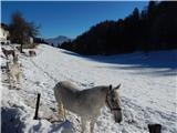 2
2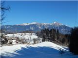 3
3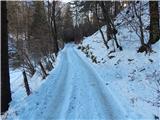 4
4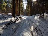 5
5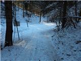 6
6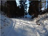 7
7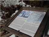 8
8 9
9 10
10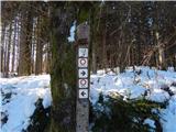 11
11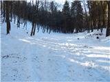 12
12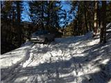 13
13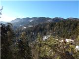 14
14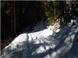 15
15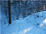 16
16 17
17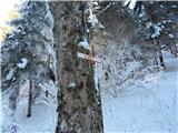 18
18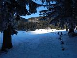 19
19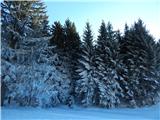 20
20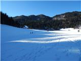 21
21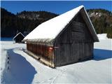 22
22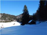 23
23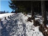 24
24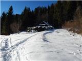 25
25 26
26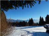 27
27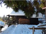 28
28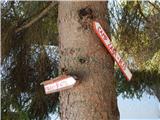 29
29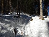 30
30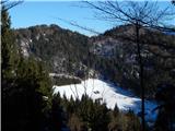 31
31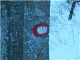 32
32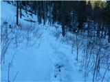 33
33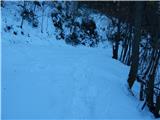 34
34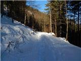 35
35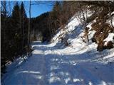 36
36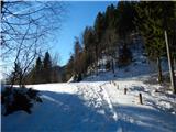 37
37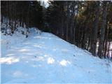 38
38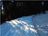 39
39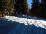 40
40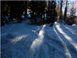 41
41 42
42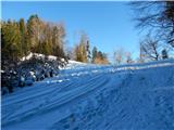 43
43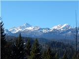 44
44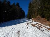 45
45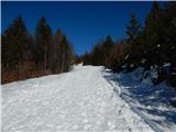 46
46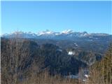 47
47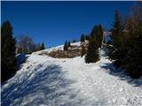 48
48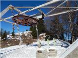 49
49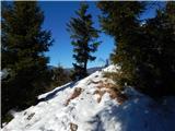 50
50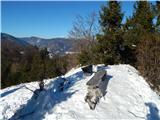 51
51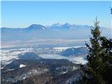 52
52 53
53
Discussion about the trail Poljšica pri Gorjah (Zatrata) - Hotunjski vrh (by road)