Rifugio Tolazzi - Pic Chiadin
Starting point: Rifugio Tolazzi (1350 m)
| Lat/Lon: | 46,59199°N 12,8678°E |
| |
Time of walking: 2 h 25 min
Difficulty: easy marked way, easy pathless terrain
Altitude difference: 952 m
Altitude difference po putu: 952 m
Map:
Recommended equipment (summer):
Recommended equipment (winter): ice axe, crampons
Views: 1.190
 | 2 people like this post |
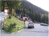
Access to the starting point:
From Trbiz/Tarvisio, take the motorway to Udine/Vidmo. Leave the motorway at the Tolmezzo exit. At Tolmezzo, you also leave the road leading to the Passo di Croce Carnico / Plockenpass and head towards Villa Santina. In Villa Santina, at the roundabout, go straight ahead following the signs for Ovaro, Sappada. Follow this road until Forni Avoltri, where turn right after the Collina signs. Follow the asphalted road until you reach the parking lot in front of the Tolazzi hut.
Path description:
From the parking lot at the Tolazzi hut, continue along the road past the Rifugio Marinelli signs. After a short climb, you will reach a crossroads where the path to the Lambertenghi-Romanin hut branches off to the left. We continue along the mountain road, then at a sharp left turn leave the road and follow the cart track, which soon becomes a track. Then climb through the forest along the Morareto stream and rejoin the mountain road, following it as far as Casera Morareet, where there is also a marked crossroads. Here, leave the mountain road and head right (east) and start climbing up the grassy slopes with a good view of the nearby peaks. The path then turns slightly to the left and there is a steeper climb towards the Marinelli hut.
At the hut, head north-west, following the Monte Coglians markers, and start climbing over slightly steeper grassy slopes. The path quickly leads to an unmarked crossroads where the Sentiero Spinotti path branches off to the left towards the Lambertenghi-Romanin hut. Our route here turns right and climbs up to a grassy ridge. The path then passes slightly left of the ridge again and rejoins it below the summit of Pic Chiadin. The summit is just a few metres off the path.

Pictures:
 1
1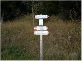 2
2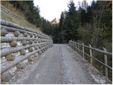 3
3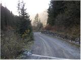 4
4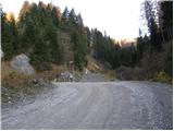 5
5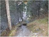 6
6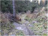 7
7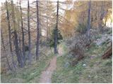 8
8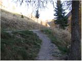 9
9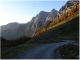 10
10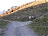 11
11 12
12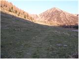 13
13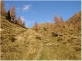 14
14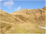 15
15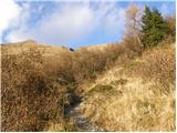 16
16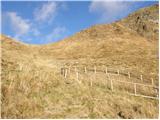 17
17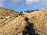 18
18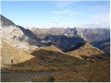 19
19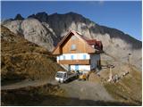 20
20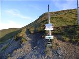 21
21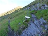 22
22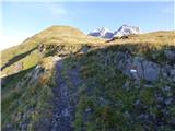 23
23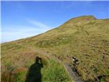 24
24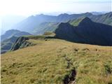 25
25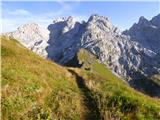 26
26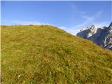 27
27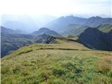 28
28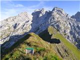 29
29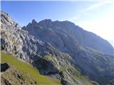 30
30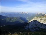 31
31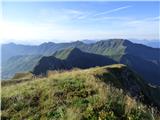 32
32
Discussion about the trail Rifugio Tolazzi - Pic Chiadin