Starting point: Rodine (544 m)
| Lat/Lon: | 46,3825°N 14,1748°E |
| |
Time of walking: 55 min
Difficulty: easy unmarked way
Altitude difference: 323 m
Altitude difference po putu: 325 m
Map: Karavanke - osrednji del 1:50.000
Recommended equipment (summer):
Recommended equipment (winter): crampons
Views: 2.710
 | 1 person likes this post |
Access to the starting point:
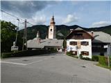
Leave the Gorenjska motorway at exit Lesce, then take the exit towards Radovljica from the roundabout. From the next roundabout, take the Hraše exit, then drive through the underpass under the motorway, arriving in Hraše. Continue straight on through Hraše, following the main road at the junctions. After Hraše, the road leads under a high-voltage power line, and then from the next crossroads you continue straight on. You follow a narrower asphalt road, and then arrive at Rodine and a little further on to the crossroads by the birthplace of Janez Jalna, where the footpath described above begins. There are no parking spaces at the starting point.
The starting point can also be reached from Žirovnica or Begunj in Gorenjska.
Path description:
The path initially leads us past Jalna's birth house and the Church of St. Clement, and we follow the road at the crossroads in the direction of the Žirovnica Cultural Heritage Trail. Higher up, the road leads past a children's playground and an ecological island, and then we reach the upper edge of the village, where we cross a metal pasture fence. On the other side of the fence, follow cart track, which leads you across the pasture and, at the edge of the forest, turns left and lies completely flat. Continue along the edge of the wood for a short distance, then the path turns slightly right into the wood. Cross the woods and climb to the left, then quickly reach another cart track, which you follow for a few steps. After a few steps, go right on a path which continues to climb cross-country to the right. Follow this moderately steep path, which passes through the forest most of the time, all the way to Sankaška koča, from which a fine view opens up.
Description and pictures refer to the situation in 2017 (August).

Pictures:
 1
1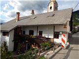 2
2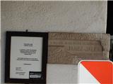 3
3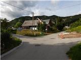 4
4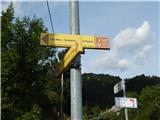 5
5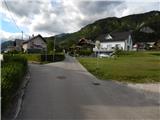 6
6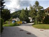 7
7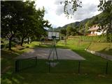 8
8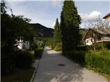 9
9 10
10 11
11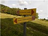 12
12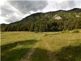 13
13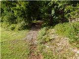 14
14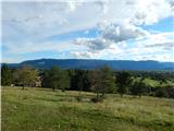 15
15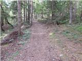 16
16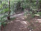 17
17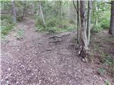 18
18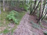 19
19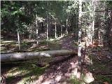 20
20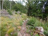 21
21 22
22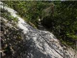 23
23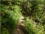 24
24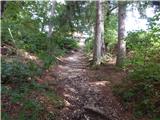 25
25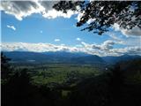 26
26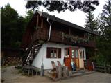 27
27
Discussion about the trail Rodine - Sankaška koča