Starting point: Šembije (597 m)
| Lat/Lon: | 45,5979°N 14,2493°E |
| |
Time of walking: 2 h
Difficulty: easy marked way
Altitude difference: 202 m
Altitude difference po putu: 300 m
Map: Snežnik 1:50.000
Recommended equipment (summer):
Recommended equipment (winter):
Views: 5.172
 | 1 person likes this post |
Access to the starting point:
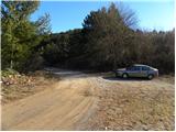
a) From the motorway Ljubljana - Koper take the exit Postojna and follow the road in the direction of Pivka, Rijeka and Ilirska Bistrica. At Pivka, leave the main road leading to Ilirska Bistrica and continue towards Knežak. Just after Knežak, you will reach the village of Šembije, where you should look out for the first turn-off to the left. So from the main road turn sharp left and continue along the worse dirt road, which you follow for about 1 km, or more precisely until you reach the sign "forest road use at your own risk". There is plenty of space to leave your car just in front of the sign.
b) Take the road to Ilirska Bistrica and then continue driving towards Knežak. When you arrive at Šembije, pay attention to the last right turn-off in the village. Turn right off the main road and continue along a dirt road for about 1 km, or more precisely until you reach the sign "forest road use at own risk". There is plenty of space to leave your car just in front of the sign.
Path description:
From the starting point, continue on the macadam road and walk along it for 5 minutes, or until a small crossroads, where a slightly worse road branches off to the right. Take the road mentioned above, which starts to climb crosswise to the right. When you reach a ridge with a view towards Brkini, the road takes a sharp left turn and crosses over to the other side of the hill. Follow the road, which gradually turns into cart track and which slowly descends, for a few minutes, and then you will see a continuation of the, otherwise relatively poorly marked, marked path on the left-hand side.
Continue up the slightly more overgrown path, which leads in a few minutes to another cart track, which you follow to the right. Continue along the folded cart track, which quickly leads to the edge of the steep cliffs, from where a fine view opens up. The marked path continues through the forest and leads us slightly higher to the vast pasture of Pečkova dolina. The pasture, which is guarded by a sheepdog, is bypassed on the right, and the trail turns slightly left after it, moving from the slopes to the plateau. There is a short descent and the path leads to a macadam road, which you follow to the right. Follow the road downhill for some time and then you will reach a small crossroads near the Modras shooting range. Continue slightly to the left and after a few minutes of further walking the road leads to log cabin Črne njive, where there is a larger meadow and a parking area.
From the parking lot at Črne njive, walk to the road leading to Sviščaky and continue your ascent. The road, which climbs moderately, leads us through the forest, and after a good 10 minute walk leads to a left turn, at the beginning of which a marked footpath branches off to the right, leading to Ahac. Continue on the marked path, which climbs gently through the forest and scrub. A little higher up, a small cottage is passed on the right, and the path joins the relatively fresh tractor track logging trail a little above it. There are a few successive forks, where we follow the markings carefully (be careful not to be misled by the Smolar's path markings). A little higher still, we are joined on the right by a marked but unmarked path from the village of Jasen. Continue straight ahead here and then follow the slightly steeper path to the nearby Ahac peak, which is reached after 5 minutes of further walking.

Pictures:
 1
1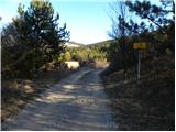 2
2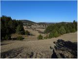 3
3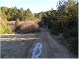 4
4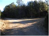 5
5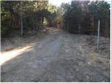 6
6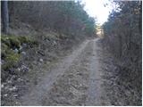 7
7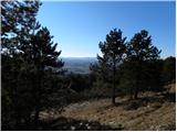 8
8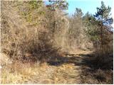 9
9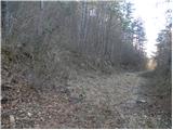 10
10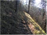 11
11 12
12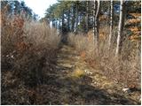 13
13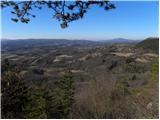 14
14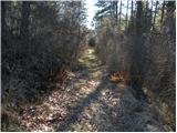 15
15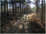 16
16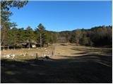 17
17 18
18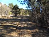 19
19 20
20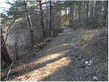 21
21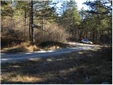 22
22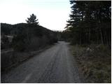 23
23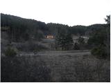 24
24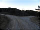 25
25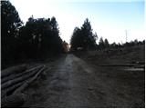 26
26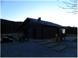 27
27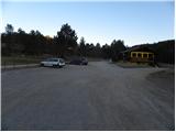 28
28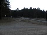 29
29 30
30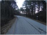 31
31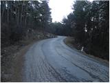 32
32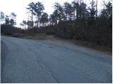 33
33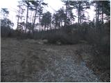 34
34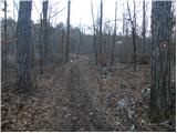 35
35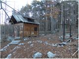 36
36 37
37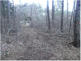 38
38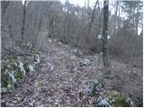 39
39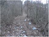 40
40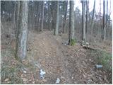 41
41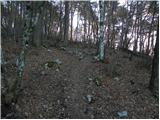 42
42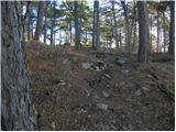 43
43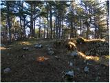 44
44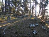 45
45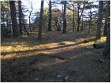 46
46 47
47
Discussion about the trail Šembije - Ahac