Spodnja Rečica - Malič (via Tolsto)
Starting point: Spodnja Rečica (287 m)
| Lat/Lon: | 46,1639°N 15,1867°E |
| |
Name of path: via Tolsto
Time of walking: 2 h 15 min
Difficulty: easy marked way
Altitude difference: 649 m
Altitude difference po putu: 675 m
Map: Posavsko hribovje - zahodni del 1:50.000
Recommended equipment (summer):
Recommended equipment (winter): crampons
Views: 3.934
 | 2 people like this post |
Access to the starting point:
a) From the motorway Ljubljana - Maribor, take the exit Celje - centre, then continue to Laško and Zidane Most. Once in Laško, turn right at the traffic lights opposite the petrol station in the direction of Spodnje and Zgornja Rečica and Hude Jama. Continue along a slightly narrower road, which follows a slight to moderate incline to the sports ground in Spodnja Recica, or almost to the crossroads where the road to Huda Jama branches off to the left. There are no suitable parking places at the starting point.
b) From Zasavje or Posavje, drive to Zidani Most or Rimske Toplice, then continue to Celje. When you reach Laško, the signs for Spodnja and Zgornja Rečica and Huda Jama direct you left onto a slightly narrower road, which you follow in a slight to moderate ascent to the sports ground in Spodnja Recica, or almost to the crossroads where the road to Huda Jama branches off to the left. There are no suitable parking places at the starting point.
Path description:
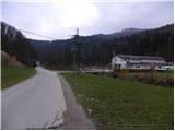
Between the sports field and the crossroads where the road to Huda Jama turns off to the left, you will see the green signboard of the Golden Horn Transversal of Pride, marking the start of the mountain trail leading to Šmohor. Near the green board, you will also see the mountain markings, which direct you to the right on a cobbled road that climbs between a few houses. Walk along the road for a short time, and then the markings direct you slightly to the right on a footpath which continues to climb parallel to the road. Gozdnik of the trail at the crossroads, follow the markings carefully, and it will soon lead to a forest road, which we will only cross. Continue for a short distance on the cart track, and then an arrow on a tree points us sharp right onto a footpath which climbs steeply through the forest for a short distance. Higher up, the path joins the wider cart track, which is followed to a small hamlet, where it crosses a wider dirt road.
Continue towards Tolsto Peak and continue to climb along the edge of the viewing slope, which offers a fine view of Govško brdo, Babe and Ostri vrh. The path then returns to the forest, through which it climbs steeply for a short time, and then joins the cart track, which takes us just a little higher to a marked crossroads. Here, continue to the left in the direction of Tolsto Peak (straight ahead Šmohor) and follow the gradually steeper cart track, which climbs transversely over the slopes of the aforementioned peak. At a higher altitude, the cart track narrows and gradually turns into a relatively steep mountain path, which, after a further 10 minutes' walk, leads to the forested summit.
From the summit, continue along the marked path, which begins to descend towards the nearby pass. Before descending to the precipice, we join the path that bypasses the Tolsto peak, and we continue straight along the path, which soon completely lays down and then starts climbing again. After a few minutes, we join a dirt road, which we follow to the right, and we follow it to the first crossroads. From the crossroads, continue right in the direction of Laško and Maliča (left Dom na Šmohorju for 2 minutes) along a path that crosses a larger meadow, in the middle of which stands a new house. Walk across the meadow and the path quickly leads to the next crossroads, where the path to Liboje branches off to the left and the path to Laško to the right. Here we continue straight on towards Malič Peak, and the path then goes into the forest and climbs parallel to the road. With a few ups and downs, the trail leads to the paragliders' airstrip. The path then climbs steeply and, following the forested western ridge of Malič, quickly leads to the summit.

Pictures:
 1
1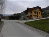 2
2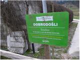 3
3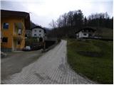 4
4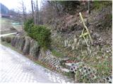 5
5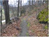 6
6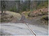 7
7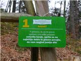 8
8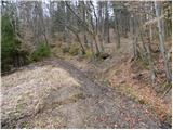 9
9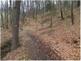 10
10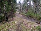 11
11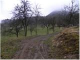 12
12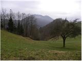 13
13 14
14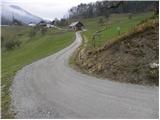 15
15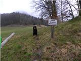 16
16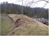 17
17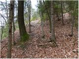 18
18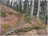 19
19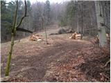 20
20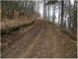 21
21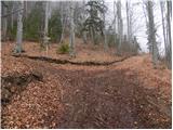 22
22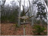 23
23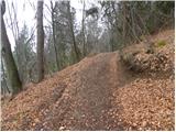 24
24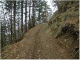 25
25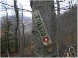 26
26 27
27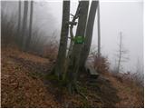 28
28 29
29 30
30 31
31 32
32 33
33 34
34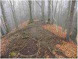 35
35 36
36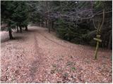 37
37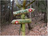 38
38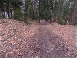 39
39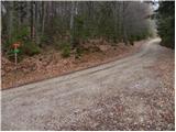 40
40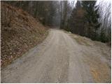 41
41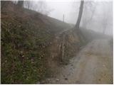 42
42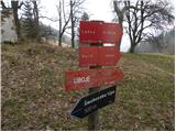 43
43 44
44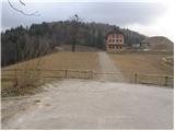 45
45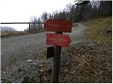 46
46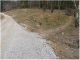 47
47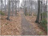 48
48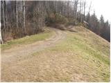 49
49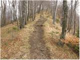 50
50 51
51
Discussion about the trail Spodnja Rečica - Malič (via Tolsto)