Spodnje Bitnje - Sveti Jošt above Kranj (through the valley of stream Suha)
Starting point: Spodnje Bitnje (380 m)
| Lat/Lon: | 46,20896°N 14,33061°E |
| |
Name of path: through the valley of stream Suha
Time of walking: 2 h
Difficulty: easy pathless terrain
Altitude difference: 465 m
Altitude difference po putu: 465 m
Map: Škofjeloško in Cerkljansko hribovje 1:50.000
Recommended equipment (summer):
Recommended equipment (winter): ice axe, crampons
Views: 2.820
 | 1 person likes this post |
Access to the starting point:
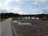
a) Drive to Kranj, then continue in the direction of Škofja Loka. In Spodnje Bitnje, opposite the Church of St Nicholas, turn right and continue along the narrower road that leads through the village, following the main road. The road soon turns slightly to the right and leads us a little further to a crossroads where we continue to the left in the direction of the company Mlinar d. o. o. When the congested part of the settlement ends, you will see a sports ground on the right hand side, where you park in the parking lot in front of the ground.
b)Take the Škofja Loka, then continue driving towards Kranj. In Spodnje Bitnje, at the church of St Nicholas, turn left and continue along the narrow road that leads through the village, following the main road. The road soon turns slightly to the right and leads us a little further to a crossroads where we continue to the left in the direction of Mlinar d. o. o. When the congested part of the settlement ends, you will see a sports ground on the right hand side, where you park in the parking lot in front of the ground.
Path description:
From the parking lot, continue along the asphalt road, which passes the football pitch on the left, and at the hamlet of a few houses, you will see a map on the right with the routes plotted on it. Just a few steps further on, take the road to the right in the direction of the Mlinar wood processing plant. In a few minutes we reach a sign in front of the company, and we continue slightly to the right on a macadam road that gradually turns into the valley of the Suha stream. The way forward takes us along the left bank of the stream for a while, but when we cross over the bridge to the other side of the stream, we continue from the nearby crossroads to the right, slightly worse road. The road continues to climb gently for some time, and after a larger clearing, where there is a hunting observatory and a beehive, the road changes to cart track, the latter crossing the Suha stream a few times. At high water levels we may have some difficulty crossing, but otherwise the stream is skipped. Continue following the stream, and at the confluence take the path to the right, which continues along the stream. The increasingly worse cart track also has a few more forks further on, but we stick to the path that continues to follow the stream, some of the time on the left and some of the time on the right side of the stream. Higher up, the path along the stream disappears completely a few times, but when it reappears, we leave the stream bed by going right and climbing up over the left bank. The cart track is initially quite overgrown, but at a small fork go right. Above the crossroads, cart track gradually widens, and when you reach a wider path, follow it to the left, and continue along it for a short distance without much change in elevation, and after a serpentine to the right, climb more visibly, and a few minutes higher up, join the dirt track.
When you reach the road, climb quickly out of the woods to reach the first houses. Go left here and continue ascending past individual houses and cottages. The path that became asphalted at the first houses leads us a few minutes higher to the main road, and we follow it to the right, where we pass a signpost marking the end of the village of Javornik and a goat house. At the ecological island, we leave the road and go left down the stairs, where we soon see the first markings. After a few minutes of climbing through the forest, you will reach an asphalt road leading to the top of Sv. Jošto above Kranj. Follow the road to the right, and the marked path from Čepulj will soon join us on the left. From here, walk along the road until the first bend, then continue straight into the forest, through which the waymarked path continues. The path continues ascending gently at first and then, after a few crossroads where you follow the markings, a little steeper. The steep ascent is cut by an asphalt road leading to the summit, and we continue straight across the road, onto a path that continues over an increasingly scenic grassy slope. After a further short climb, we reach the Dom na Joštu, and a few 10 steps further on, the Church of St. Jošta.
The description refers to the situation in 2019 (December) and the pictures are from different periods.

Pictures:
 1
1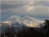 2
2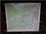 3
3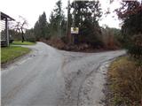 4
4 5
5 6
6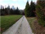 7
7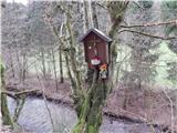 8
8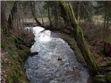 9
9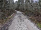 10
10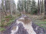 11
11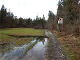 12
12 13
13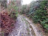 14
14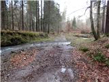 15
15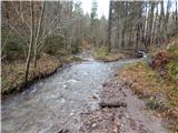 16
16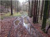 17
17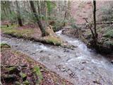 18
18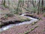 19
19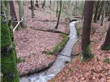 20
20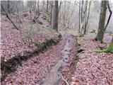 21
21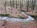 22
22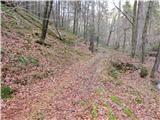 23
23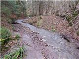 24
24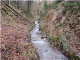 25
25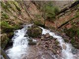 26
26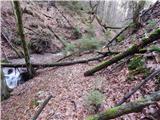 27
27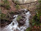 28
28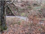 29
29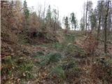 30
30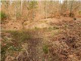 31
31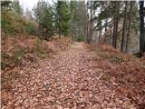 32
32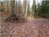 33
33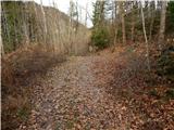 34
34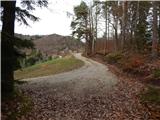 35
35 36
36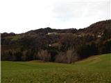 37
37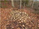 38
38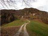 39
39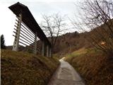 40
40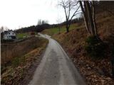 41
41 42
42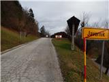 43
43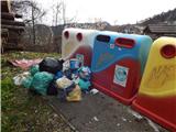 44
44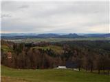 45
45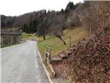 46
46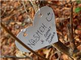 47
47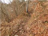 48
48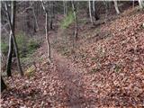 49
49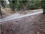 50
50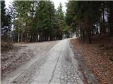 51
51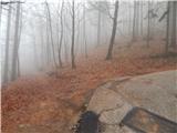 52
52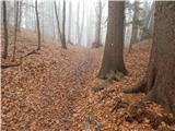 53
53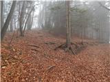 54
54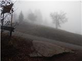 55
55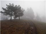 56
56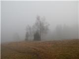 57
57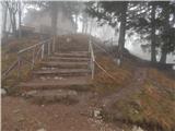 58
58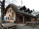 59
59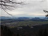 60
60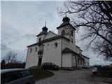 61
61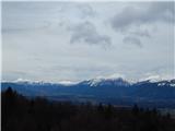 62
62
Discussion about the trail Spodnje Bitnje - Sveti Jošt above Kranj (through the valley of stream Suha)
|
| som6911. 01. 2020 |
Do Javornika bi zaradi zaraščenosti in močvirnatega terena predlagal pot čez Tičnico in "po vrheh", drugače pa dober opis 
|
|
|