Srednji Vrh - Jureževa planina
Starting point: Srednji Vrh (960 m)
| Lat/Lon: | 46,4894°N 13,8371°E |
| |
Time of walking: 1 h 30 min
Difficulty: easy unmarked way
Altitude difference: 528 m
Altitude difference po putu: 528 m
Map: Kranjska Gora 1:30.000
Recommended equipment (summer):
Recommended equipment (winter): ice axe, crampons
Views: 5.591
 | 2 people like this post |
Access to the starting point:
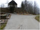
From the motorway Ljubljana - Jesenice, take the exit Jesenice - west (Hrušica) and continue in the direction of Kranjska Gora. When you reach Gozd-Martuljek, turn right in the direction of Srednji Vrho and follow the narrow and steep road to the above-mentioned place. When the road levels out a bit, you will come to a crossroads of several roads and a turning point. Park here in a suitable space at the junction.
Path description:
From the crossroads, continue along the ascending road on the left, where you will see the signs "Trupijevo poldne". Follow this road, which leads you past the cheese cottage Pr' Hlebanju and the trail to Techantinger Mittagskogel, to the end of the road at the farm Jurež (Organic farm at Merklen). Continue past the outbuilding, then just before the dwelling house, take a sharp right onto cart track, which climbs between the two buildings. Continue on cart track, which climbs over a hay field, then turns left and gradually passes into the forest, through which it takes some time to climb. The path soon crosses a small well and then quickly leads to a crossroads of two cart tracks. Continue along the right one (the left one ends at a destroyed bridge), which leads us just a little further out of the forest onto grassy slopes. Here the track loses its way a little, and we keep to the right edge of the grassy slope throughout the ascent. Higher up, we step onto the road leading from the Korensko sedlo border crossing and follow it to the right, which leads us to Jureževo mountain pasture after a good 5 minutes of further walking.

Pictures:
 1
1 2
2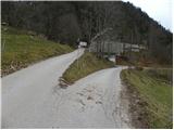 3
3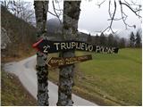 4
4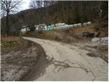 5
5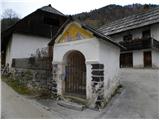 6
6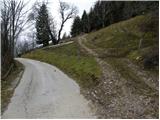 7
7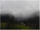 8
8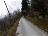 9
9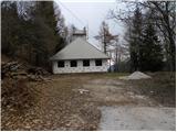 10
10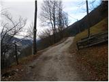 11
11 12
12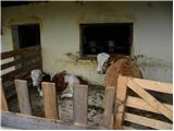 13
13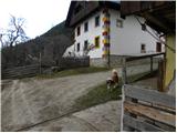 14
14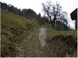 15
15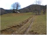 16
16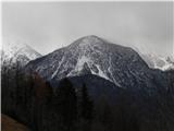 17
17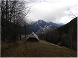 18
18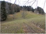 19
19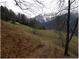 20
20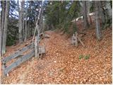 21
21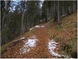 22
22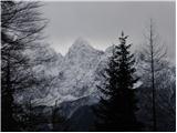 23
23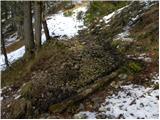 24
24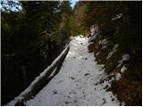 25
25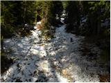 26
26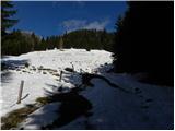 27
27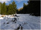 28
28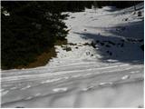 29
29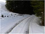 30
30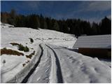 31
31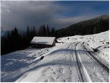 32
32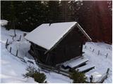 33
33
Discussion about the trail Srednji Vrh - Jureževa planina
|
| banananjam15. 07. 2013 |
mene samo zanima kako je odprta lovska koca na planini
|
|
|