Studenice - Dom na Boču (on road and mountain path)
Starting point: Studenice (260 m)
| Lat/Lon: | 46,2999°N 15,6138°E |
| |
Name of path: on road and mountain path
Time of walking: 2 h 10 min
Difficulty: easy marked way
Altitude difference: 438 m
Altitude difference po putu: 560 m
Map: Posavsko hribovje Boč - Bohor 1:50.000
Recommended equipment (summer):
Recommended equipment (winter):
Views: 2.672
 | 2 people like this post |
Access to the starting point:
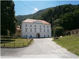
a) From Maribor, leave the motorway at Slovenska Bistrica, where signs direct you to Poljčane. In the centre, turn left in the route Studenice and after about three kilometres reach Studenicee, where you continue to the right over the bridge over the Dravinja River into the central part of the settlement. Park safely in front of the monastery complex.
b) From the route of Ljubljana, leave the motorway at Slovenske Konjice and drive through Žič, Loč and Zbelovo to the centre of Poljčany. In the centre, turn right towards Studenice and after about three kilometres reach Studenice, where you continue right over the bridge over the Dravinja River into the central part of the settlement. Park safely in front of the monastery complex.
c) From the route of Ptuj, Kidričevo via Ptujska gora, Majšperk and Makole, arrive at Studenice, where you continue left over the bridge over the Dravinja river into the central part of the settlement. Park safely in front of the monastery complex.
Path description:
After a short tour of the central part of Studenice, we continue to the left of the monastery complex by the parish. In the passageway/underpass between the parish and the St Martin Studenicee Vineyarders' Association, continue up the cart track along the stone walls and the Nun's Cemetery. Soon you will reach the spring(s) of the Warm Studeniškės Brook, which are to the left of the path, and cross the brook on a narrow footbridge. Continue uphill, now on the old Roman road, which has retained its original form over the centuries as a basic route higher up to Boč. At the exit to the forest road turn left, the road to the right leads to the settlement Podboč or Zgornje Poljčane.
Follow the forest road and on the left side of the path there is a turnoff for the hunting lodge LD Poljčane, we continue straight ahead. At the first major crossroads/fork, continue straight ahead or left, to the right is the road to Formilo, the tower at Boč. . . At the junction on the right is a landmark, a small abandoned concrete forestry warehouse. Continue along the road, to the left of the path is a small partly abandoned wooden building under the road and a little further on the left is a lookout point to the lower area and towards Pohorje. . .
Further on, we soon reach a crossroads and the mountain trail from Makol. It is not marked with direction signs and we continue sharp right upwards, now on the forest mountain path, which is well marked with markings. An iron hunting crossing will soon be on the right side of the trail, and the trail will continue on a slightly shelving ridge below Kisovec. To the right of the path is another wooden hunting crossing, this time wooden, and soon you will be heading downhill through a part of the forest that was felled a few years ago. Further on, right onto a wider forest road and also practically descending to Formilo.
Formila is reached and there is a short extension to the crossroads, left for the partisan hospital, Gavez, Gril's chapel, Plešivec. . . and right for the mountain lodge on Boč. The crossroads is also the contact with the Styrian - Zagorje or ,,B,, - Brother trail.
After a short visit to Formila, continue right in the direction of the Boč mountain lodge. Follow the well-fortified forest road through the forest. Further on, the forest road from the direction of Rogaška Slatina and also the direct mountain trail from the hunting lodge Rogaška Slatina and Gavez join steeply downwards from the left. Soon, in a few tens of metres, you reach a new crossroads and continue to the right, straight ahead is the direction for Kostrivnica. Continue on and regain the crossroads, where you go left on the classic forest mountain trail, which you follow through the forest. Soon on a grassy meadow and in front of a building under construction, turn right uphill and immediately left again on the forest road. Follow the forest road and reach the highest point of the trail today at the pass. . . 727 metres. Then a gentle downhill and a short climb again at the former Drevenik cafeteria, which is to the left of the trail. A few more steps and we reach the tarmac road and an important crossroads. Plenty of scope for possible continuation but today right and down by a small disused quarry on the right of the path. Soon afterwards we reach the church of St Nicholas at Boč on the left side of the path and the destination on the right. . . the home of the mountaineers of PD Poljčane at Boč. The route from Studenice is about 9000 metres long, 560 positive vertical metres and 130 negative vertical metres.

Pictures:
 1
1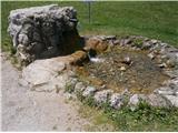 2
2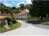 3
3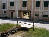 4
4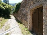 5
5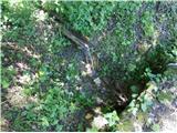 6
6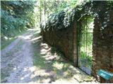 7
7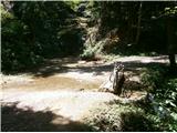 8
8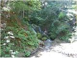 9
9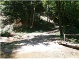 10
10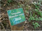 11
11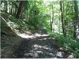 12
12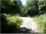 13
13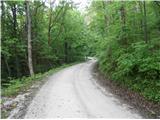 14
14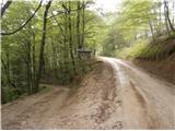 15
15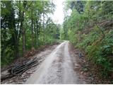 16
16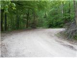 17
17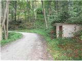 18
18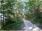 19
19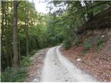 20
20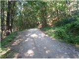 21
21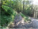 22
22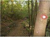 23
23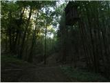 24
24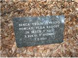 25
25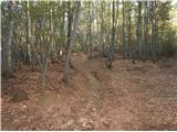 26
26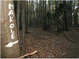 27
27 28
28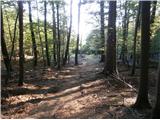 29
29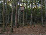 30
30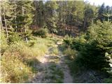 31
31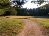 32
32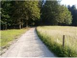 33
33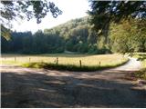 34
34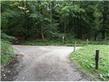 35
35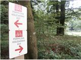 36
36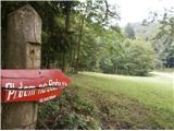 37
37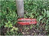 38
38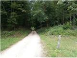 39
39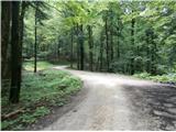 40
40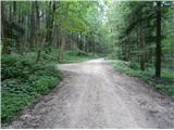 41
41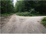 42
42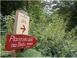 43
43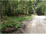 44
44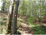 45
45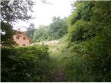 46
46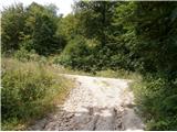 47
47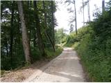 48
48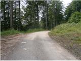 49
49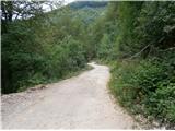 50
50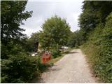 51
51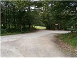 52
52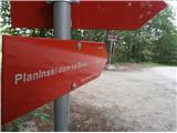 53
53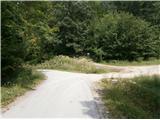 54
54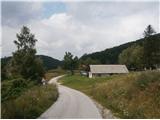 55
55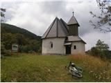 56
56 57
57
Discussion about the trail Studenice - Dom na Boču (on road and mountain path)