Sveti Mavricij - Sveti Socerb (Artviže)
Starting point: Sveti Mavricij (403 m)
| Lat/Lon: | 45,6574°N 14,0009°E |
| |
Time of walking: 2 h 15 min
Difficulty: easy marked way
Altitude difference: 414 m
Altitude difference po putu: 470 m
Map:
Recommended equipment (summer):
Recommended equipment (winter):
Views: 9.653
 | 1 person likes this post |
Access to the starting point:
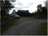
From the motorway Ljubljana - Koper, take the exit Divača, then continue driving towards Škocjanske caves and Ilirska Bistrica. Continue through Matavun and Naklo, and just after the end of Naklo, pay attention, because you will see the restored church of St. Mavricius on your right, and park next to it.
Path description:
From the Church of St. Maurice, take the macadam road in the direction of Artviže and Slavnik. We start on a gently ascending forest road closed to public traffic, at which we see a notice that we are entering a bear area. After an initial slight ascent, the road gradually starts to descend and then leads to a small crossroads, where you continue along the upper right-hand road. After a while, the road crosses the Sušica stream bed and leads us out of the woods to a larger meadow where it ends. Here we continue to the right along the grassy cart track, which initially leads us past a hunting observation post, and then leads us across a larger meadow without any major changes in elevation. On the other side of the meadow, cross lane of woodland or scrub, then cart track widens again into a minor forest road, which then leads past an orchard to an asphalt road, which you follow to the right. Continue first gently and then more moderately along the asphalt road, which quickly leads to a less well-marked crossroads by a small concrete cross. From the cross, continue along the right, steeper road, which quickly leads to a sharp right turn, where you leave. From the bend, continue straight along the marked and sometimes quite overgrown mountain path, which ascends crosswise over a slightly steeper slope. After a few minutes of crossing, we arrive in the village Podgrad pri Vremah, and we follow the signs and markings for Artviže at the crossroads through the village.
We quickly leave the smaller village as the markers direct us left to cart track, which starts to descend gently to the left. Cart track quickly passes into the woods, where, after a gentle descent for the most part, it leads to a nearby stream, which is crossed and after which we start to climb steeply through the woods. The well-marked, but in some places slightly overgrown, path becomes higher and turns into cart track, which soon leads to a nearby macadam road, which we only cross. We continue our ascent on the partly muddy cart track, which returns to the dirt road higher up, and we quickly climb it to the village Artviže, where we see a registration box with a stamp in front of us, and a few metres to the right, the NOB monument. From the centre of the village, continue along the asphalt road, which is not marked. At the crossroads, keep to the left (the turnoffs to the courtyard are overlooked), and the road quickly leads above the village, where the asphalt ends. The ascent continues on a grassy slope with a view, which takes a few minutes to reach the Church of St. Socerba, located on the highest peak of the Brkini Mountains.

Pictures:
 1
1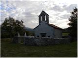 2
2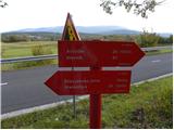 3
3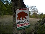 4
4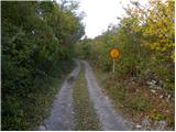 5
5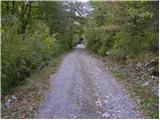 6
6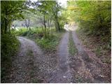 7
7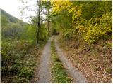 8
8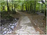 9
9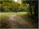 10
10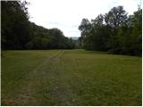 11
11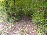 12
12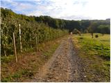 13
13 14
14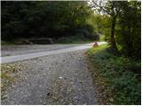 15
15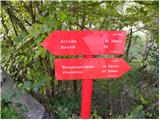 16
16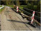 17
17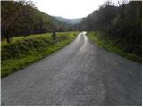 18
18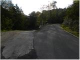 19
19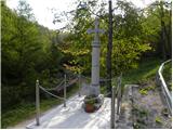 20
20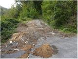 21
21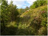 22
22 23
23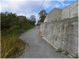 24
24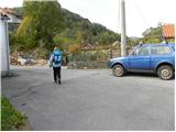 25
25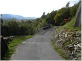 26
26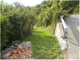 27
27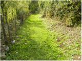 28
28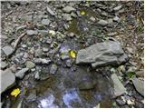 29
29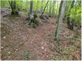 30
30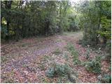 31
31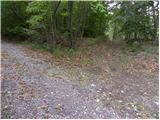 32
32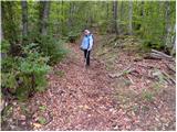 33
33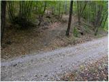 34
34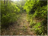 35
35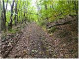 36
36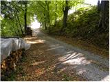 37
37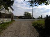 38
38 39
39 40
40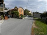 41
41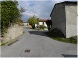 42
42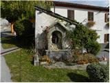 43
43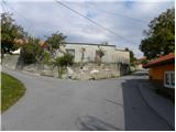 44
44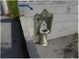 45
45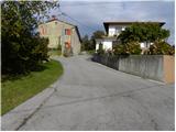 46
46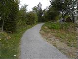 47
47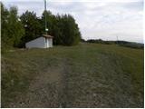 48
48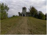 49
49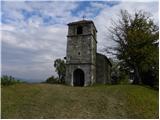 50
50 51
51
Discussion about the trail Sveti Mavricij - Sveti Socerb (Artviže)
|
| Kokta29. 10. 2011 |
Lepa vasica in čudovita cerkev
|
|
|
|
| odri30. 10. 2011 |
Joj, a tisto glede medveda res drži??? Mislim, tista opozorila tabla?? Tam, kjer so medvedi, tam pa mene rajši ni.
|
|
|
|
| wolphgang31. 10. 2011 |
lepa pot, škoda le, da s strani Markovščine ni druge možnosti, kot hoja po cesti
|
|
|