Starting point: Sveti Urh (420 m)
| Lat/Lon: | 46,0273°N 14,3207°E |
| |
Time of walking: 1 h
Difficulty: easy marked way
Altitude difference: 203 m
Altitude difference po putu: 245 m
Map: Ljubljana - okolica 1:50.000
Recommended equipment (summer):
Recommended equipment (winter):
Views: 4.507
 | 1 person likes this post |
Access to the starting point:
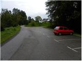
a) From the motorway Ljubljana - Koper take the exit Brezovica, then continue in the route Dobrova near Ljubljana. From Dobrova continue in the direction of Horjul, and we take the regional road to Podolnica. Here, turn right into the village, and then in the upper part of the village, continue left towards the Church of St. Urho. Park in the asphalted parking lot a few 10 metres below the church.
b) From the motorway Koper - Ljubljana, take the exit Vrhnika, then continue in the direction Horjula. When you arrive in Horjul, turn right at the crossroads in the direction Dobrova, and follow the main road to Podolnica. Turn left into the village, then in the upper part of the village continue left towards the Church of St. Urho. Park in the asphalted parking lot a few 10 metres below the church.
Path description:
From the parking lot, go back a few metres and then take the cart track route, which continues past the water tower. Continue briefly on the wider cart track, then continue right into the woods. Continue in the direction of Ključ (straight ahead over the Prosec and Koreno passes) and continue climbing the occasionally steeper tractor track logging trail. Higher up, another path joins us from the Prosec prevala on the left, and we continue straight on the marked path, which continues to climb only gently to moderately. Higher up, the path becomes even more sloping and then slowly begins to descend gently. The trail, which passes through the forest the whole time, is joined a little lower down by the trail from Podolnica.
From the crossroads, continue in the direction of Ključ, and we follow the slightly steeper path in the direction of Ključ. As the trail has a few small forks further on, follow the markings carefully so as not to get lost on one of the many unmarked dirt tracks. There is a shorter, slightly steeper climb and the path leads to the forested summit of Ključ.

Pictures:
 1
1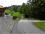 2
2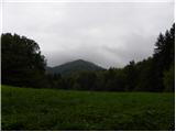 3
3 4
4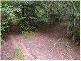 5
5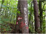 6
6 7
7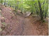 8
8 9
9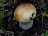 10
10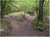 11
11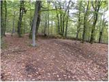 12
12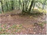 13
13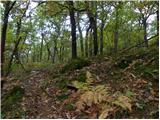 14
14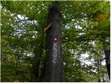 15
15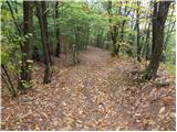 16
16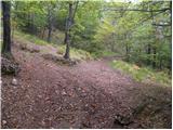 17
17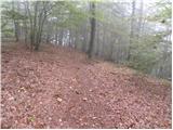 18
18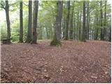 19
19 20
20
Discussion about the trail Sveti Urh - Ključ