Starting point: Volaka (580 m)
| Lat/Lon: | 46,1435°N 14,1057°E |
| |
Time of walking: 45 min
Difficulty: easy unmarked way
Altitude difference: 220 m
Altitude difference po putu: 230 m
Map: Škofjeloško in Cerkljansko hribovje 1:50.000
Recommended equipment (summer):
Recommended equipment (winter):
Views: 3.200
 | 1 person likes this post |
Access to the starting point:
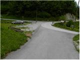
From Škofja Loka, drive towards Gorenjska vas and on to Hotavlje, where you turn right towards Leskovica and the Cerkno ski centre. After only a few 100 m, leave the road leading to Leskovica and turn right in the direction of Blegoš and the Marmor Hotavlje factory. Continue past the factory and the quarry, then reach the next crossroads, where you turn slightly left in the direction of Volaka. Continue along the Volaščice River, and we calmly "overlok" all the left and right turns and follow the road to the confluence of the Volaščice River and the Javorjeva Grapa River. There is a small parking lot at the confluence, and there are also mountain signs for Blegoš nearby.
Path description:
At the parking lot, we see signs for Blegoš, which direct us to a steep road that climbs between nearby houses. The road ends at the last house, and we continue our ascent on the right-hand of the two tracks. Cart track continues to climb crosswise over the Volaščica and then, just after we have crossed the grassy slope, leads us to an unmarked crossroads where we continue along the left unmarked path (slightly to the right of Blegoš). The path continues for some time crossing slightly steeper slopes and then leads us along the left bank of the Volaščica. Next, cross the two side springs, and then in a few steps of further walking you will arrive at the largest spring of the Volaščice.
Continue along the right side of the spring, following the initially still visible path, which begins to climb moderately through the forest. Higher up, the path becomes less distinct and for a short time climbs steeply. Further on, the path leads us out of the forest, to the lower edge of the grassy slope, where it almost completely disappears for a short time. Continue along the forest edge and the path quickly leads to a track, which you follow in a moderate ascent to the left. Cart track then crosses lane of the forest, and then across a vast grassy hayfield to the wider cart track. When you get on the above-mentioned track, follow it to the right, and after a short ascent it quickly leads you to the Church of St Urho in Leskovica.

Pictures:
 1
1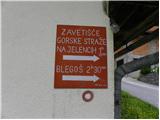 2
2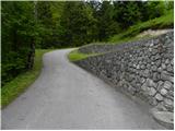 3
3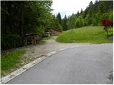 4
4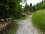 5
5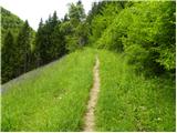 6
6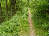 7
7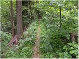 8
8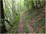 9
9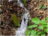 10
10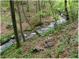 11
11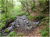 12
12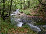 13
13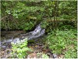 14
14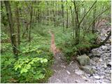 15
15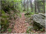 16
16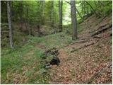 17
17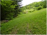 18
18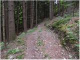 19
19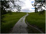 20
20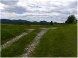 21
21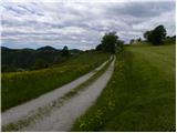 22
22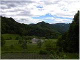 23
23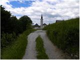 24
24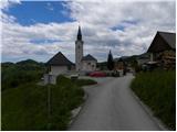 25
25
Discussion about the trail Volaka - Leskovica
|
| thomas16. 02. 2012 |
lepa tura, potem pa še naprej do vrha Blegoša približno uro in pol hoda. 
|
|
|