Vrzdenec - Gradišče nad Žažarjem (via Žažar)
Starting point: Vrzdenec (341 m)
| Lat/Lon: | 46,0187°N 14,276°E |
| |
Name of path: via Žažar
Time of walking: 1 h
Difficulty: easy unmarked way
Altitude difference: 206 m
Altitude difference po putu: 215 m
Map: Ljubljana - okolica 1:50.000
Recommended equipment (summer):
Recommended equipment (winter):
Views: 2.053
 | 1 person likes this post |
Access to the starting point:
a) Drive to Horjul, then continue to Vrzdenec. The route described starts at the road turnoff to Žažar, and we park at a suitable place nearby, or higher up on the road to Žažar.
b) From Gorenje vas or Žiri, drive towards Horjul, and when you reach Vrzdenec, pay attention, because the route described starts at the road turning right for Žažar. Park at a suitable place nearby, or higher up on the road to Žažar.
Path description:
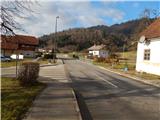
From the main road, continue in the direction of Žažar. After crossing the Šujica stream, the road splits into two parts, where you continue on the upper road. Just after the crossroads, the Vrzdenec settlement ends and the road starts to climb steeply. Higher up, the road branches off to the right to the homestead of Činžar, and we continue straight ahead, passing a small abandoned quarry, to Žažar, where we continue left at the crossroads. After the crossroads, where the road to Shelter Horjul branches off to the right, bear slightly left once more and then walk past the Church of St Anne. The compact part of the settlement ends quickly, and the road then leads along the edge of the meadows. A little further on, you reach a small hamlet, where you continue slightly to the left, passing all the houses on the right. After the last house, the road changes to cart track, which climbs slightly steeper. After some 10 paces, cart track lays down and turns left, where it crosses a view hayfield, and then begins to turn right in a semicircle. After crossing a belt of forest, you arrive at the foot of the summit, where you see a larger cross, which is only a short 10-step walk away.
Description and pictures refer to 2016 (December).

Pictures:
 1
1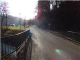 2
2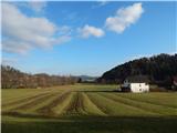 3
3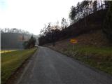 4
4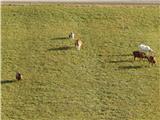 5
5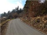 6
6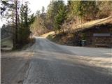 7
7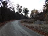 8
8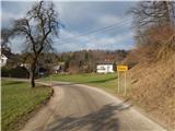 9
9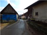 10
10 11
11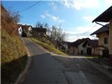 12
12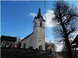 13
13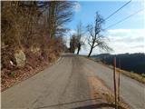 14
14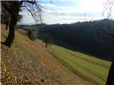 15
15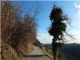 16
16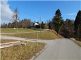 17
17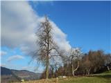 18
18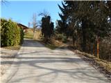 19
19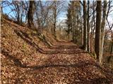 20
20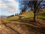 21
21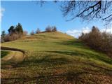 22
22 23
23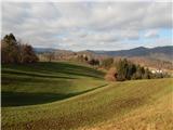 24
24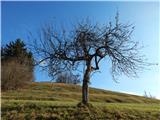 25
25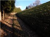 26
26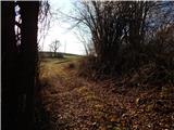 27
27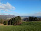 28
28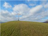 29
29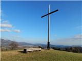 30
30 31
31
Discussion about the trail Vrzdenec - Gradišče nad Žažarjem (via Žažar)