Zgornja Besnica (Nova vas) - Rovnik (east path)
Starting point: Zgornja Besnica (Nova vas) (468 m)
| Lat/Lon: | 46,2697°N 14,2659°E |
| |
Name of path: east path
Time of walking: 45 min
Difficulty: easy unmarked way
Altitude difference: 239 m
Altitude difference po putu: 245 m
Map: Škofjeloško in Cerkljansko hribovje 1:50.000
Recommended equipment (summer):
Recommended equipment (winter):
Views: 5.074
 | 2 people like this post |
Access to the starting point:
a) From Ljubljana, take the old road to Kranj, then follow the main road to the bridge over the Sava River. Just before the bridge, we leave the main road and continue straight ahead towards Besnice. Continue through Rakovica and Spodnja Besnica to Zgornja Besnica, where, at the sign for the end of Zgornja Besnica, we park in a convenient place next to a number of direction signs.
b)From Jesenice or Bled, take the motorway towards Ljubljana, and follow it to the Kranj - West exit. Continue along the old regional road towards Ljubljana, and we follow it to Kranj, where we turn right towards Besnice, just after the bridge over the Sava River. Continue through Rakovica and Spodnja Besnica to Zgornja Besnica, where you will park at the end of Zgornja Besnica at a convenient place next to a number of direction signs.
c) The starting point can also be reached from Železniki by passing through the villages Rudno and Dražgoše towards Kranj. When you reach Zgornja Besnica, park in a suitable place next to the sign, Zgornja Besnica.
Path description:
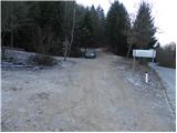
From the starting point we continue along the road in the direction of Kranj, where we walk between the houses of the hamlet of Nova vas, when we reach a small crossroads, where the road to the left branches off to house numbers 2, 4, 6, 8, 10. . . , and we continue to the right on the side road, when a few 10 steps further we arrive at the edge of the forest and we continue along the cart track, which a little further on begins to climb through the forest.
Continue up the relatively steep cart track, which leads us higher to a small crossroads. Continue along the wider right cart track, which soon splits again. Continue again along the right-hand cart track, which is also marked by a small wooden signpost with the inscription Rovnik. At the next crossroads, take the left-hand cart track, which is only followed for a short distance, because then you see a beaten track on the left-hand side, which begins to climb moderately through the forest. The path leads us higher up to the lookout, where we cross cart track, and we continue along the path, which in a few minutes of further walking takes us to the forested peak of Rovnik.

Pictures:
 1
1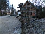 2
2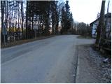 3
3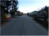 4
4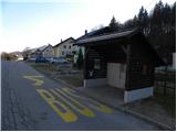 5
5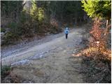 6
6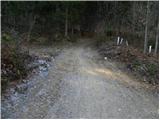 7
7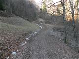 8
8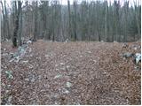 9
9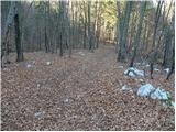 10
10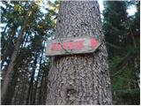 11
11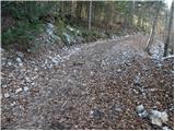 12
12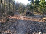 13
13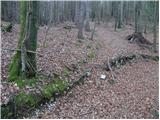 14
14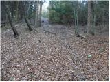 15
15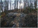 16
16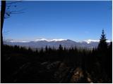 17
17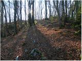 18
18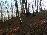 19
19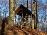 20
20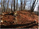 21
21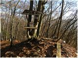 22
22
Discussion about the trail Zgornja Besnica (Nova vas) - Rovnik (east path)