Starting point: Žovneško jezero (305 m)
| Lat/Lon: | 46,2771°N 15,01°E |
| |
Time of walking: 2 h 25 min
Difficulty: easy unmarked way
Altitude difference: 660 m
Altitude difference po putu: 700 m
Map: Kamniške in Savinjske Alpe 1:50.000
Recommended equipment (summer):
Recommended equipment (winter): crampons
Views: 3.314
 | 1 person likes this post |
Access to the starting point:
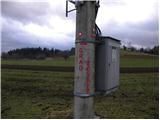
a) From the motorway Ljubljana - Maribor, take the exit Vransko, then continue along the parallel old road towards Celje. A little after Kapla, leave the main road and turn left in the direction of Braslovč. Continue through Gomilsko, and we follow the road towards Braslovče until we reach a point where signs for Žovnek Castle point us to the left. Continue along the slightly narrower road by the Žovne Lake, and we follow it to where we see the mountain signs for Žovnek Castle on the electricity pylon. As there are no suitable parking places at the starting point, it is better to park a little lower down in a suitable place along the road, but you can also drive higher up the road towards Žovnek Castle and then park there in a suitable place along the road.
b) From the motorway Maribor - Ljubljana, take the exit Šentrupert and then continue in the direction of Mozirje. Leave the main road at Parižlje and continue along the local road towards Spodnje Gorče. Here, cross the main road Gomilsko - Braslovče and continue driving towards the village and castle of Žovnek. Continue along the slightly narrower road by the Žovenice lake, and follow it to where you can see the mountain markers for Žovnek Castle on the electricity pylon. As there are no suitable parking places at the starting point, it is better to park a little lower down in a suitable place along the road, but you can also drive higher up the road towards Žovnek Castle and then park there in a suitable place along the road.
Path description:
From the electricity pylon, bear right across the meadow to the edge of the forest, where you will see a slightly larger marking on a tree. Here the path enters the forest, which begins to climb quite steeply. The path soon becomes wider and leads to the wider cart track, which leads to a small crossroads. Here, continue left uphill (the right-hand path bypasses Žovnek Castle) and continue up the steep path to reach Žovnek Castle in 2 minutes.
At the castle, take the road down to the first crossroads, and continue along the upper right road, which you follow for only a few steps, as the signs then direct you left on the ascending cart track. Continue for some time cross-climbing above the torrential gully, crossing it at a higher level, then climb to the nearby dirt road, which you follow to the right. The way forward leads past the NOB monument and Lovski dom pod Grmado to a crossroads, where we continue sharp left in the direction of Črete. Continue for some time along a relatively scenic road, and then the signs for Čreta direct you sharp left to cart track, or a wider path which crosses the dirt road higher up. The way forward climbs through the forest for a short time, then leads to a grassy hayfield, which leads up to a secluded homestead.
Above the homestead you reach a small monument and a chapel, and the path turns right into the wods at the chapel. We climb through lane of wods and scrub, the path returns to the road and we follow it to the right. We continue walking along the road for some time, which leads us past a large monument and later a small hamlet to a marked crossroads.
Continue along the road to the left (straight ahead Dom Dobrovlje, Bezovec and Letuš), which we follow for only a few 10 steps, as the signs for Čreto then direct us to the left to the marked cart track. The way forward is for some time zložno to moderately climbs, and then leads us to the next NOB monument, after which the path gradually begins to descend. After a short descent we reach a small hamlet, which the marked path bypasses on the left, and then, in a moderate ascent over an increasingly scenic slope, we climb up to the Church of St. Mother of God. From the church, continue left, cross the pasture fence and the path leads into the forest. In the forest, the path splits into two parts, we choose the right and in a few 10 steps further walk we reach a nondescript peak.

Pictures:
 1
1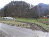 2
2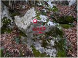 3
3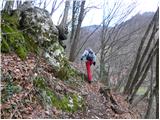 4
4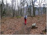 5
5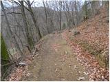 6
6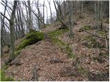 7
7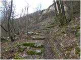 8
8 9
9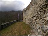 10
10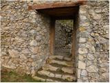 11
11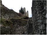 12
12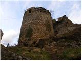 13
13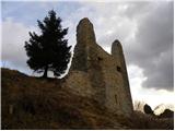 14
14 15
15 16
16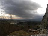 17
17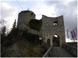 18
18 19
19 20
20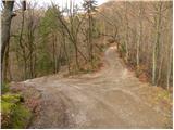 21
21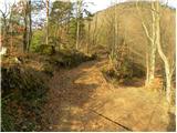 22
22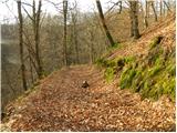 23
23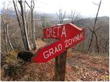 24
24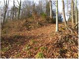 25
25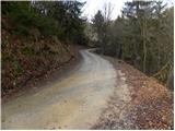 26
26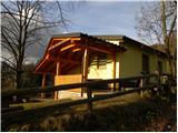 27
27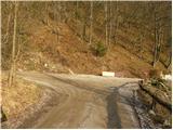 28
28 29
29 30
30 31
31 32
32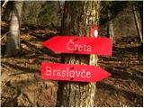 33
33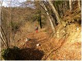 34
34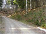 35
35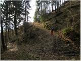 36
36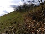 37
37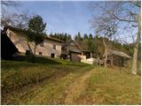 38
38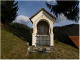 39
39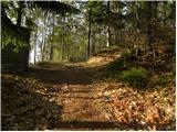 40
40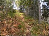 41
41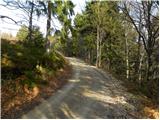 42
42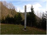 43
43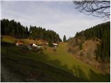 44
44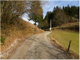 45
45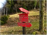 46
46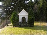 47
47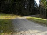 48
48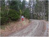 49
49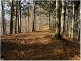 50
50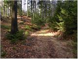 51
51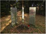 52
52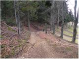 53
53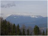 54
54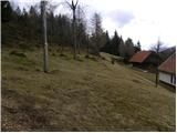 55
55 56
56 57
57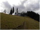 58
58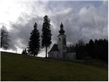 59
59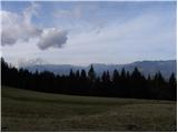 60
60 61
61 62
62 63
63
Discussion about the trail Žovneško jezero - Vrhe