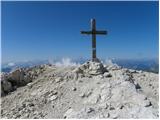
 | Sella Nevea - Visoki Kanin (Via ferrata Divisione Julia)
Visoki Kanin is the highest peak of the Kanin Mountains. From the summit on which the cross stands, you have a beautiful view of the western Juli...
4 h 45 min |
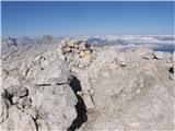 | Vršič - Prisank / Prisojnik (ridge way)
Prisank is a 2547 m high mountain located above the valleys of Mlinarica, Krnica and Suha Pišnica. From the top of the peak, where the registrati...
3 h 30 min |
 | Vršič - Prisank / Prisojnik (Kopiščarjeva pot)
Prisank is a 2547 m high mountain located above the valleys of Mlinarica, Krnica and Suha Pišnica. From the top of the peak, where the registrati...
3 h 50 min |
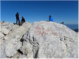 | Koča na Gozdu - Prisank / Prisojnik (Hanzova pot)
Prisank is a 2547 m high mountain located above the valleys of Mlinarica, Krnica and Suha Pišnica. From the top of the peak, where the registrati...
5 h |
 | Erjavčeva koča na Vršiču - Prisank / Prisojnik (Kopiščarjeva pot)
Prisank is a 2547 m high mountain located above the valleys of Mlinarica, Krnica and Suha Pišnica. From the top of the peak, where the registrati...
4 h |
 | Erjavčeva koča na Vršiču - Prisank / Prisojnik (ridge path)
Prisank is a 2547 m high mountain located above the valleys of Mlinarica, Krnica and Suha Pišnica. From the top of the peak, where the registrati...
3 h 45 min |
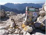 | Erjavčeva koča na Vršiču - Prisank / Prisojnik (via Kajzljeva škrbina)
Prisank is a 2547 m high mountain located above the valleys of Mlinarica, Krnica and Suha Pišnica. From the top of the peak, where the registrati...
5 h |
 | Vršič - Prisank / Prisojnik (via Kajzljeva škrbina)
Prisank is a 2547 m high mountain located above the valleys of Mlinarica, Krnica and Suha Pišnica. From the top of the peak, where the registrati...
4 h 45 min |
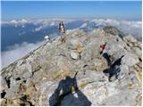 | Trate / Johannsenruhe - Hochstuhl/Stol (climbing way)
At 2236 m, Stol is the highest peak in the Karavanke Mountains. From the summit, which has a registration box and a stamp, we have a beautiful vi...
3 h 20 min |
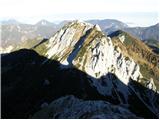 | Ljubelj - Veliki vrh (Košuta) (via Koča na Ljubelju)
Veliki vrh, with a height of 2088 m, is the westernmost two-thousander in the longest Slovenian ridge - the Košuta. From the summit, where there ...
3 h 50 min |
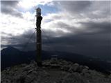 | Dom pod Storžičem - Storžič (via Psica)
Storžič is a 2132 m high mountain located in the western part of the Kamink Savinja Alps. From the top with a cross there are beautiful views of ...
3 h 45 min |
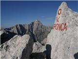 | Dom v Tamarju - Visoka Ponca
Visoka Ponca is located on the border with Itali and has beautiful views of the mountains above the Tamar Valley and the Italian Julian Alps. Jal...
4 h |
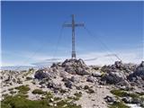 | Nassfeld - Creta di Aip / Trogkofel (Uiberlacher Steig)
Creta di Aip is the highest peak in the area of the Mokrine/Nassfeld Pass. The mountain has a sloping summit from which steep precipitous cliffs ...
4 h 30 min |
 | Nassfeld - Creta di Aip / Trogkofel (Via Ferrata Crete Rosse)
Creta di Aip is the highest peak in the area of the Mokrine/Nassfeld Pass. The mountain has a sloping summit from which steep precipitous cliffs ...
4 h 30 min |
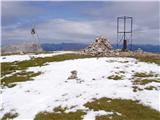 | Parking place below Nassfeld - Monte Cavallo / Rosskofel (by east ridge)
The Horse Spike / Monte Cavallo di Pontebba / Rosskofel is a 2240 m high and very scenic mountain in the Carnic Alps main ridge in the Wetlands /...
3 h 30 min |
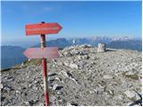 | Rudnik v Topli - Petzen (Kordeschkopf) (Peca (Kordeževa glava)) (via Dom na Peci - climbing way)
Kordeževa glava, better known as Peca is the highest summit in the mountain chain Peca. It is located on the border with Austria above Mežiška do...
3 h 30 min |
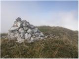 | Planina Kuk - Vrh nad Škrbino (via Škrbina)
Vrh nad Škrbino is the easternmost two-thousandth peak in the ridge of the Lower Bohinj Mountains. From the top there is a very nice view of the ...
3 h 45 min |
 | Ski hotel Vogel - Vrh nad Škrbino
Vrh nad Škrbino is the easternmost two-thousandth peak in the ridge of the Lower Bohinj Mountains. From the top there is a very nice view of the ...
4 h 50 min |
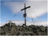 | Prebersee - Roteck
Roteck is a 2742m high peak located north of the Tamsweg in the heart of the Low Tatras. From the summit on which the cross stands, there is a be...
4 h |
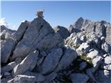 | Dom v Tamarju - Zadnja Ponca / Ponza di Detro
Zadnja Ponca is a 2242m high peak located on the narrow and precipitous Ponc ridge. The summit, which is not accessible to everyone, offers a bea...
4 h |
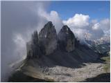 | Piano Fiscalino / Fischleinboden - Monte Paterno (Ferrata De Luca-Innerkofler)
Monte Paterno is a 2744 metre high lookout. The view from the top is spectacular on all sides, with the Tri Cine/Tre Cime to the west standing ou...
4 h 10 min |
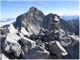 | Rifugio Tolazzi - Monte Capolago / Seekopf
Monte Capolago is a very scenic mountain located on the border between Austria and Itali, directly above Lake Wolayer See. From the top, you have...
3 h 45 min |
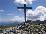 | Jakobe - Feistritzer Spitze (climbing way)
Feistritzer Spitze is a 2113 m high peak located on the Austrian side of Pec. From the top on which the cross stands, you have a beautiful view o...
3 h 45 min |
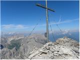 | Lienzer Dolomitenhütte - Große Sandspitze (Ari Schübel)
At 2772 m, Große Sandspitze is the highest peak in the Lienz Dolomites. From the summit, which has a sign-in box, we have a wonderful view of the...
3 h 45 min |
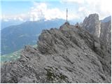 | Lienzer Dolomitenhütte - Laserzkopf
Laserzkopf is a 2718 m high mountain located near the highest peak of the Lienz Dolomites. From the top with a cross, you have a beautiful view o...
3 h 30 min |
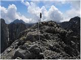 | Lienzer Dolomitenhütte - Galitzenspitzen
Galitzenspitzen is a 2710 m high mountain located in the ridge between the Roter Turm and the highest peak Lienz Dolomites Große Sandspitze. The ...
4 h |
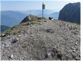 | Lienzer Dolomitenhütte - Große Gamswiesenspitze (Normalweg)
Große Gamswiesenspitze is a 2488 m high mountain located in the heart of the Lienz Dolomites. From the summit, which has a sign-in box, you can e...
3 h 30 min |
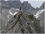 | Lienzer Dolomitenhütte - Kleine Gamswiesenspitze
Kleine Gamswiesenspitze is a steep and sharp mountain located near the larger Große Gamswiesenspitze. The precipitous summit offers a beautiful v...
3 h 30 min |
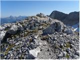 | Sella Nevea - Vrh Krnice
Vrh Krnice is a 2441 m high peak located north-west of Visoki Kanin. From the summit, where the usually empty registration box stands, you can en...
5 h 15 min |
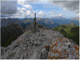 | Alba di Canazei - Colac (path 646)
Colac is a 2715 m high mountain located in the west of the Marmolada mountain group. From the summit on which the cross stands, there is a beauti...
4 h |
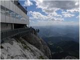 | Türlwandhütte - Hunerkogel
Hunerkogel is a 2685 metre high peak above the Schladminger Glacier. From the top you have a beautiful view of the peaks above the glacier, and y...
4 h |
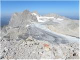 | Türlwandhütte - Kleiner Koppenkarstein (via Hunerscharte)
Kleiner Koppenkarstein is a 2,832-metre-high peak in the Dachstein mountain group. The unremarkable peak is located in the Koppenkarstein ridge, ...
4 h 15 min |
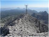 | Türlwandhütte - Großer Koppenkarstein (via Hunerscharte)
Großer Koppenkarstein is a 2865 metre high mountain in the Dachstein mountain group. It is located above the Schladminger Glacier. From the top w...
4 h 50 min |
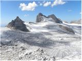 | Türlwandhütte - Kleiner Gjaidstein (via Hunerscharte)
Kleiner Gjaidstein is a 2735 m high peak in the Dachstein mountain group. The peak is located on a ridge between the Schladminger Glacier and the...
4 h 30 min |
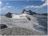 | Türlwandhütte - Hoher Gjaidstein (via Hunerscharte)
Hoher Gjaidstein is a 2,792-metre-high peak in the Dachstein mountain group. The peak is located on a ridge between the Schladminger Glacier and ...
5 h |
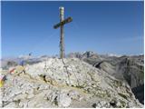 | Colfosco - Sassongher
Cima Sassongher or Sassongher Spitze is a 2,665-metre-high mountain rising steeply above Alta Badia. The mountain is located in the Puez mountain...
3 h 30 min |
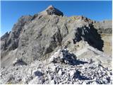 | Ristorante Pietofana - Cima Formenton (via Rifugio Pomedes)
Cima Formenton is a 2830 m high peak in the Tofana mountain group. The mountain is located to the north of the better known Tofana di Dentro, and...
5 h 5 min |
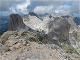 | Passo di Costalunga / Karerpass - Roda di Vael / Rotwand (Via Ferrata Majare)
Roda di Vael (German: Rotwand) is a 2806 metre high mountain in the Catinaccio (Rosengarten) mountain group. The mountain is mainly known for its...
5 h 30 min |
 | Passo di Costalunga / Karerpass - Roda di Vael / Rotwand (via Passo dal Vaiolon)
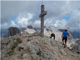
Roda di Vael (German: Rotwand) is a 2806 metre high mountain in the Catinaccio (Rosengarten) mountain group. The mountain is mainly known for its...
4 h |
 | Passo di Costalunga / Karerpass - Cima Latemar / Latemarspitze
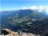
Cima Latemar (also Schenon Latemar, German Latemarspitze) is a 2800 m high peak in the Latemar mountain group. The summit, on which a large cross...
3 h 40 min |
 | Passo di Costalunga / Karerpass - Cima Latemar / Latemarspitze (via Malga Vallace)
Cima Latemar (also Schenon Latemar, German Latemarspitze) is a 2800 m high peak in the Latemar mountain group. The summit, on which a large cross...
3 h 50 min |
 | Rifugio Tolazzi - Pilastro del Coglians (via Rifugio Marinelli)
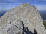
Pilastro del Coglians is a 2750 m high peak located east of Monte Coglians on the border between Austria and Itali. There is also a registration ...
3 h 55 min |
 | Rifugio Padova - Cima Montanel (via Forcella di Crodon)
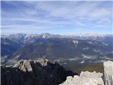
Cima Montanel is a 2,461-metre-high peak overloking the Piave Valley in the Carnioan Pre-Alps. The summit on which the cross is erected is a rema...
4 h 50 min |
 | Pian dei Spiriti - Cima Cadin Nord Est (Via Ferrata Ceria Merlone)
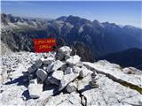
Cima Cadin Nord Est is a 2788 m high peak in the Cadini di Misurina mountain group, east of the Misurina Pass. From the summit there are very fin...
3 h 20 min |
 | Plöckenpass - Creta di Collina / Kollinkofel (path 171)
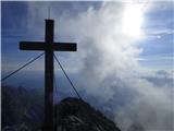
Creta di Collina (German: Kollinkofel) is a 2,691-metre-high mountain in Carnic Alpsah. Several military trails and ruins from the First World Wa...
4 h |
 | Plöckenpass - Creta di Collina / Kollinkofel (via Cresta Verde)
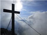
Creta di Collina (German: Kollinkofel) is a 2,691-metre-high mountain in Carnic Alpsah. Several military trails and ruins from the First World Wa...
4 h |
 | Edelweiss - Monte Volaia / Wolayer Kopf (path 176)
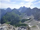
Italian Monte Volaia, German Wolayer Kopf is a 2470 m high peak in the main ridge Carnic Alps west of the highest peak Monte Coglians in the subg...
3 h 45 min |
 | Collina - Monte Volaia / Wolayer Kopf (path 141)
Italian Monte Volaia, German Wolayer Kopf is a 2470 m high peak in the main ridge Carnic Alps west of the highest peak Monte Coglians in the subg...
4 h |
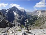 | Capanna Alpina - Vallon Bianco
Vallon Bianco (Valun Blanch in Ladin) is a 2688 metre high peak above the Valle di Fanes and Val Travenanzes. From the top, where a small cross a...
4 h 20 min |
 | Sant'Uberto - Vallon Bianco
Vallon Bianco (Valun Blanch in Ladin) is a 2688 metre high peak above the Valle di Fanes and Val Travenanzes. From the top, where a small cross a...
5 h 5 min |
 | Rifugio Pederü - Vallon Bianco
Vallon Bianco (Valun Blanch in Ladin) is a 2688 metre high peak above the Valle di Fanes and Val Travenanzes. From the top, where a small cross a...
4 h 40 min |
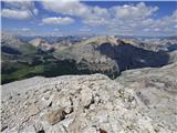 | Capanna Alpina - Furcia Rossa III
Furcia Rossa III is a 2791 m high peak in a slightly more secluded ridge over which the Fridensweg / Via della pace leads. At the top, next to th...
4 h 30 min |
 | Rifugio Pederü - Furcia Rossa III
Furcia Rossa III is a 2791 m high peak in a slightly more secluded ridge over which the Fridensweg / Via della pace leads. At the top, next to th...
4 h 50 min |
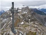 | Maria Waldrast - Lämpermahdspitze (pot preko severnega grebena)
Lämpermahdspitze is a slightly lesser-known mountain, located to the south of the famous and popular Serles. Despite its lower altitude and lower...
3 h 15 min |
 | Axamer Lizum - Marchreisenspitze (Lustige Bergler Steig)
Marchreisenspitze is a beautifully shaped and remotely recognisable mountain and one of the main peaks in the Kalkkögel, the northern bastion of ...
3 h 30 min |