Lepena - Planina Zagreben
Starting point: Lepena (490 m)
| Lat/Lon: | 46,31593°N 13,65404°E |
| |
Time of walking: 2 h 30 min
Difficulty: partly demanding unmarked way
Altitude difference: 750 m
Altitude difference po putu: 770 m
Map: Julijske Alpe - zahodni del 1:50.000
Recommended equipment (summer):
Recommended equipment (winter): ice axe, crampons
Views: 3.014
 | 3 people like this post |
Access to the starting point:
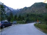
Between Trenta and Bovec, the road to Lepena branches off at the village of Soča. Follow this road, which is fully asphalted, for about three kilometres and then come to a crossroads where the road to the Pretner and Hosner apartments branches off to the right over a bridge. Turn right and park on the roadside in front of the bridge. There is only room for one or two vehicles. There is a slightly larger parking lot about 100 metres further along the main road.
Path description:
From the starting point, cross the bridge and follow the road as it turns left after the bridge. Follow the road until you reach the last house. When the road forks right at the cart track, we continue to the left and descend a little. When you reach the last house, the road ends. Behind the house on the right you will see a narrow lane.
Take the path and after about ten metres you will see a signpost on the side of the path indicating the way to mountain pasture Zagreb. Continue along the path through the forest and you are quickly back at the crossroads. To the right, a path leads to another house, and we continue to the left where we are directed by the sign "Zagreben, Šumnik".
The trail is badly worn for some time, so you should pay attention to the black and red markings that mark the Peace Trail. When two more paths join from the right of the aforementioned house, the path becomes a little better trodden again. The path then passes through the forest along the Šumnik stream for some time. Higher up, the path moves slightly away from the stream, but for a while it still runs parallel to the stream. The trail passes through the forest all the time, so it does not offer much of a view. Later, the path turns right and leads to a crossroads by some ruins.
Here, a path branches off to the left and runs along the valley towards the Čez Potoče saddle. We continue to the right and the path quickly leads us through a short clearing to the World War I memorial. It is about 1:30 walk from the starting point.
From the monument, continue to follow the Peace Trail, which is marked with red and black markings. The trail then crosses the slopes to the west and goes around the ridge from the summit of Konj (1279m) to the summit of Brdo (1520m). The slope we cross becomes quite steep and in a short part we are also helped by a cable car. The route also offers beautiful views of the peaks to the north. A little later there are two serpentines on the path and in a right turn we will come to a slightly less visible crossroads.
Here we leave the Peace Trail, which is marked with red and black markings, and turn left onto a less well-trodden path. At the start of this path there is an arrow carved into a tree on the right-hand side. The path then starts to climb slightly steeper and runs slightly to the left most of the time. A little more care is needed here as the path is not very visible. The path continues to climb and leads us to the deserted and rather overgrown mountain pasture Zagreben. The path leads past the ruins at mountain pasture and then turns right uphill. There is one last climb to the hunting lodge, which can already be seen in front of us.

Pictures:
 1
1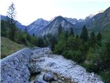 2
2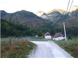 3
3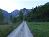 4
4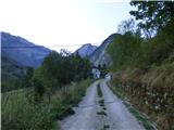 5
5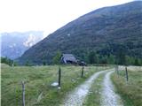 6
6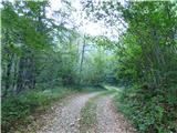 7
7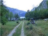 8
8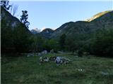 9
9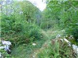 10
10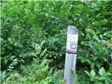 11
11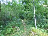 12
12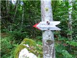 13
13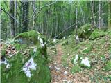 14
14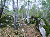 15
15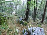 16
16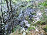 17
17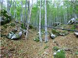 18
18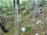 19
19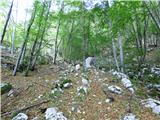 20
20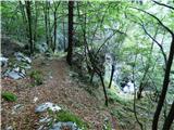 21
21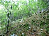 22
22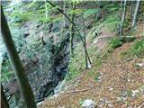 23
23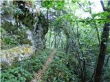 24
24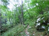 25
25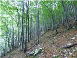 26
26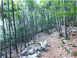 27
27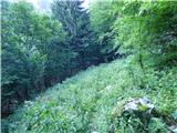 28
28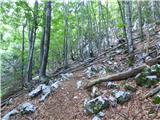 29
29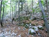 30
30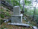 31
31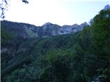 32
32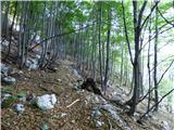 33
33 34
34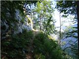 35
35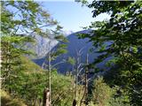 36
36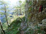 37
37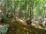 38
38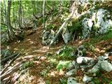 39
39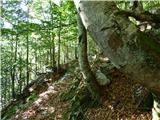 40
40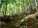 41
41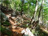 42
42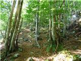 43
43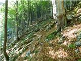 44
44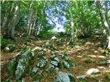 45
45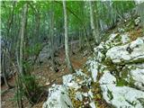 46
46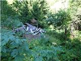 47
47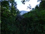 48
48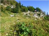 49
49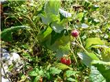 50
50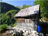 51
51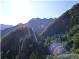 52
52
Discussion about the trail Lepena - Planina Zagreben
|
| ljubitelj gora5. 09. 2018 |
Po tej poti se da tudi na Veliki Lemež. Slika 29 tu se gre naravnost gor v Sleču. Čez Potoče od tu pa v levo po grebenu na Veliki Lemež.
|
|
|
|
| darinka420. 09. 2021 19:21:04 |
Bili smo nedolgo nazaj. Res je vse polno ostalin iz prve svetovne vojne. Do planine je pot lepo sledljiva.
|
|
|