Pod Zjabci - Lanževica (via Lepa Komna)
Starting point: Pod Zjabci (745 m)
| Lat/Lon: | 46,3261°N 13,6982°E |
| |
Name of path: via Lepa Komna
Time of walking: 5 h
Difficulty: easy marked way
Altitude difference: 1258 m
Altitude difference po putu: 1450 m
Map: Julijske Alpe - zahodni del 1:50.000
Recommended equipment (summer):
Recommended equipment (winter): ice axe, crampons
Views: 6.381
 | 1 person likes this post |
Access to the starting point:
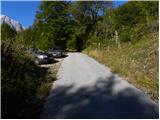
a) First drive to Kranjska Gora, then continue over the Vršič Pass towards Bovec. Shortly after the Berebica Gallery, you will arrive in the village Soča, where you will turn left over the bridge over the Soča River (towards the Jelinčič Tourist Farm and the Korita bivouac). After the bridge, do not turn left towards the bivouac, but continue driving straight ahead on the ascending asphalt road. Continue climbing through vast meadows, in the middle of which stand a few individual huts, and then the road turns into a forest. Higher up, the road turns quite left and leads us to Pod Zjabcev, where we see mountain direction signs for mountain pasture Za skalo, Dom na Komni and Triglav lakes. Park at a suitable place along the road.
b) From the coastal side, first drive to Bovec, then continue driving towards Trenta. Towards the end of the village Soča, turn right in the direction of the Jelinčič tourist farm and the Korita bivouac. After the bridge, do not turn left towards the bivouac, but continue straight on the ascending asphalt road. Continue climbing through vast meadows, in the middle of which stand a few individual huts, and then the road turns into a forest. Higher up, the road turns quite left and leads us to Pod Zjabcev, where we see mountain direction signs for mountain pasture Za skalo, Dom na Komni and Triglav lakes. Park at a suitable place along the road.
Path description:
From Pod Zjabcev, follow the marked trail, which passes the nearby cottage on the right. After the cottages, the path goes into the woods and quickly leads to a small crossroads, where you continue right across the stream. On the other side of the stream, the path turns left and starts to climb moderately through the dense forest. The ascent continues along the old mule track, which is already fairly loaded in several places, but it leads us higher up to a short steep rocky section. A well-maintained and wide mulatier leads us through this part, and the path above this part leads us to a viewpoint from which we have a beautiful view of the Bavški Grintavec.
From the viewpoint, the path returns to the forest and climbs quickly up to an old water trough (there is a small spring along the path, which dries up in dry periods). Above the trough, the path turns slightly left and then climbs through the forest in numerous switchbacks. Higher up, the path bends slightly and leads to a less visible crossroads, where an abandoned path branches off to the left towards mountain pasture Za skalo.
From here we continue straight on, but again a slightly steeper path, after 10 minutes of further walking, leads us to the next, this time completely unmarked crossroads. Here, an unmarked path branches off to the right, leading to a nearby hunting lodge and onwards towards mountain pasture behind Črni vrh, a hunting trail branches off to the left towards mountain pasture behind the rock, and we continue straight on to the next crossroads nearby, which is slightly better marked.
Here we continue straight ahead, or slightly right, along the marked trail in the direction of the Triglav lakes and Komna. Continue along the gently sloping path through the coniferous forest to the fork in the path.
From the fork, continue along the right-hand path in the direction of Komna (Triglav lakes on the left), which bypasses Dol za Bajarjem on the right. On the other side of the valley, the path begins to climb, first gently and then steeply. The steepness quickly subsides, but the increasingly scenic route leads us into a series of small valleys, which we climb steeply up to Oslova škrbina.
From the Oslova stump, the marked trail begins to descend towards the Lepa Komna plateau. During the descent, a few unmarked paths branch off to the right (old military mulatjere, which, if we are heading to Lanževica, shorten the route by a good 20 minutes), and we follow the marked trail, which leads us lower down to a marked crossroads. Here the path continues in a straight line towards mountain pasture at Kraje and on towards Dom na Komni, and we continue in a sharp right in the direction of Lanževice. The way forward ascends through lane to dwarf pines, then leads us into a small valley where the unmarked shortcut mentioned earlier joins us from the right. Continue along the marked path, which turns to the left, and then leads us into the next valley, along and along which we then continue our ascent for some time. Higher up, the path turns slightly to the right and leads to the ridge separating Primorska from Gorenjska.
Once on the ridge, continue to the right (left Bogatinsko sedlo) and continue the ascent along the increasingly scenic, undistinguished ridge path. Higher up, the path climbs steeply a few times, and then, with a view of Krn, the ridge of Špičja, Triglav and other surrounding peaks, leads us to the vast summit of Lanževice.

We can extend the trip to the following destinations: Velika Baba
Pictures:
 1
1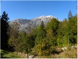 2
2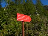 3
3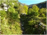 4
4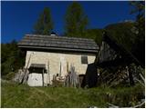 5
5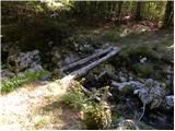 6
6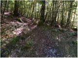 7
7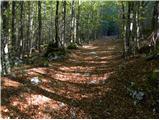 8
8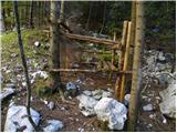 9
9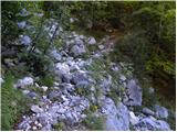 10
10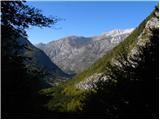 11
11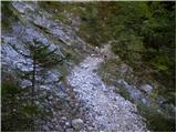 12
12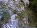 13
13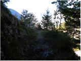 14
14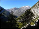 15
15 16
16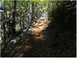 17
17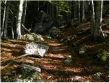 18
18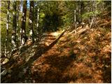 19
19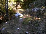 20
20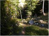 21
21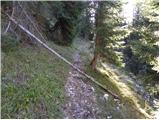 22
22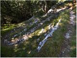 23
23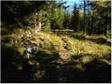 24
24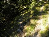 25
25 26
26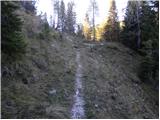 27
27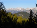 28
28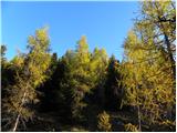 29
29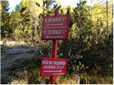 30
30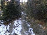 31
31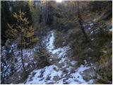 32
32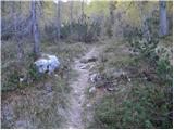 33
33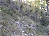 34
34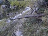 35
35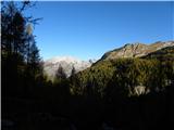 36
36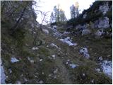 37
37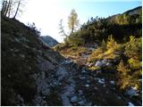 38
38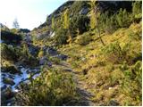 39
39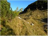 40
40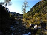 41
41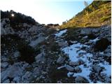 42
42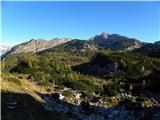 43
43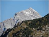 44
44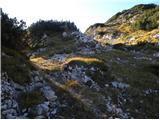 45
45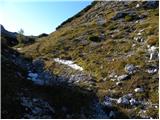 46
46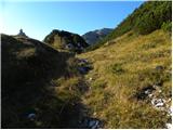 47
47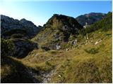 48
48 49
49 50
50 51
51 52
52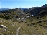 53
53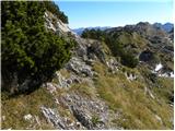 54
54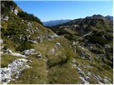 55
55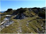 56
56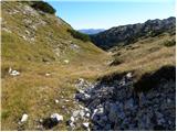 57
57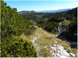 58
58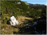 59
59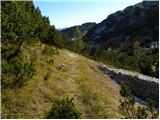 60
60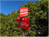 61
61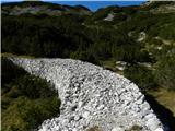 62
62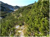 63
63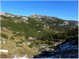 64
64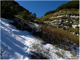 65
65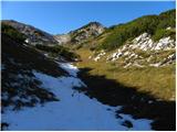 66
66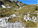 67
67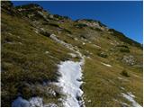 68
68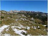 69
69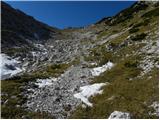 70
70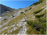 71
71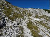 72
72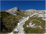 73
73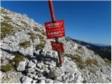 74
74 75
75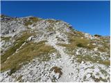 76
76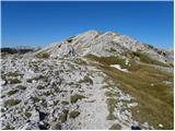 77
77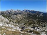 78
78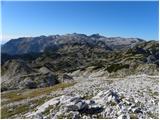 79
79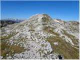 80
80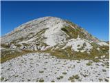 81
81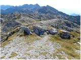 82
82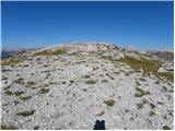 83
83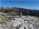 84
84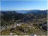 85
85
Discussion about the trail Pod Zjabci - Lanževica (via Lepa Komna)
|
| Zgembo30. 04. 2017 |
A mogoče kdo ve kje se da dobiti žig?
|
|
|
|
| Zvonček1. 05. 2017 |
Žig naj bi bil na vrhu. Če ga več ni, vedo v Domu na Komni.
|
|
|
|
| Zgembo3. 05. 2017 |
Na vrhu ga ni, v domu na Komni tudi ne. Razen če ni v koči pod Bogatinom, vendar se ta še ni odprla.
|
|
|
|
| darinka430. 09. 2020 |
Danes po tej poti . Nameravala sva po Rapalski meji a zaradi obilice snega va se odločila za to pot. Kar dolga je od table Vas na Skali. Sestop po isti poti. Vreme je bilo prav lepo. Na vrhu hladno. Zimske opreme razen gamaš nisva potrebovala.
|
|
|