Mojstrana - Jerebikovec (via slope Na tnalu)
Starting point: Mojstrana (641 m)
| Lat/Lon: | 46,4602°N 13,9451°E |
| |
Name of path: via slope Na tnalu
Time of walking: 2 h 35 min
Difficulty: partly demanding unmarked way
Altitude difference: 952 m
Altitude difference po putu: 952 m
Map: Kranjska Gora 1:30.000
Recommended equipment (summer): helmet
Recommended equipment (winter): helmet, ice axe, crampons
Views: 1.750
 | 3 people like this post |
Access to the starting point:
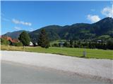
Drive to Mojstrana and follow the signs for the ski slope at the foot of which you park in a marked gravel parking lot. The ski slope is located near the Church of St. Clement.
Path description:
From the parking lot at the foot of the ski slope, initially walk along the asphalt road, and at the crossroads follow the signs for the Radovna, Kot and Krma valleys. When Mojstrana ends, take the first cart track to the left, which turns right into the lane of the forest. At the edge of the hay meadow, which is reached quickly, go left, then before reaching the ski slope, right on the path which continues through the forest. A little further on, crossing the gravel of a torrent, where the track is temporarily lost, but becomes clearly visible again on the other side. When the track approaches the torrent, leave it and follow the remains of a track that runs along the left side of the torrent, which leads us a little further into the torrent. Climb up the stream for a short distance, watching out for unstable rocks, and leave the stream at the larger rock (Fig. 21) and continue up the stream to the right, where a traceable but poorly beaten path quickly appears and begins to climb steeply. Initially climb up a wooded slope, which becomes an indistinct gully higher up, and follow it up to a ridge where the track dips and turns slightly left. There are a few minutes of walking along the ridge, and at a bench overlooking Kepa, you join the usual marked path.
From the bench, continue along the marked path, which climbs steeply up the north-western slopes of Mežakla. Higher up, the slope becomes quite steep, so there is a risk of slipping in places, especially in wet weather. The steep climb reaches an altitude of approximately 1300 metres above sea level, and then the path descends and leads to the edge of the Mažakla plateau, where the NOB (National Liberation) memorial stands.
There is some easy walking, and then we join a minor road in Tilčev rovt (on maps mountain pasture Mežakla), which we start to climb gently to moderately. In a small valley the road turns left, and we leave it just after the bend and continue right on a steep marked footpath in the direction of Jerebikovec. A steep climb follows, and the path gradually leads us to the western ridge of Jerebikovec. Just below the summit, the forest ends and, with beautiful views, we quickly reach the registration box at Jerebikovac. The description and figures refer to the situation in July 2020 and December 2019.

Pictures:
 1
1 2
2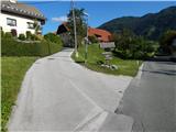 3
3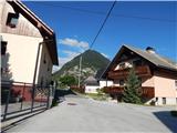 4
4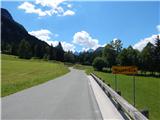 5
5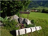 6
6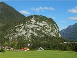 7
7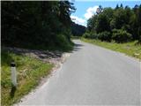 8
8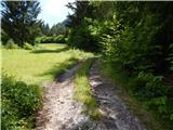 9
9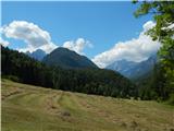 10
10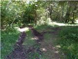 11
11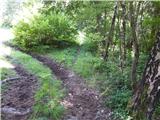 12
12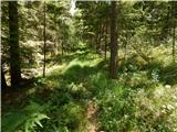 13
13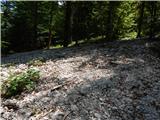 14
14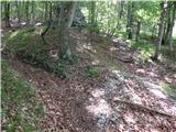 15
15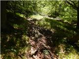 16
16 17
17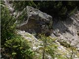 18
18 19
19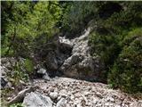 20
20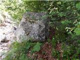 21
21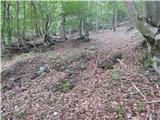 22
22 23
23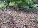 24
24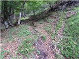 25
25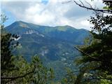 26
26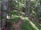 27
27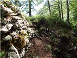 28
28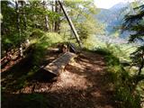 29
29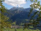 30
30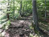 31
31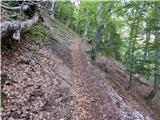 32
32 33
33 34
34 35
35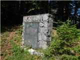 36
36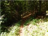 37
37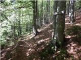 38
38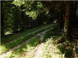 39
39 40
40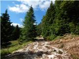 41
41 42
42 43
43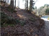 44
44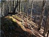 45
45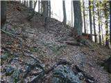 46
46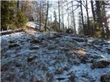 47
47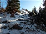 48
48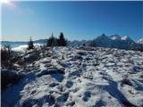 49
49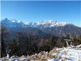 50
50
Discussion about the trail Mojstrana - Jerebikovec (via slope Na tnalu)