End of road on Vogar - Velika Tičarica
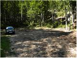
Starting point: End of road on Vogar (1350 m)
| Lat/Lon: | 46,2956°N 13,8412°E |
| |
Time of walking: 3 h 45 min
Difficulty: difficult pathless terrain
Altitude difference: 741 m
Altitude difference po putu: 930 m
Map: TNP 1:50.000
Recommended equipment (summer): helmet
Recommended equipment (winter): helmet, ice axe, crampons
Views: 1.800
 | 1 person likes this post |
Access to the starting point:
From the motorway Ljubljana - Jesenica, take the Lesce exit and follow the road towards Bled and on to Bohinjska Bistrica. Continue towards Bohinjsko jezero (Ribčev laz), at which you will come to a crossroads where you will turn right towards Stara Fužina. At Stara Fužina, at the crossroads by the chapel, turn sharp left onto the ascending road towards mountain pasture Blato, mountain pasture Vogar and the Voja valley. The road leads on to a place where tolls and parking fees are collected, and we follow it on to the next crossroads, where we continue left (right Voje). Follow the road to the next crossroads (take some time), where you continue straight on (sharp right mountain pasture Blato). Follow the road past mountain pasture Vogar and follow it to the parking area at the end of the road.
Path description:
At the parking lot we see the signs for mountain pasture Viševnik, which direct us to the right onto the wide and initially quite steep tractor track logging trail. After a few minutes of steep climbing, logging trail is laid down and then continues through the forest without any major changes in elevation. When logging trail turns to the right, continue straight on the marked footpath, which climbs gently for a short time. When the path becomes steeper, you will see cairn on the left and next to it a path leading to Pršivec (the path later joins the normal path from Vogar), and we continue straight on along the steep mountain path. The way forward climbs steeply for some time through the forest, then it is laid and leads us to the Abyss at Gamsova glavici (the abyss has been explored to a depth of 817 m). Above the abyss, the path turns into an undistinguished and, in the upper part, steeper valley, which ascends to a small pass between Pršivecm (1761 m) on the left and Gornji Viševnik (17022 m) on the right. Here the path completely flattens out and then continues for some time across the pastures of Gornji Viševnik. On the other side, the path returns to the forest and, after a few minutes of descent, leads to mountain pasture Viševnik, in the middle of which stands Bregar's shelter.
From mountain pasture Viševnik continue slightly left (sharp left Pršivec, left Črno jezero, slight right mountain pasture at Jezero past Krištofojce, right mountain pasture at Jezero) on the path in the direction of mountain pasture Ovčarije and the Triglav Lakes. The way forward first ascends crosswise to the left over a steeper slope, and then gradually flattens out and leads us into a flatter world. The route continues south-west of Griva (1758 m) for some time without any major changes in altitude. A little further on, more precisely at the direction signs, an unmarked path continues in a straight direction towards mountain pasture Dedno polje, and we continue sharp left in the direction of mountain pasture Ovčarije. From the direction signs the path descends slightly, then turns right and continues for some time along a sort of contour or sink. On the other side of the conte the path begins to climb moderately again, then it lays down and leads to the shepherds' tents at mountain pasture Ovčarija. Continue between the huts along the marked mountain path, which begins to descend moderately. Slightly lower down, the path leads us past a few more huts, and then, within a few minutes of further walking, it leads to a place where it joins the wider path with mountain pasture Dedno polje. Here we continue to the left and in a few steps we reach the next crossroads.
The trail continues straight ahead towards Koča pri Triglavskih jezerih - via Prodov, and we continue to the right in the direction of the trail via Štapc. The trail then climbs, first gently and then moderately, through a valley of sorts between Rušnata glava on the left and Bela glava on the right. Higher up, the path becomes a little steeper, and then it lays down and leads us to a marked crossroads at Štapce.
At Štapce continue slightly right in the direction of Tičarice and Zelnarice (slightly left Koča pri Triglavskih jezerih) and continue the ascent along the path which first climbs through the dwarf pines zone, then leads to a short steep and especially in the wet dangerous for slipping jump. Above the jump, the path lays down and passes onto moderately steep grassy slopes, which are ascended in a few minutes' further walking to a small saddle where a marked path branches off to the left to Little Tičarica.
Continue in the direction of Zelnarice along a relatively steep path which first crosses the slopes of Mala Tičarica and then Velika Tičarica. Only a few 10 m after the sign "Do not pick flowers!" (inscription on the wall), leave the marked trail and continue up the path to the left, following the pathless path. Climb up the grassy slope towards the ridge. In the upper part of the ascent towards the ridge, the slope becomes quite steep and also dangerous for slipping. Great care is needed on this short part of the climb.
When you reach the ridge, continue left and soon reach the summit on a slightly less demanding slope.
Starting point - mountain pasture Viševnik 1:20, mountain pasture Viševnik - Ovčarija 50 minutes, Ovčarija - Velika Tičarica 1:35.

Pictures:
 1
1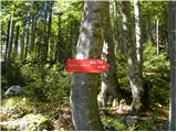 2
2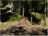 3
3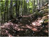 4
4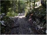 5
5 6
6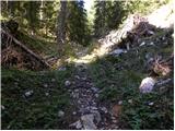 7
7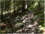 8
8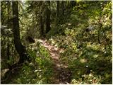 9
9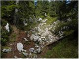 10
10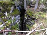 11
11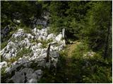 12
12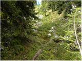 13
13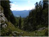 14
14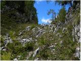 15
15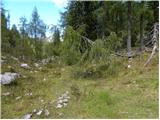 16
16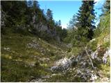 17
17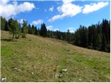 18
18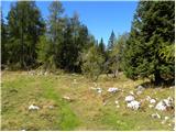 19
19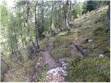 20
20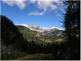 21
21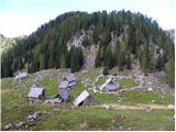 22
22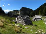 23
23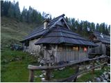 24
24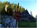 25
25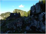 26
26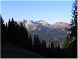 27
27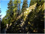 28
28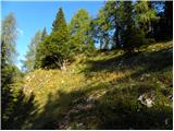 29
29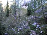 30
30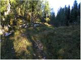 31
31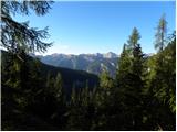 32
32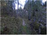 33
33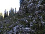 34
34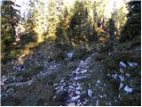 35
35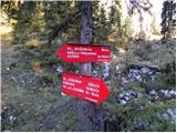 36
36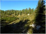 37
37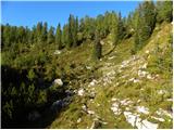 38
38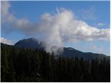 39
39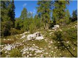 40
40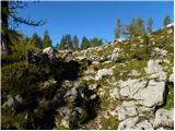 41
41 42
42 43
43 44
44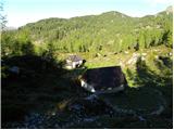 45
45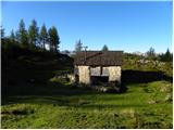 46
46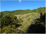 47
47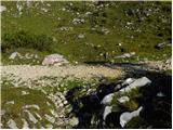 48
48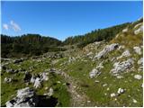 49
49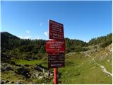 50
50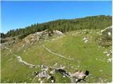 51
51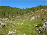 52
52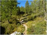 53
53 54
54 55
55 56
56 57
57 58
58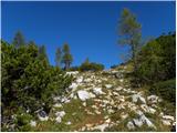 59
59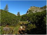 60
60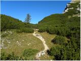 61
61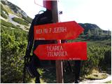 62
62 63
63 64
64 65
65 66
66 67
67 68
68 69
69 70
70 71
71 72
72 73
73 74
74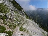 75
75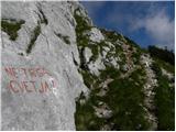 76
76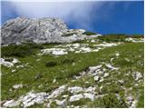 77
77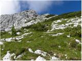 78
78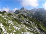 79
79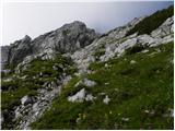 80
80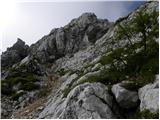 81
81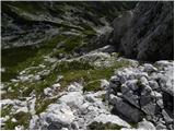 82
82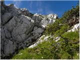 83
83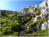 84
84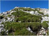 85
85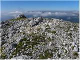 86
86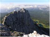 87
87
Discussion about the trail End of road on Vogar - Velika Tičarica