The Kot Valley - Begunjski vrh
Starting point: The Kot Valley (950 m)
| Lat/Lon: | 46,4157°N 13,8977°E |
| |
Time of walking: 4 h 30 min
Difficulty: partly demanding marked way
Altitude difference: 1511 m
Altitude difference po putu: 1511 m
Map: Triglav 1:25.000
Recommended equipment (summer):
Recommended equipment (winter): ice axe, crampons
Views: 27.502
 | 3 people like this post |
Access to the starting point:
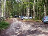
Leave the Gorenjska motorway at the Hrušica exit and follow the road towards Kranjska Gora. Just before the village of Dovje, the road branches off to the left and leads to Mojstrana (Vrata, Kot and Krma). Follow the road in the direction of the village of Radovna and the valleys of Krma and Kot. The relatively steep road then leads us past the TNP signboard, after which the road soon lays down and leads us to a crossroads where a dirt road branches off to the right into the Kot valley (straight ahead to Radovna and Krma). This sometimes slightly worse road is then followed to a parking area, where you will also see mountain signs.
Path description:
From the starting point, continue along the worse road, which after a few minutes leads to a turning point (parking here is not recommended). The path ahead turns slightly left and crosses a torrent. On the other side of the torrent, we climb steeply through the forest for some time. After half an hour's walking, the path starts to climb. There are a few dozen steps of walking on a steep path, where we are helped by wedges, which are not strictly necessary in dry conditions. The steepness then eases and the path leads us to a small spring (dries up in the dry season) at 1340m. Here an unmarked path branches off to the left to Macesnovec, and we continue on the marked path that crosses the torrent. There is a short steep section where we are helped by a rope ladder (not difficult). The path then crosses the lane of dwarf pines and climbs higher up on rockier slopes, where we see the Thick Stone (a large boulder visible at the top of the slope). We climb up to the Thick Stone on a rough path surrounded by the dwarf pines path (not difficult). Next, the path climbs up along a small scree slope and turns slightly higher to the right, where it leads to a crossroads. Continue left in the direction of Stanič's home and Rjavina (to the right of Vrbanove Špice, a very difficult path). The steepness then eases and there are a few minutes of easy walking to the next crossroads. Continue on the right path towards Stanič's home, passing the Pekel sinkhole, which can be seen on the right below us (the path to the left leads to Rjavina on the climbing route). Continue climbing steeply up to Stanič's home, which offers a beautiful view of Triglav.
From the house continue right in the direction of Begunjski vrh, Visoka Vrbanova špica and Cmira. After a few minutes of further walking, the rather gently sloping path leads us to the Begunjski Preval, where the path to Vrbanove špice branches off to the right. Continue straight on the path, which son splits into two parts. Here, turn left in the direction Begunjski vrh (the path leads straight on to Cmir) on a path that climbs crossways over rocky slopes. The path then turns slightly right and climbs steeply along the top ridge of Begunjski vrh. Follow this increasingly scenic path to the summit.
Kot - Staničev dom 4:00, Staničev dom - Begunjski vrh 30 minutes.

Pictures:
 1
1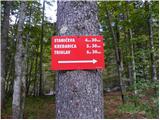 2
2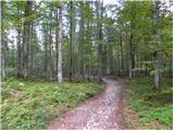 3
3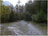 4
4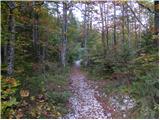 5
5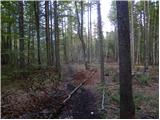 6
6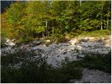 7
7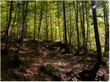 8
8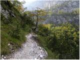 9
9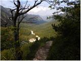 10
10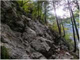 11
11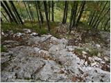 12
12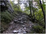 13
13 14
14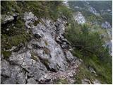 15
15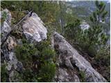 16
16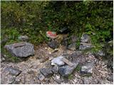 17
17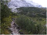 18
18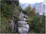 19
19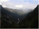 20
20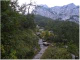 21
21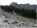 22
22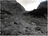 23
23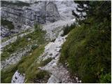 24
24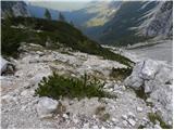 25
25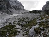 26
26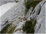 27
27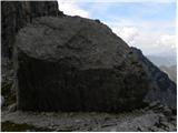 28
28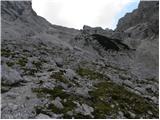 29
29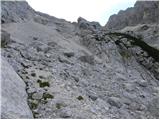 30
30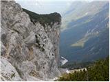 31
31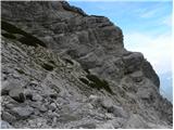 32
32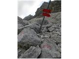 33
33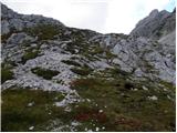 34
34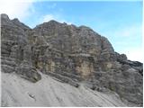 35
35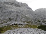 36
36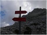 37
37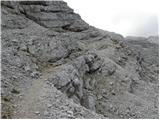 38
38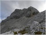 39
39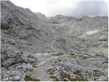 40
40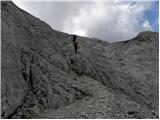 41
41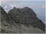 42
42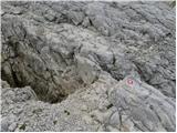 43
43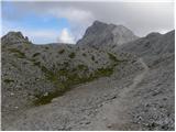 44
44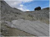 45
45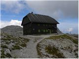 46
46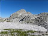 47
47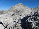 48
48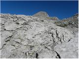 49
49 50
50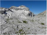 51
51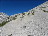 52
52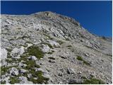 53
53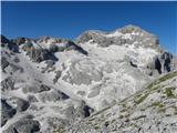 54
54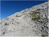 55
55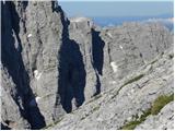 56
56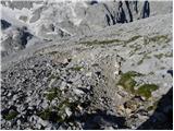 57
57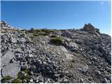 58
58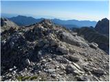 59
59 60
60 61
61
Discussion about the trail The Kot Valley - Begunjski vrh
|
| Guest24. 08. 2006 |
na vrhu je vredno pričakati vzhod in zahod nepozabno
|
|
|
|
| Virenque6. 08. 2008 |
Kje je ta pot zahtevna? Vsaj po slikah sodeč ni. Naj se poti zares ocenjuje tako, da bo opis čim bolj točen.
|
|
|
|
| Kriška7. 08. 2008 |
Pa menda ja ne sodiš poti po nekaj objavljenih fotografijah?   Že dejstvo, da imaš na poti v pomoč kline in jeklenice, ti lahko pove, da ne gre za povsem enostavno "sprehajalno pot". Tudi pogled v kakšen planinski vodnik, kjer si lahko prebereš klasifikacijo planinskih poti, ne bo odveč. Sicer pa mislim, da je bolje napisati "zahtevno", kot "nezahtevno", če smo le malo v dvomih, saj bi se morda lahko kdo preveč zanašal na oznako "nezahtevno" in bil potem neprijetno presenečen.
|
|
|
|
| pelican3. 11. 2013 |
Lepa in osamljena pot iz doline Kot. Nazaj grede po gmajni ze kar mal adrenalinska po mastnih skalah s kombinacijo ozke in mestoma prepadne strme potke. V suhem je verjetno cist ok... 1.11. srecali sele od koce proti vrhu 2 planinca. Lep dan, lepi razgledi, pa se hitro si gor.
|
|
|