Rebrca / Rechberg - Rokov vrh / Rochusberg
Starting point: Rebrca / Rechberg (602 m)
| Lat/Lon: | 46,527°N 14,5772°E |
| |
Time of walking: 40 min
Difficulty: easy marked way
Altitude difference: 278 m
Altitude difference po putu: 280 m
Map: Karavanke - osrednji del 1:50.000
Recommended equipment (summer):
Recommended equipment (winter): ice axe, crampons
Views: 428
 | 1 person likes this post |
Access to the starting point:
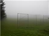
a) Take the Border crossing Ljubelj road into Austria, then turn right at Podljubelj / Unterloibl in the direction of the Hofer store. When you arrive in Borovlje / Ferlach, turn left at the junction a little after the railway line (there is a Eurospar shop to the right of the junction), and at the next junction, after a few 100 metres, turn right in the direction of Železna Kaple / Bad Eisenkappel. Towards Železna Kapla, drive to Jeriše / Jerischach, and after Jerischach, turn right at the crossroads towards Podkraj / Unterort (left Goritschach). At the small crossroads in the middle of Podkraj, continue left, and then start climbing up to a small pass, at which there is a crossroads and a chapel. Continue straight on here for a short distance and you will arrive in the village of Rebrca / Rechberg, where you will park in a parking lot next to a grassy football pitch.
b) Cross the Border crossing Jezerski vrh into Austria, then after Železna Kaplo turn slightly left onto the road towards Rebrca / Rechberg. Follow the road quickly up to the village and turn left at the crossroads in the middle of the village. Park in the parking lot next to the football field.
c) Drive into Podjuna, then follow the signs for Železna Kapla / Bad Eisenkappel. After Miklavčevo / Miklauzhof, leave the road towards Železna Kapla and turn right towards Klagenfurt / Klagenfurt and Borovlje / Ferlach. Continue along the main road towards Borovlje, but we don't follow it for long, as the signs for Podkraj / Unterort direct us left onto a slightly narrower road. At a small crossroads in the middle of Podkraj, continue left and then start climbing up to a small pass with a crossroads and a chapel. Continue straight ahead for a short distance and you will arrive in the village of Rebrca / Rechberg, where you will park in a parking lot next to a grassy football pitch.
Path description:
At the starting point, the signs for Rokov vrh direct you to a side road, which leads quickly up to the church and cemetery in Rebrca. Go around both on the left and then, after the shed, continue on the footpath, which mostly continues through the forest. After a few minutes of mostly moderate ascent, the path splits, and we take the upper right path (straight Setzhube). There are a few minutes of steep ascent, and the path flattens out when we reach cart track, after which we continue to the crossroads without any major changes in altitude.
From the crossroads go right, initially slightly downhill, and then follow cart track, which crosses the slopes to the right. When the cart track ends, continue along the steeper mountain path again, which is joined just below the summit by the path past the Bukovnik homestead.
Go right here and in a few steps you will reach the panoramic Rokov vrh.
Description and pictures refer to the situation in 2017 (September).
Pictures:
 1
1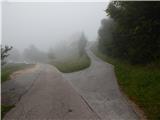 2
2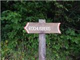 3
3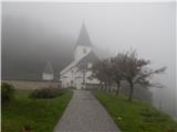 4
4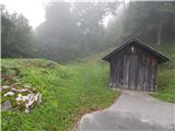 5
5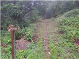 6
6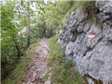 7
7 8
8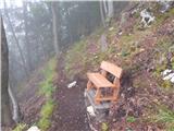 9
9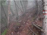 10
10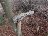 11
11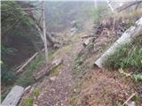 12
12 13
13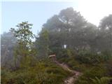 14
14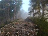 15
15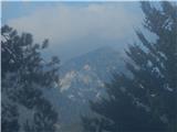 16
16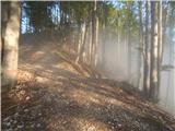 17
17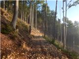 18
18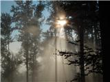 19
19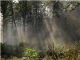 20
20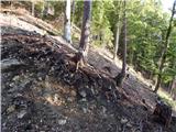 21
21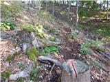 22
22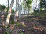 23
23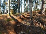 24
24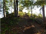 25
25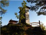 26
26 27
27
Discussion about the trail Rebrca / Rechberg - Rokov vrh / Rochusberg