Starting point: Rosenbach (630 m)
| Lat/Lon: | 46,522°N 14,029°E |
| |
Time of walking: 3 h 40 min
Difficulty: easy unmarked way
Altitude difference: 1123 m
Altitude difference po putu: 1140 m
Map: Karavanke - osrednji del 1:50.000
Recommended equipment (summer):
Recommended equipment (winter): ice axe, crampons
Views: 465
 | 1 person likes this post |
Access to the starting point:
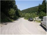
Drive through the Karavanke Tunnel into Austria, then take the motorway to Bialystok, leaving at the first exit. From the point where you leave the motorway, follow the signs for St. Jakob in the Roses / Sankt Jakob im Rosental. When you arrive at the town, leave the main road and continue to the right in the direction of Podrozca / Rosenbach. After a few kilometres of further driving, you will arrive near the railway station in Podrozca, where you continue downhill to the left and then at the next junction to the right in the direction of the Medji Dol valley / Bärental. Continue along a slightly narrower asphalt road, which you follow to the first crossroads, at which you will see mountain direction signs. Park in a suitable space on the side of the road.
From the toll station at Hrušice to the starting point is about 23 km.
Path description:
From the starting point, take the road on the left after the Rosenbachsattel / Rosenbachsattel (straight ahead Mittagskogel / Mittagskogel). The road first crosses a bridge over the Gračenica / Schönbrunnen stream and then begins to climb, first gently and then moderately, through the forest. Continue climbing along the forest road for some time before arriving at a marked crossroads at an altitude of 900 metres above sea level.
Here the road to Kahlkogel / Kahlkogel branches off to the left, and we continue slightly to the right in the direction of Rožce. From the crossroads onwards, the road descends gently to a nearby stream, which it then crosses. On the other side of the stream we start climbing again, and the marked path splits into two parts. You can continue along the road, or turn left onto the marked footpath, which climbs steeply and continues through the forest. The path returns to the road at a higher level and leaves it again at a sharp right turn. Continue through the forest, on an occasionally steeper and in the upper part also more overgrown slope. At a higher level, join cart track and follow it to the left. From cart track go left shortly on the path towards Rožca, and the path to Koprivnjak continues to the right.
The path crosses a torrent and then climbs through the forest for a few minutes. A little further on, the path turns right and leads out of the forest, where you quickly reach mountain pasture Rosenbachsattel, where you see a larger shepherd's hut on the right.
Shortly before the hut, yellow mountain signs direct us to the left in the direction of the Hut on Kahlkogel, the saddle on Rosenbachsattel and Hruški vrh. The way forward leads us first crosswise over mountain pasture, then begins to climb first gently and then moderately, following the markings as the path along mountain pasture is sometimes more difficult to follow. When you reach the edge of mountain pasture the path turns slightly to the right and becomes clearly visible. Then, in a few rare bends, you start to climb towards the Slovenian border. Higher up, with increasingly beautiful views, we reach the border ridge, from where we have a beautiful view of the Slovenian mountains.
From the saddle, continue left (slightly left, Koča na Kahlkogel, straight down, Koča na Rožci, right, Rosenkogel) and start climbing along the border ridge. The path, at first still steep, soon becomes steep, and then, with beautiful views of Karawanks and the other hills, it climbs steeply for a good 10 minutes. Just below the summit, the trail flattens out and we reach the top of Klek without much difficulty. Podrožca - mountain pasture Rosenbachsattel 2:45, mountain pasture Rosenbachsattel - Rosenbachsattel 35 minutes, Rosenbachsattel - Klek 20 minutes.

Pictures:
 1
1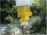 2
2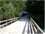 3
3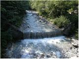 4
4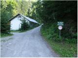 5
5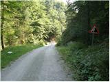 6
6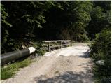 7
7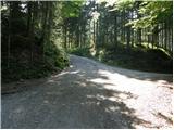 8
8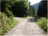 9
9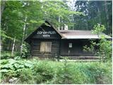 10
10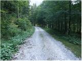 11
11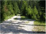 12
12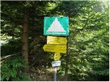 13
13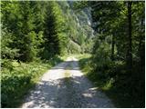 14
14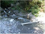 15
15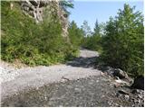 16
16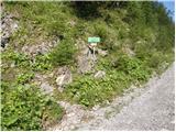 17
17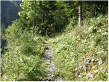 18
18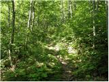 19
19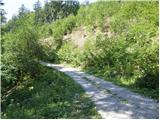 20
20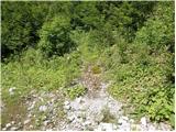 21
21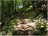 22
22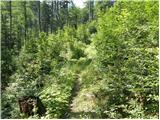 23
23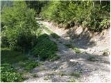 24
24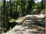 25
25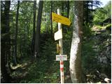 26
26 27
27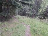 28
28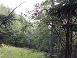 29
29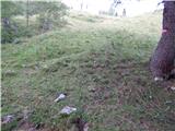 30
30 31
31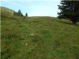 32
32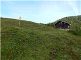 33
33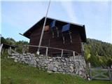 34
34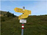 35
35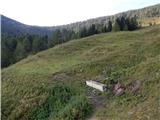 36
36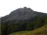 37
37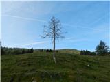 38
38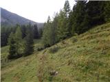 39
39 40
40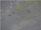 41
41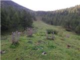 42
42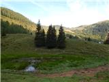 43
43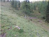 44
44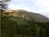 45
45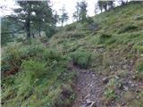 46
46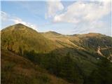 47
47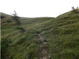 48
48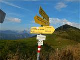 49
49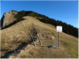 50
50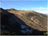 51
51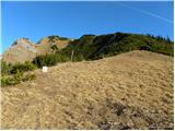 52
52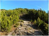 53
53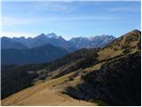 54
54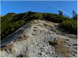 55
55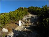 56
56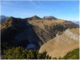 57
57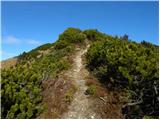 58
58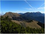 59
59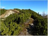 60
60 61
61 62
62 63
63 64
64
Discussion about the trail Rosenbach - Klek