Zgornje Poljčane - Dom na Boču (Zg .Poljčane - Dom na Boču - Koča Velikonočnica)
Starting point: Zgornje Poljčane (360 m)
| Lat/Lon: | 46,2971°N 15,5834°E |
| |
Name of path: Zg .Poljčane - Dom na Boču - Koča Velikonočnica
Time of walking: 1 h 20 min
Difficulty: easy marked way
Altitude difference: 338 m
Altitude difference po putu: 300 m
Map: Posavsko hribovje Boč - Bohor 1:50.000
Recommended equipment (summer):
Recommended equipment (winter):
Views: 3.709
 | 2 people like this post |
Access to the starting point:
a) From the route of Ljubljana, leave the motorway at Slovenske Konjice and drive through Žič, Loč and Zbelovo to Poljčane. At the crossroads, turn right in the route Zgornje Poljčane, where at the marked crossroads turn left uphill and drive to the parking area - the starting point for the mountain trails to Boč.
b) From Maribor, leave the motorway at Slovenska Bistrica, where signs point to Poljčane. Continue through the centre of Poljčane in the route Zgornje Poljčane, where you turn left at a marked junction and drive up to the parking lot - the starting point for the hiking trails to Boč.
Path description:
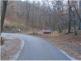
From the parking lot, continue up the asphalt road. Meadows, pastures, vineyards and three or four houses or farmhouses line the road for a few hundred metres. At the end of Zgornje Poljčane, the road turns into a forest, and we follow the asphalt all the way to the mountain lodge at Boč.
From the mountain lodge we continue in the direction of the Church of St Nicholas and before the church we turn right downhill towards the Easter-eyed Susan. Walk under the 782 m high Drevenik mountain, which is on the left above the path. At the Easterberry plantation, take a short tour and continue to the left, also a direction sign to help you. Follow the pleasant forest road slightly to the right twice. Also a pleasant plateau with a few cottages and the Drevenik water reservoir on the left above the path. A short continuation along a slightly narrower road and soon reach Planinska koča Velikonočnica at 550 metres.
The length of the route described is about 4800 metres, 300 positive vertical metres and 110 negative vertical metres.

Pictures:
 1
1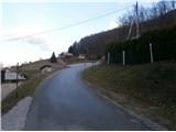 2
2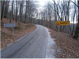 3
3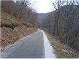 4
4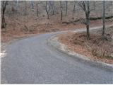 5
5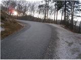 6
6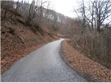 7
7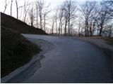 8
8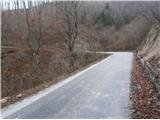 9
9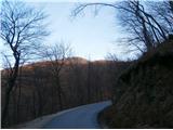 10
10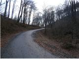 11
11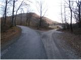 12
12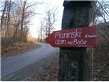 13
13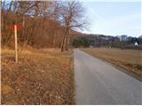 14
14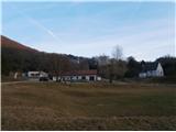 15
15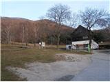 16
16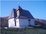 17
17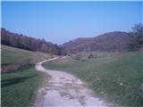 18
18 19
19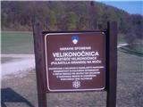 20
20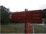 21
21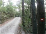 22
22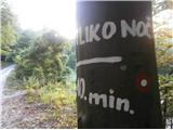 23
23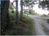 24
24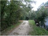 25
25 26
26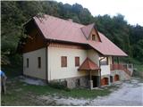 27
27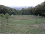 28
28 29
29
Discussion about the trail Zgornje Poljčane - Dom na Boču (Zg .Poljčane - Dom na Boču - Koča Velikonočnica)