Slovenske Konjice - Stolpnik (Zmajčkova pot)
Starting point: Slovenske Konjice (333 m)
| Lat/Lon: | 46,3372°N 15,4204°E |
| |
Name of path: Zmajčkova pot
Time of walking: 1 h 45 min
Difficulty: easy marked way
Altitude difference: 679 m
Altitude difference po putu: 679 m
Map:
Recommended equipment (summer):
Recommended equipment (winter):
Views: 14.187
 | 3 people like this post |
Access to the starting point:
From the Ljubljana - Maribor motorway, take the Slovenske Konjice exit and follow the road to the point. In the centre of Slovenske Konjice, leave the main road (continue left) and head towards the church, near which you will park in a large marked parking lot.
Path description:
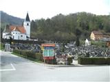
From where you parked, you first need to get to the cemetery, which is located slightly above the town (you can also park next to the cemetery). From the cemetery, go right (straight ahead past the old castle) and initially walk along the cemetery. When you reach the woods, "our" path turns slightly right downhill (if you had continued straight ahead, you would also have come back to the marked path). When the descent ends, you reach an interesting waterfall, and a footbridge takes you to the other side of the stream. Just above the footbridge, we return to the road we left earlier, and we follow it to the right. At the next bend, continue left, and then the path returns to the forest, where it becomes quite steep and almost difficult. Wooden steps help us for a while, but then the path turns right and becomes a transitional lay. Higher up, we cross a forest road, and the path becomes rockier and the forest thins out for a short while. When the path returns to the dense mixed forest, it becomes very steep again and at one point we are again helped by wooden steps and this time a wooden fence. Higher up, the path flattens out and leads to a well-maintained and wide macadam road.
The next part of the route is a little less interesting, as we will be walking along a dirt road for about 20 minutes, from which we will occasionally get a view of Zreče and Pohorje. Further on, the road leads us to the crossroads Grofov štant, where we join other paths from Slovenske Konjice and also the path from Kamna gora and Stranice.
Continue in the direction of Stolpnik along the rough cart track, which occasionally climbs quite steeply. When the path is higher, we are only about 15 minutes of gentle ascent away from the summit and a short steep section just below the summit.
From the top, you can climb up to the lookout tower, which offers a beautiful view on all sides.

We can extend the trip to the following destinations: Stolpnik
Pictures:
 1
1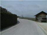 2
2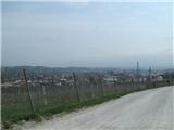 3
3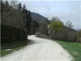 4
4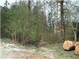 5
5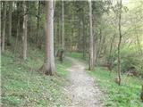 6
6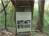 7
7 8
8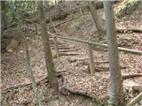 9
9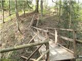 10
10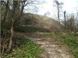 11
11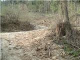 12
12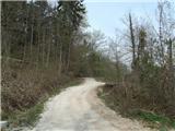 13
13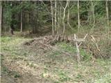 14
14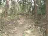 15
15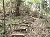 16
16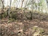 17
17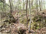 18
18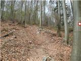 19
19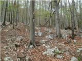 20
20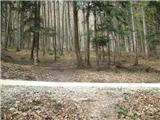 21
21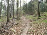 22
22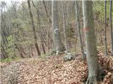 23
23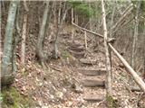 24
24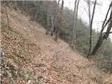 25
25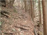 26
26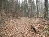 27
27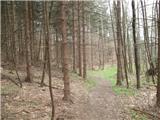 28
28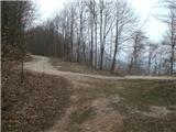 29
29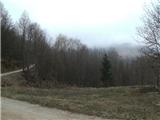 30
30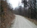 31
31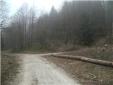 32
32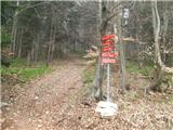 33
33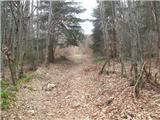 34
34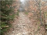 35
35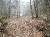 36
36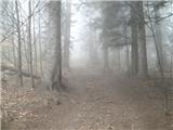 37
37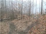 38
38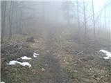 39
39 40
40 41
41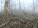 42
42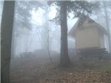 43
43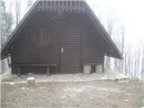 44
44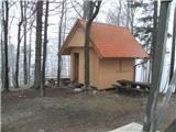 45
45 46
46
Discussion about the trail Slovenske Konjice - Stolpnik (Zmajčkova pot)
|
| pohodnik3815. 02. 2015 |
V soboto 14.februarja pohod na vrh Konjiške gore-Stolpnik....pot je lepa,malo blatna in tudi poledenela ponekod pa vse eno lepo čeravno ni bilo tokrat razgledov. SLIKE Lp! Tone 
|
|
|
|
| Marx14. 06. 2015 |
Trasa poti je rahlo izmenjena! Zdaj na Grofovem štantu (slika 33) več ne gremo čez skalnato grapo. Puščice nas napeljaju na pot ki je nekaj bolj desno (zahod) in ta ger paralelno z grapom. Na poti smo spet okrog slike 37. Mogoče je , seveda , tudi čez grapo , ampak na ti novi varianti je podlaga precej manj zahtevna.
Tudi podrti drves z slike 38 je končno izginil...
|
|
|
|
| anazala24. 03. 2020 |
Zmajčkova pot je zanimiva. Tisti potoček najbolj in stopnice. Lepo nadelane. Lahka pot za vsakogar. V tem času pojdite v hribe, le s previdnostjo ---2 m razlike med osebami. Pa masko tudi imejte s sabo. Preventiva je pomembna. Ljudi se srečuje in ne veš, kdo bo v tebe pihnil in kihnil.
|
|
|