Kisapati - Szent Gyoergy Hegy
Starting point: Kisapati (130 m)
| Lat/Lon: | 46,844°N 17,466°E |
| |
Time of walking: 45 min
Difficulty: partly demanding marked way
Altitude difference: 285 m
Altitude difference po putu: 285 m
Map:
Recommended equipment (summer):
Recommended equipment (winter):
Views: 2.212
 | 1 person likes this post |
Access to the starting point:
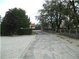
From the Pomurje motorway, take the Dolga Vas exit and then continue to Hungary. The route ahead takes you through Redics, then follow signs for Zalaegerszeg, and from there towards Lake Balaton, Heviz and Keszthely. When you reach Keszthely, turn onto the bypass and follow the signs for Balatonfuered (there are roundabouts along the bypass). At the end of Keszthely, when the road to Sopron turns off, we continue east, but only for 2 km, and then turn right towards the village of Badacsonytoerdemic. Continue through the village (the road is cobbled in the middle of the village) and you reach Nemesgulacs. In the village, go left towards Kisapati. In Kisapati, turn left onto a less visible road between the school and the cemetery. Park in the parking lot between the school and the cemetery.
A slightly shorter route is Lendava - Pince - Tornyszentmiklos - Nagykanizsa - Budapest / Budapest - Kisapati, but it is much more difficult in terms of orientation.
Path description:
From the parking lot, continue west and the road splits into three parts. Continue on the middle road (sorry, I didn't manage to get a picture of the junction) marked Green Line. The road ahead starts to climb quite steeply between vineyards and follows the eastern slope of the former volcano. After 10 minutes, you reach a crossroads, from where you continue further north on a more winding path. The path narrows further and then passes a ditch to reach an asphalt road. Here the signs disappear and we walk up to a crossroads where there is a sign in German and Hungarian. At this crossroads, turn right and follow the road for only 30 metres, then continue along a narrow path, along which you will see the following tourist signs. The path continues from the flower garden towards the nearby forest, through which you walk for only a minute or so, before arriving at a minor road, where the markings reappear. The road then climbs and leads you in 2 minutes to the Kulcsoshaz Inn, which is essentially a mountain hut.
From the hut we continue upwards and follow the blue path towards (until now the route marking has been green, but from here on it passes to the western slopes, the blue one comes from Tapolca).
From here the path becomes quite steep and continues on rocks and scree. Further on, we climb up some steps, which are occasionally protected by a fence. Higher up, we reach the most interesting part of the trail for many, the 12-metre-high basalt stalactites. Here, the trail becomes even more challenging, and we are helped by an iron fence. When the fixed safety gear ends, the path leads us between smooth walls where there is a risk of slipping. Above this difficult part, we reach a crossroads where the path to the viewpoint to the north (Tapolca and Somlo in the distance) branches off, and we continue along the gently sloping path, which in 5 minutes of further walking takes us to a small hut with a registration book (so far the only registration book I have seen in the Hungarian hills, and I have walked quite a few of them).
From here, the blue trail goes down, and we follow the blue triangle to the right. The trail then takes us past a few benches where we can rest for a bit, and then we quickly arrive at a lookout point, which offers a nice view of the former volcanoes and Lake Balaton. From here, continue another 2 minutes to the right and you will reach the top. There is an information board at the top with the views. The view from the top is on all sides, except to the north, where it is obscured by the forest. In very good visibility, you can also see Boč and Donačko Mountain from the top.

Pictures:
 1
1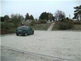 2
2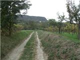 3
3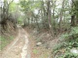 4
4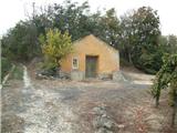 5
5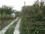 6
6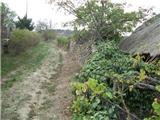 7
7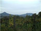 8
8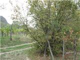 9
9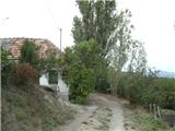 10
10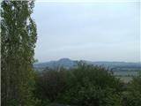 11
11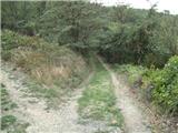 12
12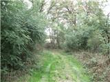 13
13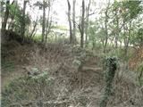 14
14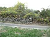 15
15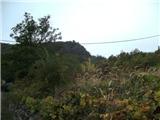 16
16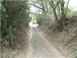 17
17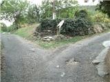 18
18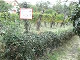 19
19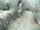 20
20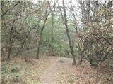 21
21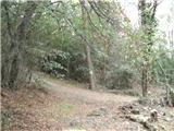 22
22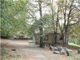 23
23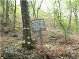 24
24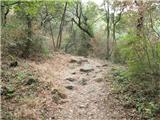 25
25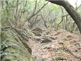 26
26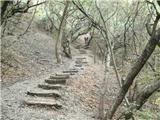 27
27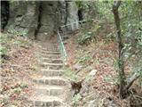 28
28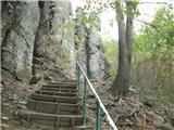 29
29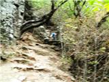 30
30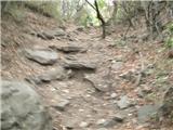 31
31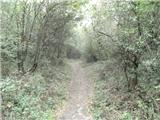 32
32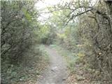 33
33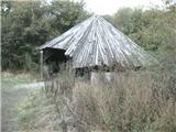 34
34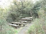 35
35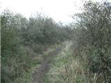 36
36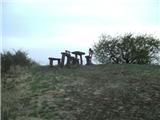 37
37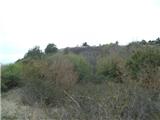 38
38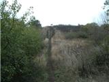 39
39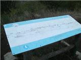 40
40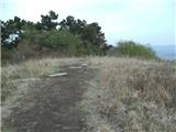 41
41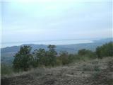 42
42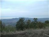 43
43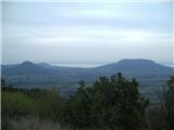 44
44
Discussion about the trail Kisapati - Szent Gyoergy Hegy