Matrafuered - Kékestető (Marijina pot)
Starting point: Matrafuered (350 m)
| Lat/Lon: | 47,8276°N 19,9712°E |
| |
Name of path: Marijina pot
Time of walking: 2 h
Difficulty: easy marked way
Altitude difference: 664 m
Altitude difference po putu: 664 m
Map:
Recommended equipment (summer):
Recommended equipment (winter):
Views: 4.208
 | 1 person likes this post |
Access to the starting point:
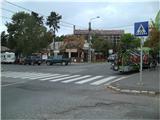
From Budapest, head east on the motorway towards Nyiregyhaza. After about 90 kilometres, leave the motorway at the Gyoengyoes/Matrafured exit. Continue into Gyoengyoes, then at a marked junction continue north towards Matrafuered. When you arrive in the town, turn left into the first street (Beke ut) and park.
Path description:
From the starting point, walk first to the main crossroads in Matrafuered, and from there follow the road leading to Kekes Peak. Walk along the main road for about 200 metres and then turn left onto Akademia ut, where the first markings appear (for the first hour and a half, they are in the form of a white rectangle with a red line with an 'm' underneath). A little further on, Akademia ut splits in two, and we continue along a road slightly to the left and then left down steps into the forest. Here, a path with yellow markings soon branches off to the left, leading to the artificial lake Sasto (Orlovsko jezero), which is located slightly above the village of Matrafuered. Continue along the fence and after a few minutes you will reach the shrine with the statue of St Mary. Here, another path branches off to the left to Lake Sasto, and we continue on, first along a small stream and then along a larger one. The path climbs moderately and after a while rises slightly above the stream. Here a third path branches off towards the aforementioned lake, and we continue straight on, gradually entering the lane of bushes. At this point we cross a wider forest road, and then the path returns to the forest and makes a transitional lay-by. The path then becomes steeper again and leads to a wooden bridge, after which we reach the most interesting part of the path - a narrow slope, which is unfortunately quite short. Above the hill, we climb to the next crossroads, where the trail ends, and we continue to the right along the trail, which is marked with a red cross. The path continues for some time along the wide cart track and leads us through a slightly thinner forest. Follow the road to a nearby stream bed, from where you continue to the right and then climb along the stream. Continue climbing gently along the stream for a short distance before the path climbs steeply up the slope. When the path turns right at a higher level it becomes even steeper, but a few minutes higher it settles down and leads to a place where it joins the path marked by a blue cross and a little further on by a blue triangle.
Then cross the asphalt road 3 times, which leads to the summit (and in the part of the way between the crossings, the path takes you past the water reservoir and the Javoros spring). When you reach the parking lot higher up, you see the ski slope and several buildings in front of you. Continue along the asphalt road, which takes you almost to the top. A minute below the summit, leave the asphalt and walk along a forest path to the highest peak in Hungary (Kekes / Kékestető).
There is a sculpture at the top and a ski slope around the top. As the summit is mostly forested, we have a beautiful view to the south-west, where we can see Bidimpest and Galya Peak, the second highest peak in Hungary. To the north-west you can see the Karancs and the view towards Slovakia.

Pictures:
 1
1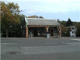 2
2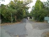 3
3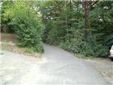 4
4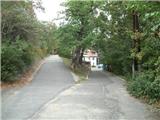 5
5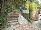 6
6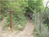 7
7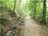 8
8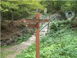 9
9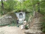 10
10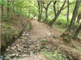 11
11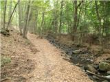 12
12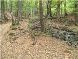 13
13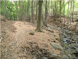 14
14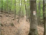 15
15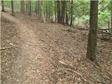 16
16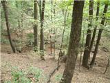 17
17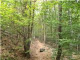 18
18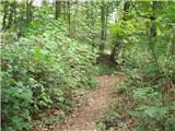 19
19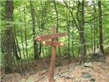 20
20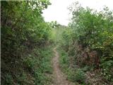 21
21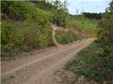 22
22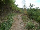 23
23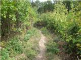 24
24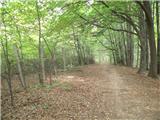 25
25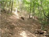 26
26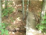 27
27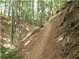 28
28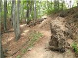 29
29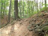 30
30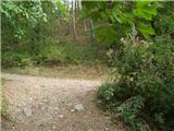 31
31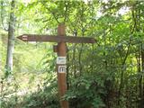 32
32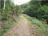 33
33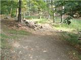 34
34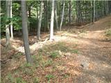 35
35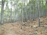 36
36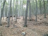 37
37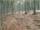 38
38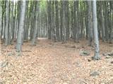 39
39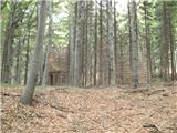 40
40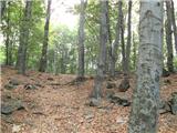 41
41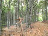 42
42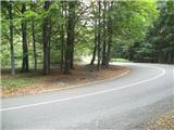 43
43 44
44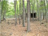 45
45 46
46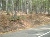 47
47 48
48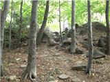 49
49 50
50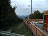 51
51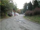 52
52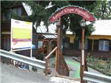 53
53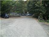 54
54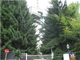 55
55 56
56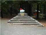 57
57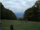 58
58
Discussion about the trail Matrafuered - Kékestető (Marijina pot)
|
| Marx12. 08. 2013 |
V opisu gore je Galyatető opisana kot drugi najvišji vrh na Madžarskem. Tehnično je za nekaj metrov višji neizraziti vrh Pezső Kő ki se nahaja malo jugovzhodno od Kekesa.
Spomenik sa slike 57 zaprav ni najvišja točka, ampak do sameg Kekesa ni mogoče priti ker se nahaja za ograjom ogromneg TV tornja...
|
|
|