Teichalm (Teichalmsee) - Zachenkreuz
Starting point: Teichalm (Teichalmsee) (1172 m)
| Lat/Lon: | 47,35034°N 15,46031°E |
| |
Time of walking: 1 h 20 min
Difficulty: easy unmarked way
Altitude difference: 429 m
Altitude difference po putu: 429 m
Map:
Recommended equipment (summer):
Recommended equipment (winter): ice axe, crampons
Views: 176
 | 1 person likes this post |
Access to the starting point:
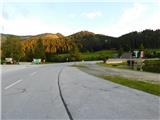
From Border crossing Šentilj, continue along the motorway to Graz and on to Linz and Salzburg. The A9 motorway is soon exited and the drive continues slightly to the right in the direction of Vienna and continues on the S35 expressway. Leave the expressway at the exit for Mixnitz, then take the exit towards Teichalm from the roundabout. Continue following the signs for Teichalm. At the end of the village of St. Erhard, turn right once more towards Teichalm and then start climbing steeply. When you reach mountain pasture Breitalm, you gradually start to descend, and we follow the road until we reach the parking lot at Lake Teichalmsee.
Path description:
From the parking lot, walk to the Almgasthof Zum Teichwirt, where you will see the first yellow mountain direction signs. Take the path towards the Hochlantsch summit, and the path splits behind the buildings.
Take the path slightly right in the direction of the Hochlantsch summit (slightly left Rote Wand, Schüsserlbrunn, Guter Hirte. . . ), where you continue on the grassy cart track in a slight ascent to the edge of the forest. At the edge of the forest, signs direct you left onto a footpath that climbs first along the edge of the forest and then through the forest. Higher up, we cross a few tracks and forest roads, and the path occasionally leads us through a few viewpoints, of which there are more and more higher up. A little further on, we reach a larger grassy slope, from which we get a nice view, especially to the south.
Here the marked path to Hochlantsch turns slightly to the left, and we follow the direction along the ridge, reaching the summit with the cross in a few minutes.

Pictures:
 1
1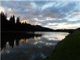 2
2 3
3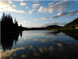 4
4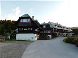 5
5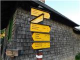 6
6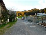 7
7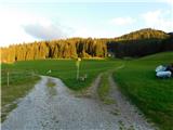 8
8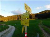 9
9 10
10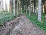 11
11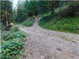 12
12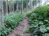 13
13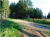 14
14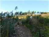 15
15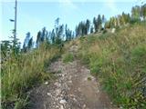 16
16 17
17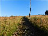 18
18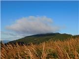 19
19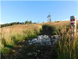 20
20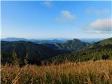 21
21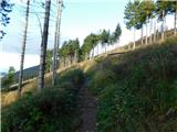 22
22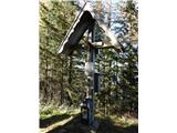 23
23
Discussion about the trail Teichalm (Teichalmsee) - Zachenkreuz