Jelašca (info tabla) - Velika Lelija
Starting point: Jelašca (info tabla) (1200 m)
Time of walking: 3 h
Difficulty: partly demanding marked way
Altitude difference: 832 m
Altitude difference po putu: 832 m
Map:
Recommended equipment (summer):
Recommended equipment (winter): ice axe, crampons
Views: 1.577
 | 2 people like this post |
Access to the starting point:
From Sarajevo, we drive towards Foca. In Dobro Polje, turn right towards Kalinovik. After about 16 km, turn left at the crossroads for Mijleva or Jelašca. Then follow the signs for Jelašca and drive through it. After 6 km on macadam, you will reach the starting point, where there is a sign with information for Velika Lelija. You can continue by car if you wish (description below), but the road is very bad.
Option: From the parking lot, turn right onto the wide cart track, which is also indicated by signs and densely placed markings. After 1. 5 km, you will come to a crossroads where you follow the signs and continue along the main road. After a further 1. 5 km, the road branches off to the right and we follow the signs along the main road. After a further kilometre, cart track ends, here you can park your car.
Path description:
From the parking lot, turn right onto the wide cart track, which is also indicated by signs and densely placed markings. After 1. 5 km, you will come to a crossroads where you will follow the signs and continue along the main road. After a further 1. 5 km, the road branches off to the right and we follow the signs along the main road. After a further kilometre, cart track ends. We still have 2 hours to go to the summit.
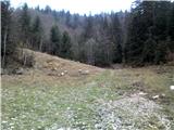
We continue slightly to the right in the direction of the signs and markings through the forest. After about half an hour you will reach the spring "Jablan vrelo", where you can have a drink of water. In half an hour you will reach a sinkhole and a small plateau. To the left, a steep climb starts towards the summit. After the initial ascent, cross the slope of Lelija on its eastern side and then climb up to the ridge. After the first slightly higher summit, there is a short descent and a climb to the top of Velika Lelija.
Pictures:
 1
1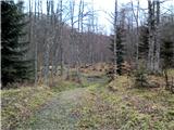 2
2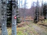 3
3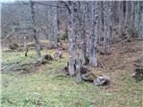 4
4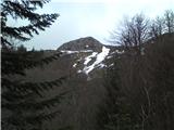 5
5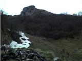 6
6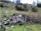 7
7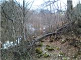 8
8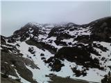 9
9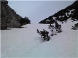 10
10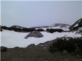 11
11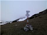 12
12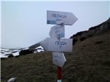 13
13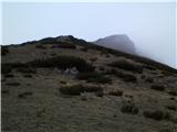 14
14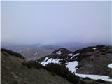 15
15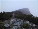 16
16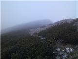 17
17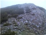 18
18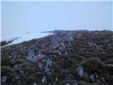 19
19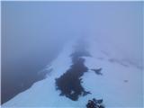 20
20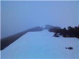 21
21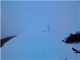 22
22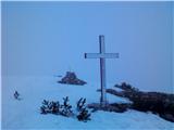 23
23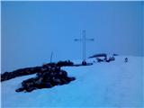 24
24
Discussion about the trail Jelašca (info tabla) - Velika Lelija