Blaguško jezero - Blaguško jezero (path around the lake)
Starting point: Blaguško jezero (220 m)
| Lat/Lon: | 46,56612°N 16,00164°E |
| |
Name of path: path around the lake
Time of walking: 30 min
Difficulty: easy marked way
Altitude difference: 0 m
Altitude difference po putu: 40 m
Map:
Recommended equipment (summer):
Recommended equipment (winter):
Views: 1.160
 | 1 person likes this post |
Access to the starting point:
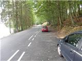
a) From the Maribor - Lendava motorway, take the Sveti Jurij ob Ščavnici exit, then follow the signs for the above-mentioned place and turn right towards Lenart in Slovenske gorice. The road then turns into a forest, where you will soon see the signs for Blaguško jezero, which point you sharp right. Drive for about 100 m and park in the parking lot.
b) Take Ptuj, then follow the signs to Radenci and follow the main road to Sveti Jurij ob Ščavnici, where you turn left towards Lenart v Slovenskih goricah. The road then turns into a forest, where you will soon see signs for Blaguško jezero, which point you sharp right. Drive for about 100 m and park in the parking lot.
Path description:
From the parking lot, continue onwards, where you will see the first markings along the eastern shore of the lake. The path ahead leads us over the embankment, from which we have a beautiful view of the lake and the Forest glamping resort Blaguš. On the other side of the embankment, the path turns left and moves slightly away from the lake, and when the fence ends, you descend along it back to the lake. When you reach the lake, turn right and continue along the northern shore of the lake to a dirt road that leads into the forest. At a small crossroads, go left, then pass a few houses to reach the main road, where you go left (the marked path to Cerkvenjak continues on the right).
Continue along the left-hand edge of the main road and you will soon be near the lake again. Continue slightly above the lake so that you have a nice view of the lake and the surrounding area. Continue past a small bay, then turn left off the main road in the direction of Blaguško jezero and follow the road from the starting point to the parking lot where you started.
The description and pictures refer to the situation in September 2021.

Pictures:
 1
1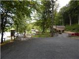 2
2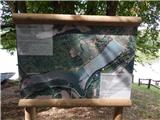 3
3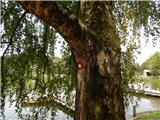 4
4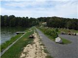 5
5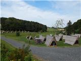 6
6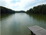 7
7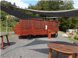 8
8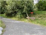 9
9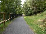 10
10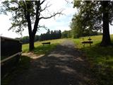 11
11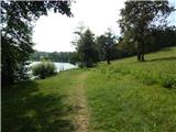 12
12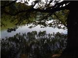 13
13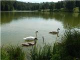 14
14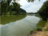 15
15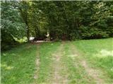 16
16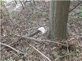 17
17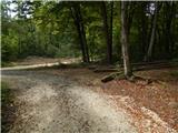 18
18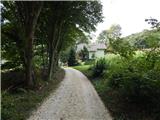 19
19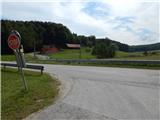 20
20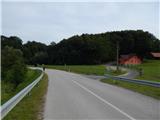 21
21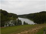 22
22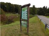 23
23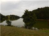 24
24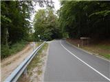 25
25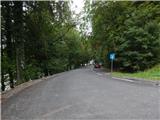 26
26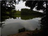 27
27
Discussion about the trail Blaguško jezero - Blaguško jezero (path around the lake)