Bresternica (Šiker) - Možičev vrh
Starting point: Bresternica (Šiker) (456 m)
Time of walking: 2 h 15 min
Difficulty: easy unmarked way
Altitude difference: 470 m
Altitude difference po putu: 500 m
Map:
Recommended equipment (summer):
Recommended equipment (winter): ice axe, crampons
Views: 231
 | 1 person likes this post |
Access to the starting point:
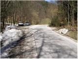
From the road Maribor - Dravograd, in Bresternica (Brestrnica on the maps) you will see signs for the village of Gaj, which will direct you to the right (and from the route of Dravograd, to the left). After a few metres, at a poorly marked crossroads, continue to the left and follow the road through the village to the chapel, where you will continue to the left. The ascending road leads us higher up to the crossroads, at which we see the mountain direction signs for Tojzlov vrh. We continue here to the left and follow the road, which continues to climb gradually, to the road marker 7. 5 km. Just a few metres before this marker, you will see a parking area and mountain direction signs along the road.
Path description:
From the parking lot, go back a few metres, cross the small bridge and follow the footpath towards Žavcarjev Peak. The marked path cart track soon enters the forest and then climbs moderately. Higher up, cart track turns left, passes out of the woods and leads to a hamlet of a few houses only a short distance afterwards.
We continue our ascent along the road for a while, and then the signs direct us to the left onto a footpath that climbs along the edge of the forest. The path soon goes into the woods, where you come to a chapel, where the path turns slightly to the left. We continue up the initially gently sloping path, which climbs a little higher and leads us to a forest road, which we only cross (to the right, the Holy Ghost on Ostre Vrh).
From the road, continue slightly left towards Žavcar's Peak, where you walk for some 10 steps along the wider cart track, and then go left from it onto the marked narrower cart track. Continue through the forest, then return to it and after a short descent also return to the macadam road. Continue through the forest, and from the nearby crossroads go right towards the marked road (the Ridge Farm Trail continues on the left), and then within a minute's further walking you will reach the Žavcarjevem vrh hut.
From the hut, continue right towards Žavcarjevje vrh, where you will follow a well-trodden path through the forest. After a few minutes of ascent, take the slightly left-hand cart track, which quickly leads to the 915 m high summit.
Go around the entry box on the left and then start descending through the forest on an unmarked path. At a lower level, the cart track is joined, and we follow it straight on (a slightly shorter path joins from the right and branches off the marked path at Fig. 15). A little further on, the path stops descending, and at a fork in the track, we take the one that starts to climb again. During the ascent, keep to the left so that the unmarked summit is reached by following the equally unmarked east ridge.
Starting point - Hut on Žavcarjevem vrh 1:50, Hut on Žavcarjevem vrh - Žavcarjev vrh 0:10, Žavcarjev vrh - Možičev vrh 0:15.

Pictures:
 1
1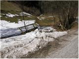 2
2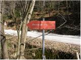 3
3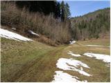 4
4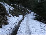 5
5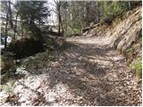 6
6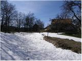 7
7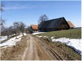 8
8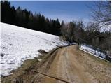 9
9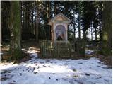 10
10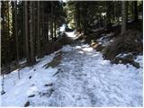 11
11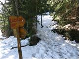 12
12 13
13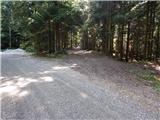 14
14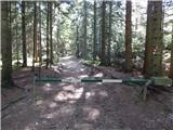 15
15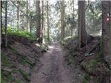 16
16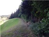 17
17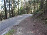 18
18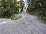 19
19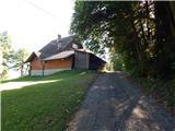 20
20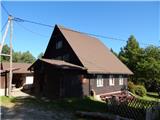 21
21 22
22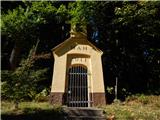 23
23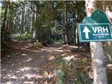 24
24 25
25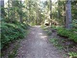 26
26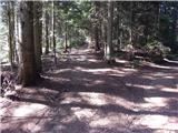 27
27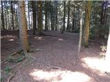 28
28 29
29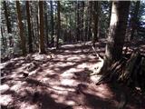 30
30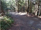 31
31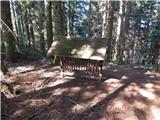 32
32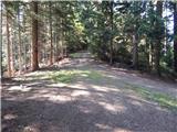 33
33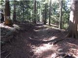 34
34 35
35 36
36 37
37 38
38
Discussion about the trail Bresternica (Šiker) - Možičev vrh