Bukovniško jezero - Bukovniško jezero (path around the lake)
Starting point: Bukovniško jezero (187 m)
| Lat/Lon: | 46,66901°N 16,33932°E |
| |
Name of path: path around the lake
Time of walking: 30 min
Difficulty: easy marked way
Altitude difference: 2 m
Altitude difference po putu: 30 m
Map: Pomurje 1:40.000
Recommended equipment (summer):
Recommended equipment (winter):
Views: 351
 | 1 person likes this post |
Access to the starting point:
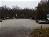
Leave the Pomurje motorway at exit Gančani, then follow the signs for Renkovci and then Dobrovnik. When you reach the main road Murska Sobota - Lendava in Dobrovnik, continue to the right, and just a little further on, go left towards Bukovnice Lake. After a few more kilometres, you will reach the parking area in front of Bukovnik Lake.
Path description:
From the parking lot, continue along the path that runs parallel to the road and quickly leads to a marked crossroads where the path to Strehovske gorice and the path to St. Vid branch off to the left.
Continue straight ahead and, just a little further on, you will emerge from the woods and climb the steps to the Bukovnik Lake embankment.
When you reach the embankment, go left and, looking at Bukovniško jezero, you will reach the Bridge of Love. After the bridge, there is a short climb up some stairs and then the path splits.
The marked path continues slightly to the left and leads to St. Vid and then Bogojina, while we continue to the right and continue walking along the path that continues along the lake. We continue walking along the dirt road which leads us along the western shore of the lake. When you reach the north-western part of the lake, turn right at the crossroads, and when you reach a wider dirt road a little further on, turn right again. Continue along the path, which continues slightly to the right of the road and leads you along the route of the former forest railway. The path, along which we see some information boards, later leads us to the Fisherman's Hut, after which the path turns left and then semicircularly goes around a small bay. On the other side of the bay, you reach an embankment, in the middle of which you go down to the left and follow the lake access path back to the starting point.

Pictures:
 1
1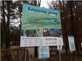 2
2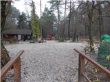 3
3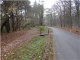 4
4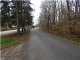 5
5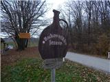 6
6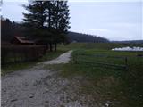 7
7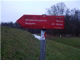 8
8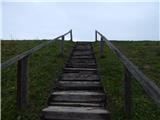 9
9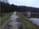 10
10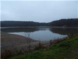 11
11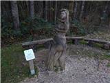 12
12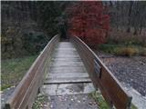 13
13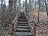 14
14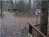 15
15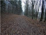 16
16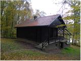 17
17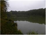 18
18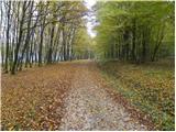 19
19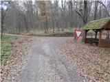 20
20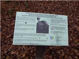 21
21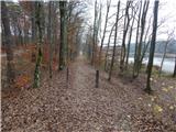 22
22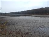 23
23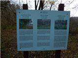 24
24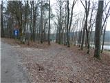 25
25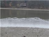 26
26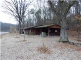 27
27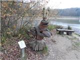 28
28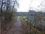 29
29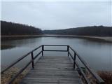 30
30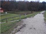 31
31
Discussion about the trail Bukovniško jezero - Bukovniško jezero (path around the lake)