Gornji Petrovci (cemetery) - Križarka
Starting point: Gornji Petrovci (cemetery) (356 m)
| Lat/Lon: | 46,81671°N 16,19833°E |
| |
Time of walking: 1 h 35 min
Difficulty: easy unmarked way
Altitude difference: 57 m
Altitude difference po putu: 95 m
Map: Pomurje 1:40.000
Recommended equipment (summer):
Recommended equipment (winter):
Views: 109
 | 1 person likes this post |
Access to the starting point:
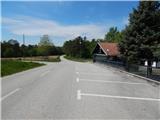
Take the road to Murska Sobota, then follow the signs for Hodoš. At Gornji Petrovci, turn left towards Kuzma. At the primary school Gornji Petrovci, go left towards Stanjevce. Continue past the Evangelical Church in Gornji Petrovci, and then you will reach the cemetery parking lot, and we will drive a little further, where we will park in the last parking lot, which is located at the end of the upper cemetery.
Path description:
From the parking lot, continue westwards along the asphalt road, which leads you through the hilly world of Goričko. Soon you arrive in Stanjevci, where you pass a few houses, and when the road turns right, before you reach the Mala rosa estate, take a slight left onto the cart track, which takes you a minute further on foot to reach the beautifully decorated chapel in Stanjevci, next to which you will find an information board, a table and some benches.
From the chapel, walk back a few steps and then, at the Mala rosa estate, reach the tarmac road that you left a little earlier. Go straight ahead at the nearby crossroads, the village ends and soon the asphalt ends. We continue along the macadam road, which turns into a forest behind the hunting observatory, through which we then climb, for the most part, barely significantly. After a while we reach a marked crossroads where the road to St Anne turns sharp right (5 minutes), and we continue straight on along the wider dirt road, which continues with some short ups and downs, and at the crossroads we continue straight on. A few 10 steps before reaching the tarmac road, we see a faint path on the right, which then parallels the nearby tarmac road and ascends easily to the unmarked top of Križarka.
The description and pictures refer to the situation in May 2021 and May 2022.

Pictures:
 1
1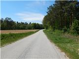 2
2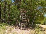 3
3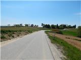 4
4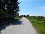 5
5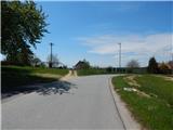 6
6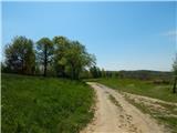 7
7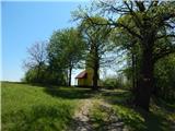 8
8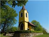 9
9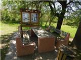 10
10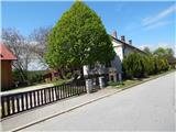 11
11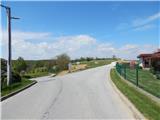 12
12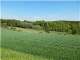 13
13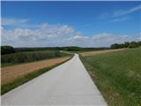 14
14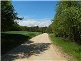 15
15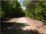 16
16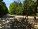 17
17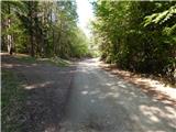 18
18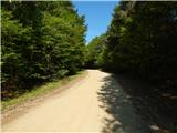 19
19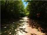 20
20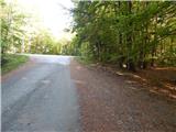 21
21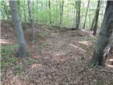 22
22 23
23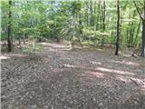 24
24 25
25
Discussion about the trail Gornji Petrovci (cemetery) - Križarka