Zgornja Slivnica - Pugled
Starting point: Zgornja Slivnica (460 m)
| Lat/Lon: | 45,9832°N 14,6328°E |
| |
Time of walking: 1 h 30 min
Difficulty: easy marked way
Altitude difference: 155 m
Altitude difference po putu: 200 m
Map: Ljubljana - okolica 1:50.000
Recommended equipment (summer):
Recommended equipment (winter):
Views: 13.666
 | 2 people like this post |
Access to the starting point:
From the Ljubljana - Novo mesto motorway, take the exit Grosuplje and Šmarje - Sap and follow the road towards the village Paradišče. A little after the village Paradišče you will come to a crossroads, where you continue to the right in the direction of the village Zgornja Slivnica. Follow the road, which then starts to climb steeply, to the parking lot at the road turnoff to Magdalenska gora (the crossroads is located a few 100m before the village Zgornja Slivna). Slivna is a short distance from the village Zgornja Slivnica.
Path description:
From the parking lot, continue along the "main" road, which leads you to the south-western part of the village Zgornja Slivnica within a few minutes' walk. Just a little further on you reach a crossroads where you continue straight on towards the village of Lipoglav (left Repče, right Zgornja Slivnica).
The road then descends slightly, then climbs again, and just a little higher up brings us to the next crossroads. Continue slightly left (sharp right Zgornja Slivna) along the road, which leads past the cross to the village of Mali Lipoglav. In the centre of the village, by the inn, you come to the next crossroads, where you turn left towards the Church of St Nicholas (right Ljubljana and Veliki Lipoglav).
Just after the church, you will see a marker on a tree pointing to the right to cart track, which starts to descend over grassy slopes. After a few minutes of descent, the slightly less well-marked path starts climbing again and quickly leads to the outskirts of the village of Veliki Lipoglav. Continue along the road, which leads us in a few steps to the chapel at which there is a crossroads. Continue to the left and follow the road to a sign with the inscription "Circular walking path under Pugled". Here, continue left along the ascending road, which changes behind the last houses to cart track. Next, we climb the gently sloping and narrowing cart track, which, with fairly reliable markings and passing the NOB monument, leads us to the top of Pugled, where there is another slightly larger monument.

Pictures:
 1
1 2
2 3
3 4
4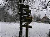 5
5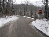 6
6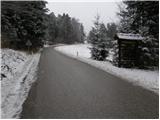 7
7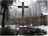 8
8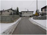 9
9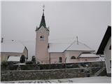 10
10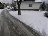 11
11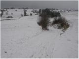 12
12 13
13 14
14 15
15 16
16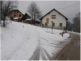 17
17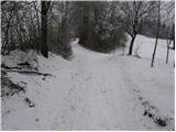 18
18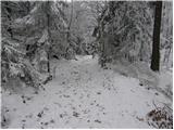 19
19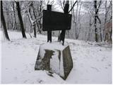 20
20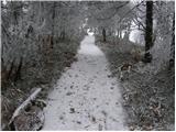 21
21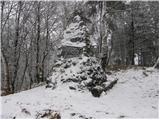 22
22
Discussion about the trail Zgornja Slivnica - Pugled
|
| grega_p20. 02. 2021 |
Sicer bi se moral včeraj imenovati Nigled, ampak kljub temu lep izlet(ek) od Velikega Lipoglava.
Ogromno borovničevja ob poti in zanimiva zmrznjena stoječa mlaka levo spodaj v mali dolinici malo pod vrhom. Malenkosti zmeraj popestrijo...
|
|
|